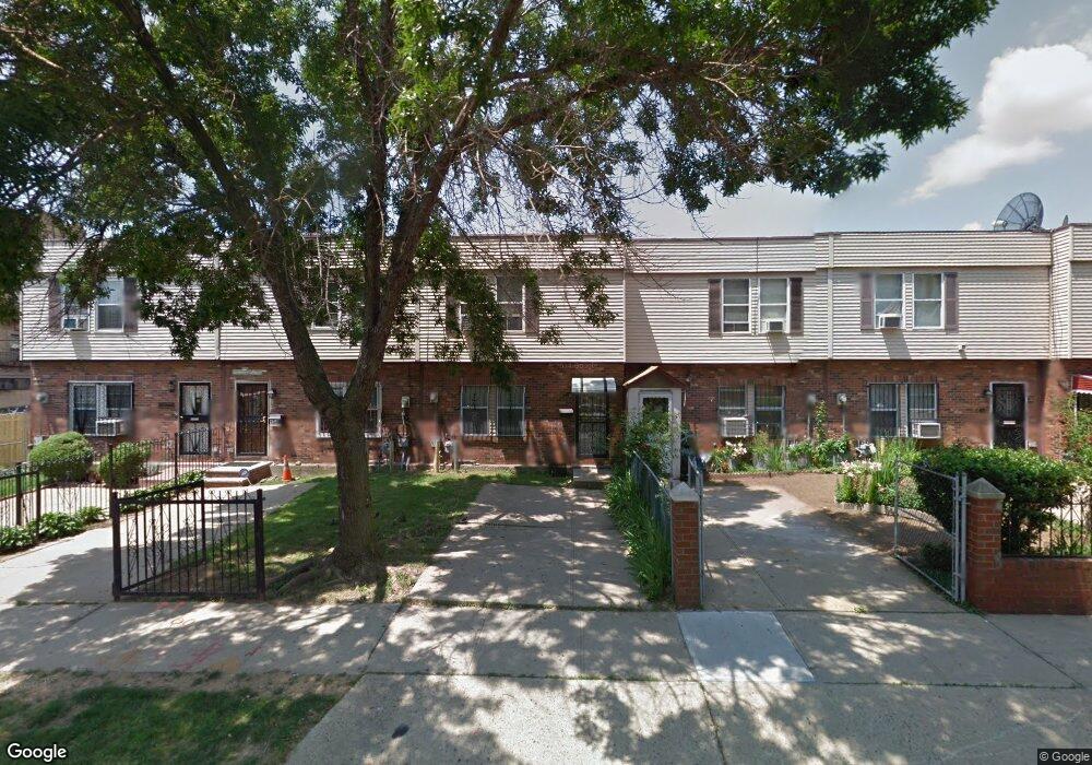
152 Amboy St Brooklyn, NY 11212
Brownsville NeighborhoodEstimated Value: $563,470 - $659,000
--
Bed
--
Bath
1,340
Sq Ft
$453/Sq Ft
Est. Value
About This Home
This home is located at 152 Amboy St, Brooklyn, NY 11212 and is currently estimated at $606,368, approximately $452 per square foot. 152 Amboy St is a home located in Kings County with nearby schools including P.S. 156 Waverly, P.S. 150 - Christopher, and P.S. 165 Ida Posner.
Ownership History
Date
Name
Owned For
Owner Type
Purchase Details
Closed on
May 23, 2023
Sold by
Ford Mary E
Bought by
Ford Calhoun Cynthia
Current Estimated Value
Purchase Details
Closed on
Sep 24, 1986
Sold by
Nyc Prtnrshp D
Bought by
Ford Mary E
Home Financials for this Owner
Home Financials are based on the most recent Mortgage that was taken out on this home.
Original Mortgage
$22,334
Interest Rate
10.65%
Mortgage Type
Purchase Money Mortgage
Create a Home Valuation Report for This Property
The Home Valuation Report is an in-depth analysis detailing your home's value as well as a comparison with similar homes in the area
Home Values in the Area
Average Home Value in this Area
Purchase History
| Date | Buyer | Sale Price | Title Company |
|---|---|---|---|
| Ford Calhoun Cynthia | -- | -- | |
| Ford Calhoun Cynthia | -- | -- | |
| Ford Mary E | -- | -- |
Source: Public Records
Mortgage History
| Date | Status | Borrower | Loan Amount |
|---|---|---|---|
| Previous Owner | Ford Mary E | $22,334 |
Source: Public Records
Tax History Compared to Growth
Tax History
| Year | Tax Paid | Tax Assessment Tax Assessment Total Assessment is a certain percentage of the fair market value that is determined by local assessors to be the total taxable value of land and additions on the property. | Land | Improvement |
|---|---|---|---|---|
| 2025 | $5,030 | $37,140 | $14,400 | $22,740 |
| 2024 | $5,030 | $34,440 | $14,400 | $20,040 |
| 2023 | $1,740 | $32,700 | $14,400 | $18,300 |
| 2022 | $1,566 | $34,440 | $14,400 | $20,040 |
| 2021 | $1,656 | $30,240 | $14,400 | $15,840 |
| 2020 | $1,258 | $25,740 | $14,400 | $11,340 |
| 2019 | $1,498 | $26,880 | $14,400 | $12,480 |
| 2018 | $1,348 | $19,689 | $13,540 | $6,149 |
| 2017 | $3,141 | $18,576 | $13,803 | $4,773 |
| 2016 | $1,229 | $18,504 | $14,326 | $4,178 |
| 2015 | $618 | $18,060 | $12,000 | $6,060 |
| 2014 | $618 | $17,392 | $11,712 | $5,680 |
Source: Public Records
Map
Nearby Homes
- 124 Herzl St
- 96 Herzl St
- 601 Thomas S Boyland St
- 589 Saratoga Ave
- 1585 Pitkin Ave
- 637 Saratoga Ave
- 548 Rockaway Ave
- 53 Legion St
- 121 Legion St
- 45 Legion St
- 2029 Strauss St
- 67 Chester St Unit 3
- 2041 Strauss St
- 671 Saratoga Ave
- 675 Saratoga Ave
- 256 Herzl St
- 51 Chester St
- 1814 Saint Johns Place Unit B4
- 687 Saratoga Ave
- 205 Legion St