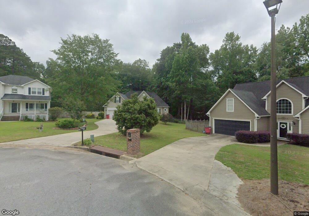
152 Ashford Trace Ln Macon, GA 31210
Estimated Value: $268,965 - $293,000
3
Beds
3
Baths
2,281
Sq Ft
$123/Sq Ft
Est. Value
About This Home
This home is located at 152 Ashford Trace Ln, Macon, GA 31210 and is currently estimated at $280,991, approximately $123 per square foot. 152 Ashford Trace Ln is a home located in Bibb County with nearby schools including Carter Elementary School, Howard Middle School, and Howard High School.
Ownership History
Date
Name
Owned For
Owner Type
Purchase Details
Closed on
Jun 27, 2012
Sold by
Baugham Betsy J
Bought by
Jones Bobby and Jones Janice Perkins
Current Estimated Value
Home Financials for this Owner
Home Financials are based on the most recent Mortgage that was taken out on this home.
Original Mortgage
$154,400
Outstanding Balance
$106,983
Interest Rate
3.75%
Mortgage Type
FHA
Estimated Equity
$174,008
Purchase Details
Closed on
Jul 3, 1996
Sold by
Cornerstone Custom Construction Corp
Bought by
Baugham Betsy J
Create a Home Valuation Report for This Property
The Home Valuation Report is an in-depth analysis detailing your home's value as well as a comparison with similar homes in the area
Home Values in the Area
Average Home Value in this Area
Purchase History
| Date | Buyer | Sale Price | Title Company |
|---|---|---|---|
| Jones Bobby | $160,000 | None Available | |
| Baugham Betsy J | $128,300 | -- |
Source: Public Records
Mortgage History
| Date | Status | Borrower | Loan Amount |
|---|---|---|---|
| Open | Jones Bobby | $154,400 |
Source: Public Records
Tax History Compared to Growth
Tax History
| Year | Tax Paid | Tax Assessment Tax Assessment Total Assessment is a certain percentage of the fair market value that is determined by local assessors to be the total taxable value of land and additions on the property. | Land | Improvement |
|---|---|---|---|---|
| 2024 | $2,056 | $87,969 | $12,000 | $75,969 |
| 2023 | $1,599 | $87,969 | $12,000 | $75,969 |
| 2022 | $2,671 | $84,139 | $8,800 | $75,339 |
| 2021 | $2,518 | $73,275 | $8,000 | $65,275 |
| 2020 | $2,573 | $73,275 | $8,000 | $65,275 |
| 2019 | $2,594 | $73,275 | $8,000 | $65,275 |
| 2018 | $4,153 | $73,275 | $8,000 | $65,275 |
| 2017 | $2,177 | $65,098 | $8,000 | $57,098 |
| 2016 | $1,993 | $64,611 | $8,000 | $56,611 |
| 2015 | $3,130 | $70,901 | $8,000 | $62,901 |
| 2014 | $2,826 | $64,611 | $8,000 | $56,611 |
Source: Public Records
Map
Nearby Homes
- 149 Ashford Trace Ln
- 180 Autumn Trace Ct
- 103 Hanover Place
- 108 Clarendon Ct
- 131 Ashford Park
- 106 Trillium Terrace
- 200 Stone Edge Rd
- 824 N Confederate Dr
- 1137 N Plantation Pkwy
- 900 S Plantation Pkwy
- 879 N Confederate Dr
- 363 Jefferson Park Dr
- 235 Jefferson Park Dr
- 260 Edgewater Dr
- 1069 Greentree Pkwy
- 1087 Greentree Pkwy
- 111 Fordham Ct
- 152 Ashford Trace Ln Unit 32
- 148 Ashford Trace Ln
- 0 Ashford Trace Ln Unit 7147428
- 0 Ashford Trace Ln Unit 7325177
- 156 Ashford Trace Ln
- 243 Autumn Trace Ct
- 144 Ashford Trace Ln
- 245 Autumn Trace Ct
- 231 Autumn Trace Ct
- 140 Ashford Trace Ln
- 143 Ashford Trace Ln
- 139 Ashford Trace Ln
- 225 Autumn Trace Ct
- 246 Autumn Trace Ct Unit 105-ALL
- 246 Autumn Trace Ct
- 135 Ashford Trace Ln
- 136 Ashford Trace Ln
- 221 Autumn Trace Ct
- 242 Autumn Trace Ct
- 131 Ashford Trace Ln