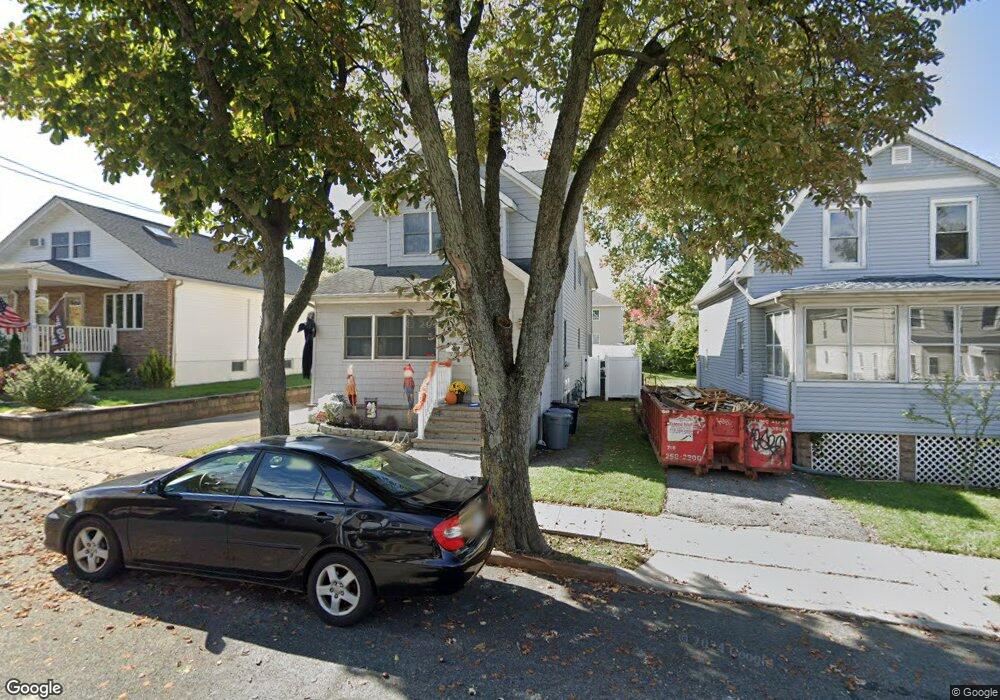
152 Barnard Ave Staten Island, NY 10307
Tottenville NeighborhoodEstimated Value: $814,000 - $1,106,000
--
Bed
--
Bath
2,640
Sq Ft
$372/Sq Ft
Est. Value
About This Home
This home is located at 152 Barnard Ave, Staten Island, NY 10307 and is currently estimated at $982,740, approximately $372 per square foot. 152 Barnard Ave is a home located in Richmond County with nearby schools including P.S. 1 Tottenville, Is 34 Tottenville, and Tottenville High School.
Ownership History
Date
Name
Owned For
Owner Type
Purchase Details
Closed on
May 7, 2014
Sold by
Greenfield Frances and Greenfield Robert
Bought by
Greenfield Frances and Greenfield Robert
Current Estimated Value
Purchase Details
Closed on
Feb 6, 2002
Sold by
Greenfield Frances
Bought by
Greenfield Frances and Greenfield Robert
Home Financials for this Owner
Home Financials are based on the most recent Mortgage that was taken out on this home.
Original Mortgage
$217,600
Interest Rate
6.85%
Mortgage Type
Purchase Money Mortgage
Create a Home Valuation Report for This Property
The Home Valuation Report is an in-depth analysis detailing your home's value as well as a comparison with similar homes in the area
Home Values in the Area
Average Home Value in this Area
Purchase History
| Date | Buyer | Sale Price | Title Company |
|---|---|---|---|
| Greenfield Frances | -- | None Available | |
| Greenfield Frances | -- | -- |
Source: Public Records
Mortgage History
| Date | Status | Borrower | Loan Amount |
|---|---|---|---|
| Closed | Greenfield Frances | $217,600 |
Source: Public Records
Tax History Compared to Growth
Tax History
| Year | Tax Paid | Tax Assessment Tax Assessment Total Assessment is a certain percentage of the fair market value that is determined by local assessors to be the total taxable value of land and additions on the property. | Land | Improvement |
|---|---|---|---|---|
| 2025 | $9,024 | $65,940 | $7,588 | $58,352 |
| 2024 | $9,024 | $53,880 | $9,206 | $44,674 |
| 2023 | $8,609 | $42,388 | $7,558 | $34,830 |
| 2022 | $7,983 | $55,020 | $11,040 | $43,980 |
| 2021 | $8,144 | $49,440 | $11,040 | $38,400 |
| 2020 | $7,994 | $49,140 | $11,040 | $38,100 |
| 2019 | $7,832 | $51,000 | $11,040 | $39,960 |
| 2018 | $7,201 | $35,323 | $7,737 | $27,586 |
| 2017 | $6,793 | $33,324 | $9,220 | $24,104 |
| 2016 | $6,447 | $32,250 | $9,200 | $23,050 |
| 2015 | $5,988 | $31,473 | $7,489 | $23,984 |
| 2014 | $5,988 | $31,201 | $8,906 | $22,295 |
Source: Public Records
Map
Nearby Homes
- 133 Fisher Ave
- 197 Craig Ave
- 5265 Arthur Kill Rd
- 147 Wood Ave
- 140 Craig Ave
- 397 Ellis St
- 217-219 Fisher Ave
- 69 Nashville St
- 233 Fisher Ave
- 46 Parker St
- 5362 Arthur Kill Rd
- 7036 Amboy Rd
- 42 Girard St
- 7 Parker St
- 112 Johnson Ave
- 21 Sprague Ave
- 7372 Amboy Rd
- 133 Butler Ave
- 141 Butler Ave
- 137 Butler Ave
- 150 Barnard Ave
- 156 Barnard Ave
- 146 Barnard Ave
- 164 Barnard Ave
- 144 Barnard Ave
- 153 Fisher Ave
- 147 Fisher Ave
- 142 Barnard Ave
- 159 Fisher Ave
- 166 Barnard Ave
- 141 Fisher Ave
- 161 Fisher Ave
- 165 Fisher Ave
- 138 Barnard Ave Unit Side
- 138 Barnard Ave Unit 1
- 138 Barnard Ave
- 153-155 Fisher Ave
- 139 Fisher Ave
- 151 Barnard Ave
- 170 Barnard Ave