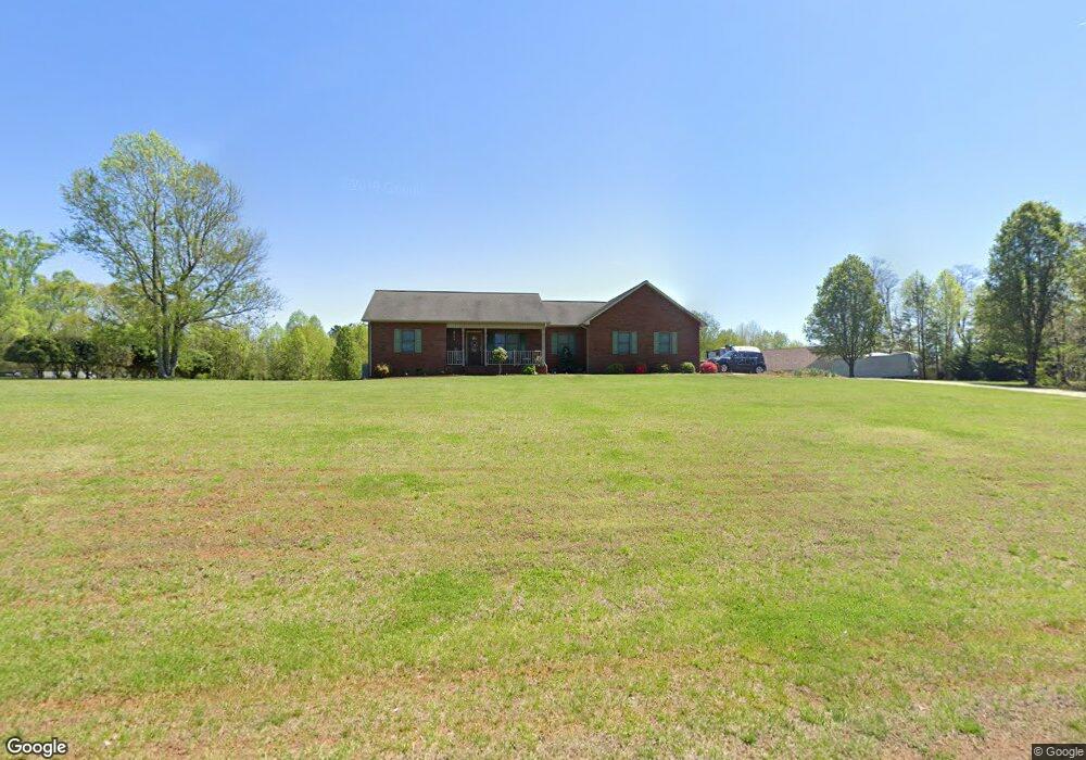
152 Barringer Dr Statesville, NC 28625
Estimated Value: $395,512 - $451,000
3
Beds
2
Baths
2,923
Sq Ft
$146/Sq Ft
Est. Value
About This Home
This home is located at 152 Barringer Dr, Statesville, NC 28625 and is currently estimated at $426,878, approximately $146 per square foot. 152 Barringer Dr is a home located in Iredell County with nearby schools including Central Elementary School, North Iredell Middle School, and North Iredell High School.
Ownership History
Date
Name
Owned For
Owner Type
Purchase Details
Closed on
Mar 31, 2003
Sold by
Renard Robin L and Renard Patricia L
Bought by
Haizlip Christopher T and Haizlip Wendy S
Current Estimated Value
Home Financials for this Owner
Home Financials are based on the most recent Mortgage that was taken out on this home.
Original Mortgage
$143,100
Outstanding Balance
$61,791
Interest Rate
5.82%
Estimated Equity
$365,087
Purchase Details
Closed on
Apr 6, 2001
Sold by
Alexander Timothy A and Alexander Pamela D
Bought by
Renard Robin L and Renard Patricia L
Home Financials for this Owner
Home Financials are based on the most recent Mortgage that was taken out on this home.
Original Mortgage
$44,000
Interest Rate
6.99%
Purchase Details
Closed on
Nov 1, 1996
Bought by
Alexander Timothy A and Alexander Pamela S
Create a Home Valuation Report for This Property
The Home Valuation Report is an in-depth analysis detailing your home's value as well as a comparison with similar homes in the area
Home Values in the Area
Average Home Value in this Area
Purchase History
| Date | Buyer | Sale Price | Title Company |
|---|---|---|---|
| Haizlip Christopher T | $159,000 | -- | |
| Renard Robin L | $155,000 | -- | |
| Alexander Timothy A | -- | -- |
Source: Public Records
Mortgage History
| Date | Status | Borrower | Loan Amount |
|---|---|---|---|
| Open | Haizlip Christopher T | $143,100 | |
| Previous Owner | Renard Robin L | $44,000 |
Source: Public Records
Tax History Compared to Growth
Tax History
| Year | Tax Paid | Tax Assessment Tax Assessment Total Assessment is a certain percentage of the fair market value that is determined by local assessors to be the total taxable value of land and additions on the property. | Land | Improvement |
|---|---|---|---|---|
| 2024 | $1,635 | $267,020 | $25,000 | $242,020 |
| 2023 | $1,635 | $267,020 | $25,000 | $242,020 |
| 2022 | $1,228 | $186,080 | $25,000 | $161,080 |
| 2021 | $1,224 | $186,080 | $25,000 | $161,080 |
| 2020 | $1,224 | $186,080 | $25,000 | $161,080 |
| 2019 | $1,205 | $186,080 | $25,000 | $161,080 |
| 2018 | $1,076 | $171,330 | $20,700 | $150,630 |
| 2017 | $1,076 | $171,330 | $20,700 | $150,630 |
| 2016 | $1,076 | $171,330 | $20,700 | $150,630 |
| 2015 | $1,073 | $170,910 | $20,700 | $150,210 |
| 2014 | $1,028 | $175,810 | $20,700 | $155,110 |
Source: Public Records
Map
Nearby Homes
- 3359 Wilkesboro Hwy
- 112 Triton Dr
- 00 Hilltop Dr Unit 14
- 00 Hilltop Dr
- 00 Hilltop Dr Unit 13
- 154 Windy Hill Rd
- 212 Hill Farm Rd
- 3050 Wilkesboro Hwy
- 000 Cove Gap Rd
- Lot 22 Vance Farm Dr
- 203 Grassy Meadow Ln
- 164 Vance Farm Dr
- 4268 Wilkesboro Hwy
- 107 Porter Rd
- 111 Mallory Ln
- 133 Bluegill Ln
- 187 Newland Ln
- 179 Foy Ln
- 648 Dobson Farm Rd
- 223 Bluegill Ln
- 160 Barringer Dr
- 0 Barringer Dr
- 153 Barringer Dr
- 145 Barringer Dr
- 161 Barringer Dr
- 161 Barringer Dr Unit 6
- 139 Barringer Dr
- 170 Barringer Dr
- 3517 Wilkesboro Hwy
- 131 Barringer Dr
- 171 Barringer Dr
- 116 Barringer Dr
- 178 Barringer Dr
- 121 Barringer Dr
- 183 Barringer Dr
- 184 Barringer Dr
- 170 Pisgah Church Rd
- 160 Pisgah Church Rd
- 144 Pisgah Church Rd
- 165 Pisgah Church Rd