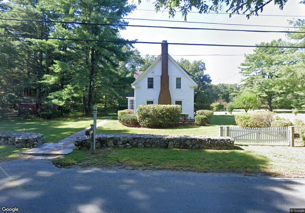
152 Beach St Wrentham, MA 02093
Estimated Value: $689,000 - $877,000
4
Beds
2
Baths
2,136
Sq Ft
$360/Sq Ft
Est. Value
About This Home
This home is located at 152 Beach St, Wrentham, MA 02093 and is currently estimated at $768,634, approximately $359 per square foot. 152 Beach St is a home located in Norfolk County with nearby schools including Delaney Elementary School and Charles E Roderick.
Ownership History
Date
Name
Owned For
Owner Type
Purchase Details
Closed on
Dec 30, 2023
Sold by
Willard George C and Willard Ellen M
Bought by
Willard Rt and Willard
Current Estimated Value
Purchase Details
Closed on
Aug 27, 1974
Bought by
Willard George C and Willard Ellen M
Create a Home Valuation Report for This Property
The Home Valuation Report is an in-depth analysis detailing your home's value as well as a comparison with similar homes in the area
Home Values in the Area
Average Home Value in this Area
Purchase History
| Date | Buyer | Sale Price | Title Company |
|---|---|---|---|
| Willard Rt | -- | None Available | |
| Willard George C | -- | -- |
Source: Public Records
Mortgage History
| Date | Status | Borrower | Loan Amount |
|---|---|---|---|
| Previous Owner | Willard George C | $35,000 |
Source: Public Records
Tax History Compared to Growth
Tax History
| Year | Tax Paid | Tax Assessment Tax Assessment Total Assessment is a certain percentage of the fair market value that is determined by local assessors to be the total taxable value of land and additions on the property. | Land | Improvement |
|---|---|---|---|---|
| 2025 | $6,912 | $596,400 | $278,400 | $318,000 |
| 2024 | $6,670 | $555,800 | $278,400 | $277,400 |
| 2023 | $6,728 | $533,100 | $254,400 | $278,700 |
| 2022 | $6,577 | $481,100 | $247,800 | $233,300 |
| 2021 | $6,512 | $462,800 | $232,600 | $230,200 |
| 2020 | $5,878 | $412,500 | $181,200 | $231,300 |
| 2019 | $5,967 | $422,600 | $197,800 | $224,800 |
| 2018 | $5,602 | $393,400 | $197,100 | $196,300 |
| 2017 | $5,284 | $370,800 | $193,300 | $177,500 |
| 2016 | $5,069 | $355,000 | $187,700 | $167,300 |
| 2015 | $4,910 | $327,800 | $180,500 | $147,300 |
| 2014 | $4,839 | $316,100 | $173,600 | $142,500 |
Source: Public Records
Map
Nearby Homes
- 791 South St Unit 5
- Lot 1 - Blueberry 2 Car Plan at King Philip Estates
- Lot 8 - Blueberry 2 Car Plan at King Philip Estates
- Lot 5 - Hughes 2 car Plan at King Philip Estates
- Lot 6 - Blueberry 3 Car Plan at King Philip Estates
- Lot 2 - Camden 2 Car Plan at King Philip Estates
- Lot 7 - Cedar Plan at King Philip Estates
- Lot 4 - Hemingway 2 Car Plan at King Philip Estates
- Lot 3 - Blueberry 2 Car Plan at King Philip Estates
- Lot 3 - 14 Earle Stewart Ln
- 11 Earle Stewart Ln
- 319 Taunton St
- 131 Creek St Unit 7
- 10 Nature View Dr
- 15 Nature View Dr
- 1204 South St
- 1222 South St
- 570 Franklin St
- 120 Hawes St
- 50 Green St