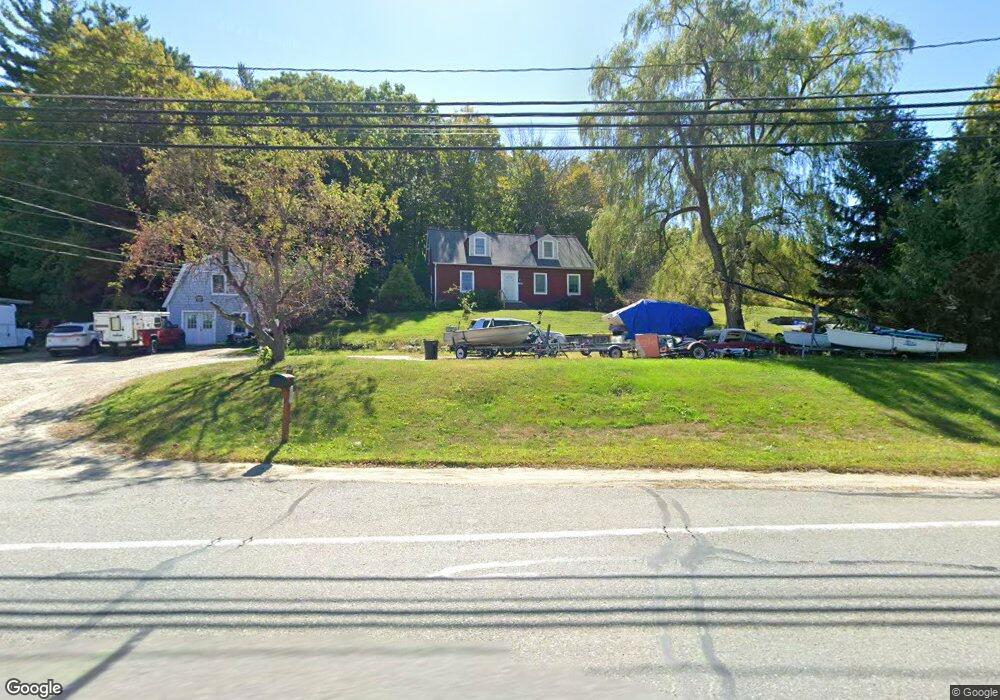
152 Boston Rd Unit A Groton, MA 01450
Estimated Value: $923,425
--
Bed
--
Bath
400
Sq Ft
$2,309/Sq Ft
Est. Value
About This Home
This home is located at 152 Boston Rd Unit A, Groton, MA 01450 and is currently estimated at $923,425, approximately $2,308 per square foot. 152 Boston Rd Unit A is a home located in Middlesex County with nearby schools including Groton Dunstable Regional High School, Groton Community School, and Seven Hills At Groton.
Ownership History
Date
Name
Owned For
Owner Type
Purchase Details
Closed on
Oct 17, 2003
Sold by
Johnson Ruth T and Johnson Norman A
Bought by
Norton Peter W
Current Estimated Value
Home Financials for this Owner
Home Financials are based on the most recent Mortgage that was taken out on this home.
Original Mortgage
$370,000
Outstanding Balance
$175,265
Interest Rate
6.43%
Mortgage Type
Commercial
Estimated Equity
$748,160
Create a Home Valuation Report for This Property
The Home Valuation Report is an in-depth analysis detailing your home's value as well as a comparison with similar homes in the area
Home Values in the Area
Average Home Value in this Area
Purchase History
| Date | Buyer | Sale Price | Title Company |
|---|---|---|---|
| Norton Peter W | $400,000 | -- | |
| Norton Peter W | $400,000 | -- |
Source: Public Records
Mortgage History
| Date | Status | Borrower | Loan Amount |
|---|---|---|---|
| Open | Norton Peter W | $370,000 | |
| Closed | Norton Peter W | $370,000 |
Source: Public Records
Tax History Compared to Growth
Tax History
| Year | Tax Paid | Tax Assessment Tax Assessment Total Assessment is a certain percentage of the fair market value that is determined by local assessors to be the total taxable value of land and additions on the property. | Land | Improvement |
|---|---|---|---|---|
| 2025 | $9,630 | $631,500 | $192,400 | $439,100 |
| 2024 | $9,501 | $629,600 | $192,400 | $437,200 |
| 2023 | $9,160 | $585,700 | $184,500 | $401,200 |
| 2022 | $8,201 | $477,100 | $169,000 | $308,100 |
| 2021 | $7,969 | $452,800 | $159,700 | $293,100 |
| 2020 | $7,249 | $417,100 | $158,100 | $259,000 |
| 2019 | $7,331 | $404,800 | $156,500 | $248,300 |
| 2018 | $7,235 | $387,500 | $153,300 | $234,200 |
| 2017 | $7,134 | $390,700 | $156,500 | $234,200 |
| 2016 | $7,206 | $383,700 | $146,800 | $236,900 |
| 2015 | $7,010 | $383,700 | $146,800 | $236,900 |
Source: Public Records
Map
Nearby Homes
- 65 Skyfields Dr
- 227 Boston Rd
- 100 Whitman Rd
- PL 639 Indian Hill Rd
- 45 Legacy Ln Unit B
- 117 Main St
- 12 Oriole Dr
- 72 Dale Ln
- 284 Martins Pond Rd
- 52 Chestnut Hill Rd
- 228 Main St
- 111 Farmers Row
- 247 Main St
- 40 Hemlock Park Dr
- 20 Hayes Woods Ln
- Lot 9A Hayes Woods Ln
- 35 Oxbow Ln
- 523 Martins Pond Rd
- 18 Douglas Dr
- 61 Arrow Trail
- 152 Boston Rd Unit 156
- 144 Boston Rd Unit 146
- 146 Boston Rd
- 144 Boston Rd
- 144 Boston Rd Unit 1
- 31 Skyfields Dr
- 13 Skyfields Dr
- 60 Skyfields Dr
- 36 Skyfields Dr
- 44 Forest Dr Unit B
- 158 Boston Rd
- 61 Skyfields Dr
- 98 Skyfields Dr
- 120 Boston Rd Unit C
- 120 Boston Rd
- 63 Skyfields Dr
- 75 Skyfields Dr
- 116 Boston Rd
- 103 Skyfields Dr
- 201 Boston Rd