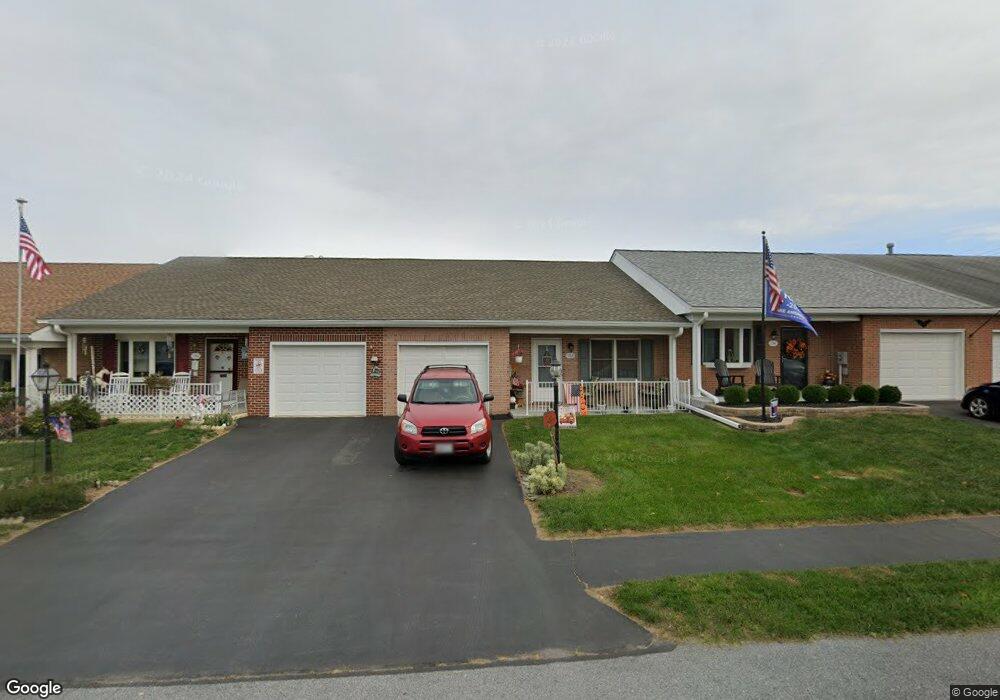
152 Buttercup Dr Hagerstown, MD 21740
South End NeighborhoodEstimated Value: $253,000 - $288,000
--
Bed
2
Baths
1,350
Sq Ft
$202/Sq Ft
Est. Value
About This Home
This home is located at 152 Buttercup Dr, Hagerstown, MD 21740 and is currently estimated at $272,140, approximately $201 per square foot. 152 Buttercup Dr is a home located in Washington County with nearby schools including Emma K. Doub Elementary School, E. Russell Hicks Middle School, and South Hagerstown High School.
Ownership History
Date
Name
Owned For
Owner Type
Purchase Details
Closed on
May 20, 2014
Sold by
Bowers Donald C and Bowers Jacquelyn R
Bought by
Seilhamer Beverly A
Current Estimated Value
Purchase Details
Closed on
Jul 3, 2001
Sold by
Thurston Higgs C and Thurston Rachel E
Bought by
Bowers Donald C and Bowers Jacquelyn R
Purchase Details
Closed on
Oct 3, 1996
Sold by
Crampton Paul N
Bought by
Thurston Higgs C and Thurston Rachel E
Create a Home Valuation Report for This Property
The Home Valuation Report is an in-depth analysis detailing your home's value as well as a comparison with similar homes in the area
Home Values in the Area
Average Home Value in this Area
Purchase History
| Date | Buyer | Sale Price | Title Company |
|---|---|---|---|
| Seilhamer Beverly A | $115,000 | None Available | |
| Bowers Donald C | $123,000 | -- | |
| Thurston Higgs C | $115,400 | -- |
Source: Public Records
Mortgage History
| Date | Status | Borrower | Loan Amount |
|---|---|---|---|
| Closed | Bowers Donald C | -- |
Source: Public Records
Tax History Compared to Growth
Tax History
| Year | Tax Paid | Tax Assessment Tax Assessment Total Assessment is a certain percentage of the fair market value that is determined by local assessors to be the total taxable value of land and additions on the property. | Land | Improvement |
|---|---|---|---|---|
| 2025 | $1,806 | $198,100 | $0 | $0 |
| 2024 | $1,806 | $174,400 | $35,000 | $139,400 |
| 2023 | $1,170 | $168,167 | $0 | $0 |
| 2022 | $1,677 | $161,933 | $0 | $0 |
| 2021 | $1,977 | $155,700 | $35,000 | $120,700 |
| 2020 | $1,590 | $150,700 | $0 | $0 |
| 2019 | $843 | $145,700 | $0 | $0 |
| 2018 | $1,491 | $140,700 | $35,000 | $105,700 |
| 2017 | $1,444 | $136,233 | $0 | $0 |
| 2016 | -- | $131,767 | $0 | $0 |
| 2015 | -- | $127,300 | $0 | $0 |
| 2014 | $1,621 | $127,300 | $0 | $0 |
Source: Public Records
Map
Nearby Homes
- 202 S Fork Dr
- 206 Winding Oak Dr
- 147 Buttercup Dr
- 137 Sunflower Dr
- 1203 Peppercorn Dr
- Lot 7-16 Lawton Ln
- 3 W Oak Ridge Dr
- 13 W Oak Ridge Dr
- 12.3 AC Southern Blvd
- 1432 Oak Ridge Place
- 1026 101 Brinker Dr
- 1026 302 Brinker Dr
- 1006 Rose Hill Ave
- 1002 Brinker Dr Unit 302
- 622 Knightsbridge Dr
- 628 Knightsbridge Dr
- 0 Kenly Ave
- 920 Pope Ave
- 906 Pope Ave
- 1037 & 1037 1/2 Spruce St
- 154 Buttercup Dr
- 150 Buttercup Dr
- 148 Buttercup Dr
- 156 Buttercup Dr
- 146 Buttercup Dr
- 159 Southern Oak Dr
- 161 Southern Oak Dr
- 144 Buttercup Dr
- 157 Southern Oak Dr
- 163 Southern Oak Dr
- 155 Southern Oak Dr
- 165 Southern Oak Dr
- 155 Buttercup Dr
- 153 Buttercup Dr
- 142 Buttercup Dr
- 157 Buttercup Dr
- 151 Buttercup Dr
- 149 Buttercup Dr
- 151 Southern Oak Dr
- 145 Buttercup Dr