152 Camelot Dr Bakersville, NC 28705
Estimated Value: $284,314 - $391,000
3
Beds
2
Baths
1,296
Sq Ft
$262/Sq Ft
Est. Value
About This Home
This home is located at 152 Camelot Dr, Bakersville, NC 28705 and is currently estimated at $339,438, approximately $261 per square foot. 152 Camelot Dr is a home with nearby schools including Gouge Elementary School, Bowman Middle School, and Mitchell High School.
Ownership History
Date
Name
Owned For
Owner Type
Purchase Details
Closed on
Oct 15, 2014
Sold by
York Melody Dawn
Bought by
York Robert Brian
Current Estimated Value
Purchase Details
Closed on
Apr 10, 2008
Sold by
York Robert Brain and Duncan Nora L
Bought by
York Robert Brian
Home Financials for this Owner
Home Financials are based on the most recent Mortgage that was taken out on this home.
Original Mortgage
$140,500
Interest Rate
6.08%
Mortgage Type
New Conventional
Purchase Details
Closed on
Jul 25, 2007
Sold by
Ledford Rodney L and Ledford Janet L
Bought by
York Robert Brian and Duncan Nora L
Create a Home Valuation Report for This Property
The Home Valuation Report is an in-depth analysis detailing your home's value as well as a comparison with similar homes in the area
Home Values in the Area
Average Home Value in this Area
Purchase History
| Date | Buyer | Sale Price | Title Company |
|---|---|---|---|
| York Robert Brian | -- | None Available | |
| York Robert Brian | -- | None Available | |
| York Robert Brian | $23,000 | None Available |
Source: Public Records
Mortgage History
| Date | Status | Borrower | Loan Amount |
|---|---|---|---|
| Previous Owner | York Robert Brian | $140,500 |
Source: Public Records
Tax History Compared to Growth
Tax History
| Year | Tax Paid | Tax Assessment Tax Assessment Total Assessment is a certain percentage of the fair market value that is determined by local assessors to be the total taxable value of land and additions on the property. | Land | Improvement |
|---|---|---|---|---|
| 2025 | $1,251 | $195,400 | $42,900 | $152,500 |
| 2024 | $1,231 | $195,400 | $42,900 | $152,500 |
| 2023 | $1,231 | $195,400 | $42,900 | $152,500 |
| 2022 | $1,231 | $195,400 | $42,900 | $152,500 |
| 2021 | $809 | $124,500 | $36,600 | $87,900 |
| 2020 | $809 | $124,500 | $36,600 | $87,900 |
| 2019 | $809 | $124,500 | $36,600 | $87,900 |
| 2018 | $809 | $124,500 | $36,600 | $87,900 |
| 2017 | $808 | $124,300 | $36,600 | $87,700 |
| 2016 | $746 | $124,300 | $36,600 | $87,700 |
| 2015 | $75 | $124,300 | $36,600 | $87,700 |
| 2014 | -- | $124,300 | $36,600 | $87,700 |
Source: Public Records
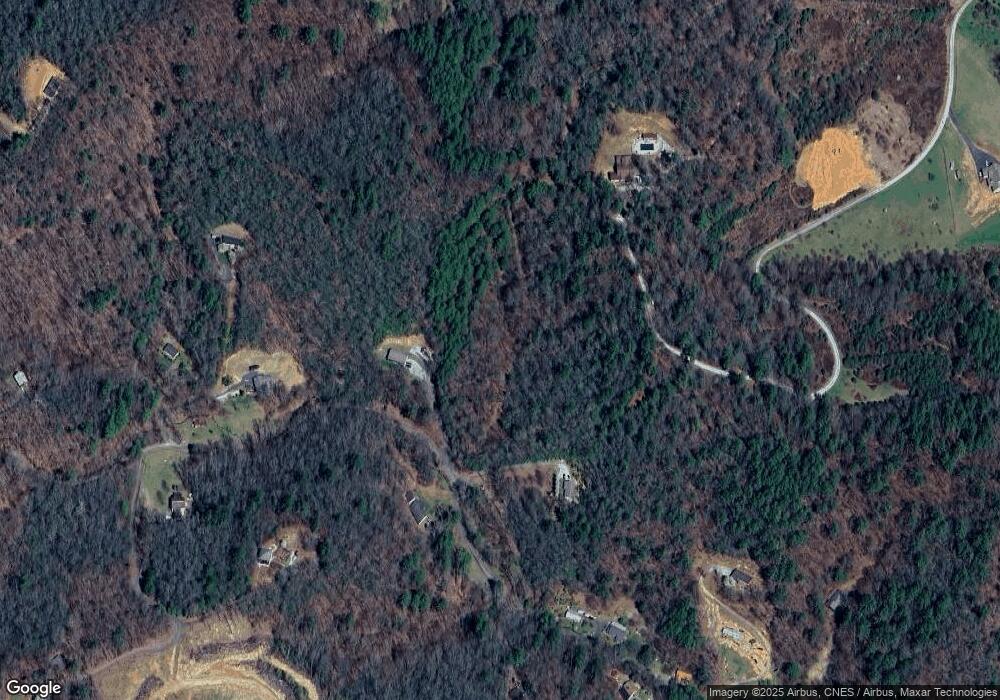
Map
Nearby Homes
- 5218 S 226 Hwy
- 370 Bear Creek Church Rd
- TBD Elkins Rd
- 00 Ashland Mountain Rd
- 00 Elkins Rd
- 1371 Wing Rd
- 1424 Bear Creek Rd
- 208 Murdock Rd
- 249 Starlin Mountain Rd
- 202 Snow Hill Rd
- TBD Robert Phillips Rd
- 71 Travis Ln
- 000 High Cliffs Trail
- 59 Deer Place Rd
- 496 English Ln
- 3734 Snow Creek Rd
- 468 Deer Park Lake Rd
- 607 Fred Sparks Rd
- 407 Terrell Dr
- 75 Appalachian Way
- 322 Sparks Rd
- 307 Sparks Rd
- 221 Sparks Rd
- 162 Camelot Dr
- 67 Lancelot Ct
- 202 Sparks Rd
- 546 Ledger Blvd
- 24 Robinhood Way N Unit N99
- 572 Stewart Rd
- 139 Sparks Rd
- 142 Sparks Rd
- 29 Robinhood Way N
- 85 Sparks Rd
- 40 Robinhood Way N
- 39 Arthurs Ct
- 101 Sparks Rd
- 000 Robinhood Way
- 670 Stewart Rd
- 75 Sparks Rd
- 71 Sparks Rd