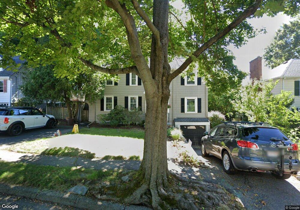
152 Cedar Ave Arlington, MA 02476
Arlington Heights NeighborhoodEstimated Value: $1,161,000 - $1,548,000
3
Beds
3
Baths
2,589
Sq Ft
$528/Sq Ft
Est. Value
About This Home
This home is located at 152 Cedar Ave, Arlington, MA 02476 and is currently estimated at $1,366,849, approximately $527 per square foot. 152 Cedar Ave is a home located in Middlesex County with nearby schools including Brackett Elementary School, Ottoson Middle School, and Arlington High School.
Ownership History
Date
Name
Owned For
Owner Type
Purchase Details
Closed on
Sep 30, 1999
Sold by
Jaffe Marcus C and Shorb Katherine H
Bought by
Farrell Kevin J and Hebert-Farrell Diane
Current Estimated Value
Home Financials for this Owner
Home Financials are based on the most recent Mortgage that was taken out on this home.
Original Mortgage
$150,000
Outstanding Balance
$45,360
Interest Rate
7.85%
Mortgage Type
Purchase Money Mortgage
Estimated Equity
$1,321,489
Purchase Details
Closed on
Oct 27, 1992
Sold by
White Paul E and Bergson Emily A
Bought by
Jaffe Marcus C and Shorb Katherine
Purchase Details
Closed on
Jan 5, 1989
Sold by
Tami Livio F
Bought by
White Paul E
Create a Home Valuation Report for This Property
The Home Valuation Report is an in-depth analysis detailing your home's value as well as a comparison with similar homes in the area
Home Values in the Area
Average Home Value in this Area
Purchase History
| Date | Buyer | Sale Price | Title Company |
|---|---|---|---|
| Farrell Kevin J | $385,000 | -- | |
| Jaffe Marcus C | $242,000 | -- | |
| White Paul E | $240,000 | -- |
Source: Public Records
Mortgage History
| Date | Status | Borrower | Loan Amount |
|---|---|---|---|
| Open | White Paul E | $150,000 | |
| Previous Owner | White Paul E | $20,000 | |
| Previous Owner | White Paul E | $187,000 |
Source: Public Records
Tax History Compared to Growth
Tax History
| Year | Tax Paid | Tax Assessment Tax Assessment Total Assessment is a certain percentage of the fair market value that is determined by local assessors to be the total taxable value of land and additions on the property. | Land | Improvement |
|---|---|---|---|---|
| 2025 | $12,228 | $1,135,400 | $600,700 | $534,700 |
| 2024 | $11,432 | $1,079,500 | $576,700 | $502,800 |
| 2023 | $10,805 | $963,900 | $504,600 | $459,300 |
| 2022 | $10,253 | $897,800 | $480,600 | $417,200 |
| 2021 | $10,040 | $885,400 | $480,600 | $404,800 |
| 2020 | $10,879 | $983,600 | $480,600 | $503,000 |
| 2019 | $9,238 | $820,400 | $450,500 | $369,900 |
| 2018 | $9,004 | $742,300 | $372,400 | $369,900 |
| 2017 | $8,946 | $712,300 | $342,400 | $369,900 |
| 2016 | $8,733 | $682,300 | $312,400 | $369,900 |
| 2015 | $9,047 | $667,700 | $306,400 | $361,300 |
Source: Public Records
Map
Nearby Homes
- 39 Chester St
- 305 Park Ave
- 789 Concord Turnpike
- 278 Hillside Ave
- 37 Fountain Rd Unit 2
- 10 Stevens Terrace
- 152 Scituate St
- 50 Hathaway Cir
- 141 Renfrew St
- 72 Hathaway Cir
- 155 Highland Ave Unit 1
- 77 Wellesley Rd
- 84 School St
- 142 Highland Ave Unit 142
- 53 Crestview Rd
- 39 Birch Hill Rd
- 33 Newport St
- 70 Birch Hill Rd
- 170 Clifton St
- 19 Fessenden Rd Unit 2