152 County Road 4681 Poplar Bluff, MO 63901
Poplar Bluff AreaEstimated Value: $169,000 - $430,079
About This Home
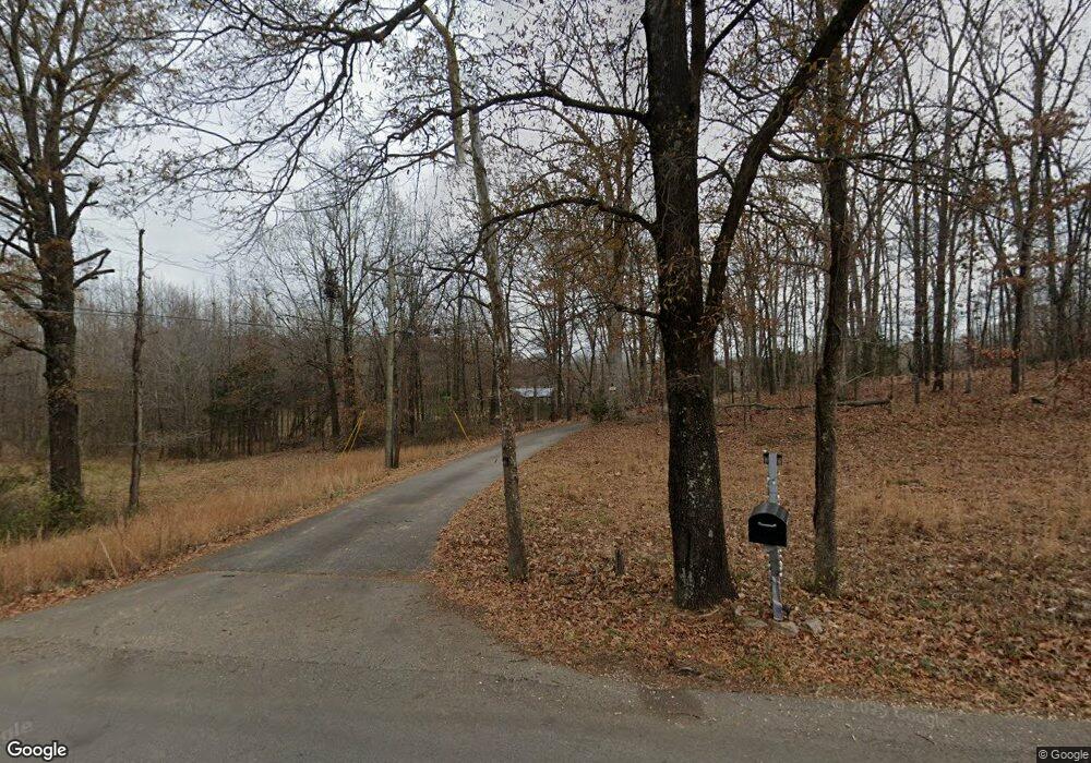
This home is located at 152 County Road 4681, Poplar Bluff, MO 63901 and is currently estimated at $353,020, approximately $121 per square foot. 152 County Road 4681 is a home located in Butler County with nearby schools including Eugene Field Elementary School, Poplar Bluff Fifth & Sixth Grade Center, and Poplar Bluff Junior High School.
Ownership History
We collect this data history from publicly available records. To have your information removed, we recommend requesting removal directly through your county’s website.
Purchase Details
Home Financials for this Owner
Home Financials are based on the most recent Mortgage that was taken out on this home.Purchase Details
Home Financials for this Owner
Home Financials are based on the most recent Mortgage that was taken out on this home.Purchase Details
Home Financials for this Owner
Home Financials are based on the most recent Mortgage that was taken out on this home.Home Values in the Area
Average Home Value in this Area
Purchase History
We collect this data history from publicly available records. To have your information removed, we recommend requesting removal directly through your county’s website.
| Date | Buyer | Sale Price | Title Company |
|---|---|---|---|
| -- | None Available | ||
| -- | None Available | ||
| -- | -- |
Mortgage History
We collect this data history from publicly available records. To have your information removed, we recommend requesting removal directly through your county’s website.
| Date | Status | Borrower | Loan Amount |
|---|---|---|---|
| Open | $280,500 | ||
| Previous Owner | $252,000 | ||
| Previous Owner | $204,000 | ||
| Previous Owner | $188,500 |
Tax History
We collect this data history from publicly available records. To have your information removed, we recommend requesting removal directly through your county’s website.
| Year | Tax Paid | Tax Assessment Tax Assessment Total Assessment is a certain percentage of the fair market value that is determined by local assessors to be the total taxable value of land and additions on the property. | Land | Improvement |
|---|---|---|---|---|
| 2025 | $2,253 | $51,820 | $0 | $0 |
| 2024 | $21 | $48,000 | $0 | $0 |
| 2023 | $2,138 | $48,000 | $0 | $0 |
| 2022 | $2,066 | $46,490 | $0 | $0 |
| 2021 | $2,067 | $46,490 | $0 | $0 |
| 2020 | $1,954 | $43,270 | $0 | $0 |
| 2019 | $1,952 | $43,270 | $0 | $0 |
| 2018 | $1,952 | $43,270 | $0 | $0 |
| 2017 | -- | $43,270 | $0 | $0 |
| 2016 | -- | $43,270 | $0 | $0 |
| 2015 | -- | $43,270 | $0 | $0 |
| 2014 | -- | $40,450 | $0 | $0 |
| 2012 | $1,548 | $40,630 | $0 | $0 |
Map
- 2057 Cravens Ln
- 2801 Bedoll Ave
- 112 Kaylee Cir
- 1931 Brentwood Rd
- 2007 Hillsdale Dr
- 1912 Fernwood Rd
- 792 County Road 466
- 2227 Audubon Rd
- 0 Lot 59 Legacy Estates
- 194 Duranda Dr
- 00 E Outer Rd
- Lot 1 W Highland Cir
- Lot 3 W Highland Cir
- Lot 2 W Highland Cir
- 0 Estates
- Lots 10,11 S Side International
- 246 Berkshire Dr
- 0 Lot 23 Legacy Estates
- 0 Lot 62 Legacy Estates
- 1210 & 1214 S 14th St
Ask me questions while you tour the home.