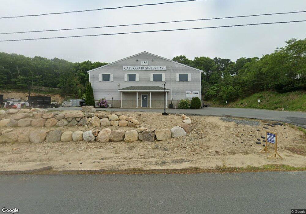
152 Cranberry Hwy Unit 2 Sagamore, MA 02561
Estimated Value: $252,443
--
Bed
--
Bath
840
Sq Ft
$301/Sq Ft
Est. Value
About This Home
This home is located at 152 Cranberry Hwy Unit 2, Sagamore, MA 02561 and is currently estimated at $252,443, approximately $300 per square foot. 152 Cranberry Hwy Unit 2 is a home located in Barnstable County with nearby schools including Bourne High School, Bridgeview Montessori School, and Waldorf School of Cape Cod.
Ownership History
Date
Name
Owned For
Owner Type
Purchase Details
Closed on
Sep 23, 2022
Sold by
Seaworthy Properties Llc
Bought by
152 Cranberry Highway Rt
Current Estimated Value
Purchase Details
Closed on
Sep 13, 2021
Sold by
Catt Nicholas M
Bought by
Seaworthy Properties Llc
Purchase Details
Closed on
Aug 23, 2019
Sold by
Michael T Fraser Ft and Fraser
Bought by
Catt Nicholas M
Home Financials for this Owner
Home Financials are based on the most recent Mortgage that was taken out on this home.
Original Mortgage
$74,000
Interest Rate
3.7%
Mortgage Type
New Conventional
Purchase Details
Closed on
Jul 24, 2017
Sold by
Fraser Michael T and Fraser Liesl E
Bought by
Michael T Fraser Ft and Fraser
Create a Home Valuation Report for This Property
The Home Valuation Report is an in-depth analysis detailing your home's value as well as a comparison with similar homes in the area
Home Values in the Area
Average Home Value in this Area
Purchase History
| Date | Buyer | Sale Price | Title Company |
|---|---|---|---|
| 152 Cranberry Highway Rt | -- | None Available | |
| 152 Cranberry Highway Rt | -- | None Available | |
| Seaworthy Properties Llc | $195,000 | None Available | |
| Seaworthy Properties Llc | $195,000 | None Available | |
| Catt Nicholas M | $160,000 | -- | |
| Catt Nicholas M | $160,000 | -- | |
| Michael T Fraser Ft | -- | -- | |
| Michael T Fraser Ft | -- | -- | |
| Fraser Michael T | -- | -- | |
| Fraser Michael T | -- | -- |
Source: Public Records
Mortgage History
| Date | Status | Borrower | Loan Amount |
|---|---|---|---|
| Previous Owner | Catt Nicholas M | $74,000 |
Source: Public Records
Tax History Compared to Growth
Tax History
| Year | Tax Paid | Tax Assessment Tax Assessment Total Assessment is a certain percentage of the fair market value that is determined by local assessors to be the total taxable value of land and additions on the property. | Land | Improvement |
|---|---|---|---|---|
| 2025 | $1,455 | $186,300 | $0 | $186,300 |
| 2024 | $1,423 | $177,400 | $0 | $177,400 |
| 2023 | $1,519 | $172,400 | $0 | $172,400 |
| 2022 | $1,528 | $151,400 | $0 | $151,400 |
| 2021 | $1,527 | $141,800 | $0 | $141,800 |
| 2020 | $1,516 | $141,200 | $0 | $141,200 |
| 2019 | $1,434 | $136,400 | $0 | $136,400 |
| 2018 | $1,384 | $131,300 | $0 | $131,300 |
| 2017 | $1,205 | $117,000 | $0 | $117,000 |
| 2016 | $1,189 | $117,000 | $0 | $117,000 |
| 2015 | $970 | $96,300 | $0 | $96,300 |
Source: Public Records
Map
Nearby Homes
- 51 Commonwealth Ave
- 51 Commonwealth Ave
- 33 Buzzards Bay Ave
- 6 Louis Ave
- 15 Route 6a
- 5 Candlewood Dr
- 4 Fieldwood Dr
- 4 Bittersweet Ln Unit 4
- 2 Dogwood Rd Unit 2
- 2 Dogwood Rd
- 18 Ocean Pines Dr Unit A
- 71 Tupper Rd
- 27 Moody Dr
- 150 Herring Pond Rd
- 311 Phillips Rd
- 6 Dexter Ave
- 0 State Rd
- 133 Phillips Rd
- 67 Phillips Rd
- 67 Phillips Rd
- 152 Cranberry Hwy Unit 3
- 152 Cranberry Hwy Unit 4
- 152 Cranberry Hwy Unit 1
- 152 Cranberry Hwy
- 152 Cranberry Hwy Unit 2
- 152 Cranberry Hwy
- 152 Cranberry Hwy Unit 3
- 152 Cranberry Hwy Unit 7
- 152 Cranberry Hwy Unit 5
- 152 Cranberry Hwy Unit 1
- 152 Cranberry Hwy Unit 6
- 152 Cranberry Hwy Unit 4
- 152 Cranberry Hwy Unit 8
- 152 Cranberry Hwy (Yearly Lease)
- 1 Bluff Rd
- 1 Bluff Rd
- 154 Cranberry Hwy
- 3 Desmond Rd
- 155 Cranberry Hwy
- 5 Desmond Rd