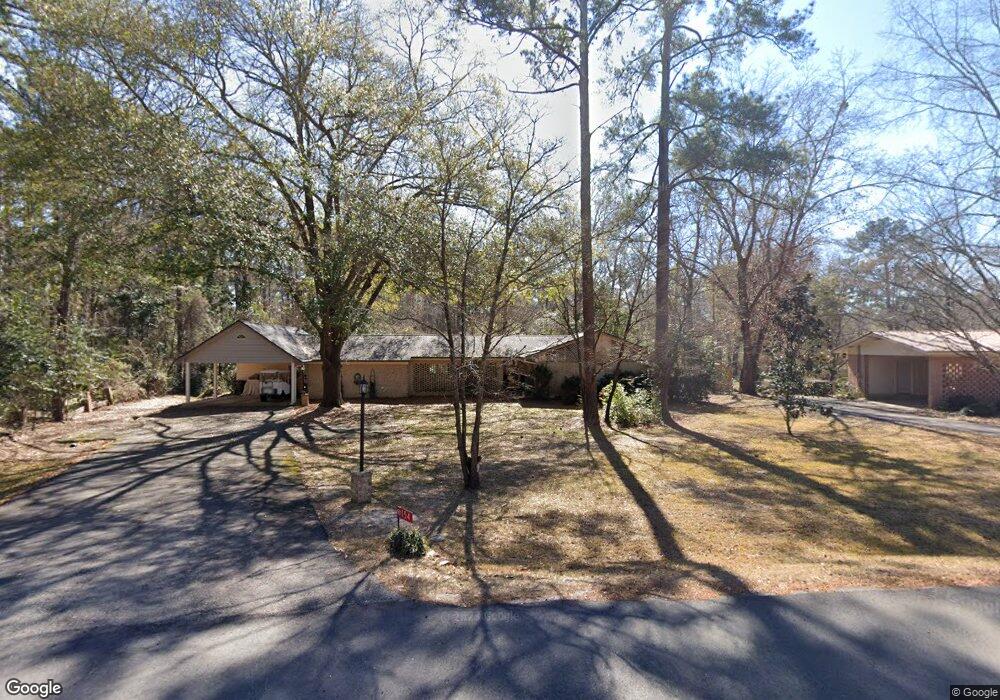
152 Crest Dr Cochran, GA 31014
Estimated Value: $170,831 - $191,000
3
Beds
2
Baths
1,441
Sq Ft
$123/Sq Ft
Est. Value
About This Home
This home is located at 152 Crest Dr, Cochran, GA 31014 and is currently estimated at $177,458, approximately $123 per square foot. 152 Crest Dr is a home located in Bleckley County with nearby schools including Bleckley County Primary School, Bleckley County Elementary School, and Bleckley Middle School.
Ownership History
Date
Name
Owned For
Owner Type
Purchase Details
Closed on
Jul 26, 2024
Sold by
Butler Sherri A
Bought by
Barnett Gary and Butler Sherri A
Current Estimated Value
Purchase Details
Closed on
Aug 18, 2022
Sold by
Butler Michael B
Bought by
Butler Sherri A
Purchase Details
Closed on
Dec 16, 2020
Sold by
Barnett Billie Ann
Bought by
Butler Sherri H and Butler Michael B
Purchase Details
Closed on
Dec 18, 1990
Sold by
Willingham Billy F
Bought by
Barnett Billie Ann
Purchase Details
Closed on
Jul 6, 1967
Bought by
Willingham Billy F
Create a Home Valuation Report for This Property
The Home Valuation Report is an in-depth analysis detailing your home's value as well as a comparison with similar homes in the area
Home Values in the Area
Average Home Value in this Area
Purchase History
| Date | Buyer | Sale Price | Title Company |
|---|---|---|---|
| Barnett Gary | -- | -- | |
| Butler Sherri A | $138,000 | -- | |
| Butler Sherri H | -- | -- | |
| Barnett Billie Ann | -- | -- | |
| Willingham Billy F | -- | -- |
Source: Public Records
Tax History
| Year | Tax Paid | Tax Assessment Tax Assessment Total Assessment is a certain percentage of the fair market value that is determined by local assessors to be the total taxable value of land and additions on the property. | Land | Improvement |
|---|---|---|---|---|
| 2025 | $1,668 | $64,512 | $2,440 | $62,072 |
| 2024 | $1,672 | $64,512 | $2,440 | $62,072 |
| 2023 | $1,735 | $64,512 | $2,440 | $62,072 |
| 2022 | $1,455 | $55,484 | $2,440 | $53,044 |
| 2021 | $1,197 | $43,124 | $2,440 | $40,684 |
| 2020 | $1,197 | $43,124 | $2,440 | $40,684 |
| 2019 | $1,068 | $38,600 | $6,000 | $32,600 |
| 2018 | $1,135 | $38,600 | $6,000 | $32,600 |
| 2017 | $1,076 | $38,600 | $6,000 | $32,600 |
| 2016 | $1,077 | $38,600 | $6,000 | $32,600 |
| 2015 | -- | $38,600 | $6,000 | $32,600 |
| 2014 | -- | $38,600 | $6,000 | $32,600 |
| 2013 | -- | $38,600 | $6,000 | $32,600 |
Source: Public Records
Map
Nearby Homes
- 260 Ann St
- 264 Ann St
- 188 E Lewis St
- 0 Wood Oak Cir Unit 233873
- 0 Wood Oak Cir Unit 9278951
- 175 Wood Oak Cir
- 288 Frank Cook Rd
- 216 E Peter St
- 238 Wood Oak Cir
- 132 Mcvay Dr
- 173 Berkley Rd
- 113 Taylor Dr
- 0 Lake Linda Estates Unit 261702
- 7 Evergreen Dr
- 119 Moll Dr
- 0 Tiffany Dr Unit 10664262
- 104 S 4th St
- 116 W Lewis St
- 0 Willow Creek Run
- RV Park Mac Thompson Rd
Your Personal Tour Guide
Ask me questions while you tour the home.