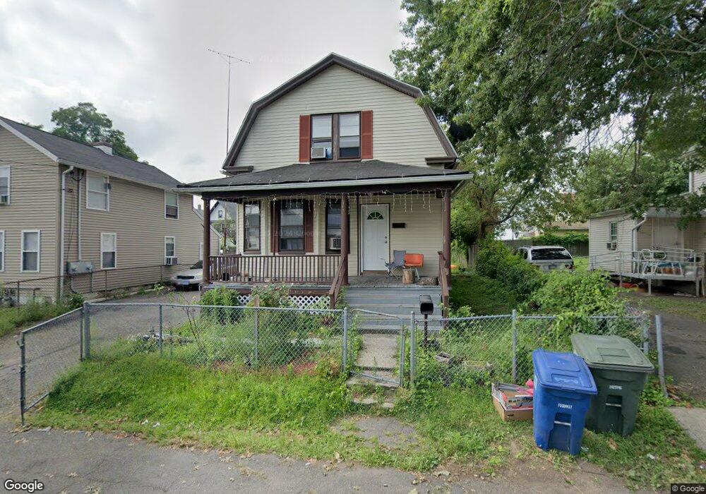
152 Dekalb Ave Bridgeport, CT 06607
East End NeighborhoodEstimated Value: $212,000 - $345,000
3
Beds
1
Bath
1,163
Sq Ft
$254/Sq Ft
Est. Value
About This Home
This home is located at 152 Dekalb Ave, Bridgeport, CT 06607 and is currently estimated at $294,846, approximately $253 per square foot. 152 Dekalb Ave is a home located in Fairfield County with nearby schools including Dunbar School, Harding High School, and New Beginnings Family Academy.
Ownership History
Date
Name
Owned For
Owner Type
Purchase Details
Closed on
Jul 31, 1998
Sold by
First Union Natl Bk
Bought by
Guzman Josefa A and Guzman Francisco F
Current Estimated Value
Purchase Details
Closed on
Aug 30, 1994
Sold by
Hancock James R and Hancock Arlene
Bought by
Tucker Jean J
Home Financials for this Owner
Home Financials are based on the most recent Mortgage that was taken out on this home.
Original Mortgage
$44,000
Interest Rate
8.65%
Mortgage Type
Purchase Money Mortgage
Create a Home Valuation Report for This Property
The Home Valuation Report is an in-depth analysis detailing your home's value as well as a comparison with similar homes in the area
Home Values in the Area
Average Home Value in this Area
Purchase History
| Date | Buyer | Sale Price | Title Company |
|---|---|---|---|
| Guzman Josefa A | $24,000 | -- | |
| Guzman Josefa A | $24,000 | -- | |
| Tucker Jean J | $55,000 | -- | |
| Tucker Jean J | $55,000 | -- |
Source: Public Records
Mortgage History
| Date | Status | Borrower | Loan Amount |
|---|---|---|---|
| Previous Owner | Tucker Jean J | $44,000 | |
| Closed | Tucker Jean J | $11,000 |
Source: Public Records
Tax History
| Year | Tax Paid | Tax Assessment Tax Assessment Total Assessment is a certain percentage of the fair market value that is determined by local assessors to be the total taxable value of land and additions on the property. | Land | Improvement |
|---|---|---|---|---|
| 2025 | $4,517 | $103,970 | $33,750 | $70,220 |
| 2024 | $4,517 | $103,970 | $33,750 | $70,220 |
| 2023 | $4,517 | $103,970 | $33,750 | $70,220 |
| 2022 | $4,517 | $103,970 | $33,750 | $70,220 |
| 2021 | $4,517 | $103,970 | $33,750 | $70,220 |
| 2020 | $4,565 | $84,550 | $18,870 | $65,680 |
| 2019 | $4,565 | $84,550 | $18,870 | $65,680 |
| 2018 | $4,597 | $84,550 | $18,870 | $65,680 |
| 2017 | $4,597 | $84,550 | $18,870 | $65,680 |
| 2016 | $4,597 | $84,550 | $18,870 | $65,680 |
| 2015 | $4,942 | $117,110 | $32,350 | $84,760 |
| 2014 | $4,942 | $117,110 | $32,350 | $84,760 |
Source: Public Records
Map
Nearby Homes
- 194 Adams St
- 231 Deforest Ave
- 334-336 Seaview Ave
- 219 Adams St
- 376 Seaview Ave
- 800 Seaview Ave Unit 760-4
- 800 Seaview Ave Unit 770-5
- 800 Seaview Ave Unit 800-1
- 73 Orange St
- 102 Carroll Ave
- 98-100 Carroll Ave
- 93 Clifford St
- 643 Newfield Ave Unit 645
- 40-42 5th St
- 306 Carroll Ave
- 384 Connecticut Ave Unit 386
- 363 Carroll Ave Unit 365
- 179 4th St
- 1440 Stratford Ave
- 221 Bunnell St
- 160 Dekalb Ave
- 160 Dekalb Ave Unit 2
- 160 Dekalb Ave Unit 1
- 132 Dekalb Ave
- 172 Dekalb Ave
- 358 Seaview Ave
- 141 Dekalb Ave
- 159 Dekalb Ave
- 135 Dekalb Ave
- 382 Seaview Ave
- 378 Seaview Ave Unit 1st.
- 378 Seaview Ave
- 182 Dekalb Ave
- 370 Seaview Ave Unit Seaview ave
- 370 Seaview Ave Unit 370
- 376 Seaview Ave Unit 2nd.
- 131 Dekalb Ave
- 131 Dekalb Ave Unit Left
- 131-135 Dekalb Ave
- 179 Dekalb Ave
Your Personal Tour Guide
Ask me questions while you tour the home.