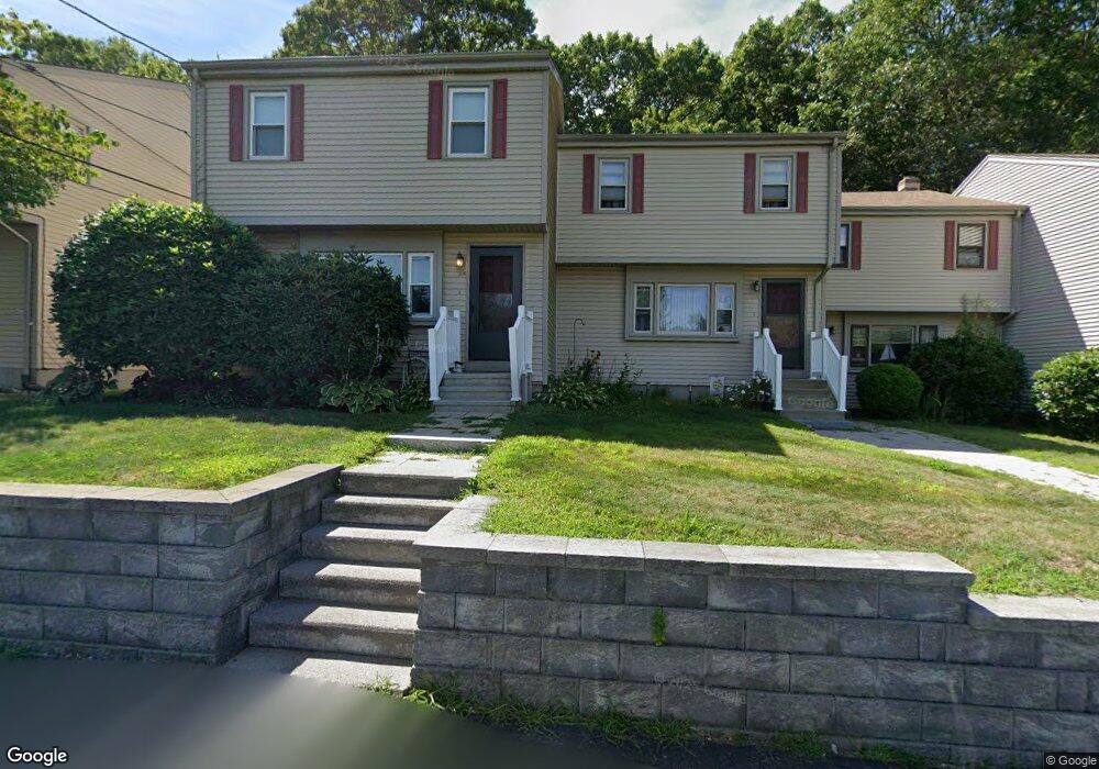
152 E Bacon St Unit C4 Plainville, MA 02762
Estimated Value: $363,000 - $460,000
2
Beds
2
Baths
1,080
Sq Ft
$365/Sq Ft
Est. Value
About This Home
This home is located at 152 E Bacon St Unit C4, Plainville, MA 02762 and is currently estimated at $394,554, approximately $365 per square foot. 152 E Bacon St Unit C4 is a home located in Norfolk County with nearby schools including Anna Ware Jackson School, Beatrice H. Wood Elementary School, and Discovery Daycare Center.
Ownership History
Date
Name
Owned For
Owner Type
Purchase Details
Closed on
Jun 29, 1993
Sold by
Feinstein Steven R
Bought by
Johnson Rodney G
Current Estimated Value
Home Financials for this Owner
Home Financials are based on the most recent Mortgage that was taken out on this home.
Original Mortgage
$63,900
Interest Rate
7.37%
Mortgage Type
Purchase Money Mortgage
Create a Home Valuation Report for This Property
The Home Valuation Report is an in-depth analysis detailing your home's value as well as a comparison with similar homes in the area
Home Values in the Area
Average Home Value in this Area
Purchase History
| Date | Buyer | Sale Price | Title Company |
|---|---|---|---|
| Johnson Rodney G | $79,900 | -- |
Source: Public Records
Mortgage History
| Date | Status | Borrower | Loan Amount |
|---|---|---|---|
| Closed | Johnson Rodney G | $63,900 |
Source: Public Records
Tax History
| Year | Tax Paid | Tax Assessment Tax Assessment Total Assessment is a certain percentage of the fair market value that is determined by local assessors to be the total taxable value of land and additions on the property. | Land | Improvement |
|---|---|---|---|---|
| 2025 | $35 | $299,200 | $0 | $299,200 |
| 2024 | $3,286 | $273,800 | $0 | $273,800 |
| 2023 | $3,303 | $264,700 | $0 | $264,700 |
| 2022 | $3,066 | $218,500 | $0 | $218,500 |
| 2021 | $2,884 | $196,200 | $0 | $196,200 |
| 2020 | $2,805 | $190,800 | $0 | $190,800 |
| 2019 | $2,856 | $190,800 | $0 | $190,800 |
Source: Public Records
Map
Nearby Homes
- 28 Messenger St
- 11 Crestwood Ave
- 56 Parmenter Ln
- 20 South St
- Lot 5 Jeffrey Dr
- 158 Washington St
- 126 Washington St
- 130 Washington St
- 124 Washington St
- 84 Messenger St
- 31 Whiting St
- 12 Houde St
- 35-R Whiting St
- 25 Munroe Dr
- Lot 2 Jeffrey Dr
- 9 Coach Rd
- 160 Washington St Unit 22
- 57 Vine St
- 271 N Washington St
- 212 Fisher St Unit B7
- 152 E Bacon St Unit D6
- 152 E Bacon St Unit D5
- 152 E Bacon St Unit D4
- 152 E Bacon St Unit D3
- 152 E Bacon St Unit D2
- 152 E Bacon St Unit D1
- 152 E Bacon St Unit C6
- 152 E Bacon St Unit C5
- 152 E Bacon St Unit C3
- 152 E Bacon St Unit C2
- 152 E Bacon St Unit C1
- 152 E Bacon St Unit 6C
- 154 E Bacon St Unit B5
- 154 E Bacon St Unit B4
- 154 E Bacon St Unit B3
- 154 E Bacon St Unit B2
- 154 E Bacon St Unit B1
- 154 E Bacon St Unit A6
- 154 E Bacon St Unit A5
- 154 E Bacon St Unit A4
Your Personal Tour Guide
Ask me questions while you tour the home.