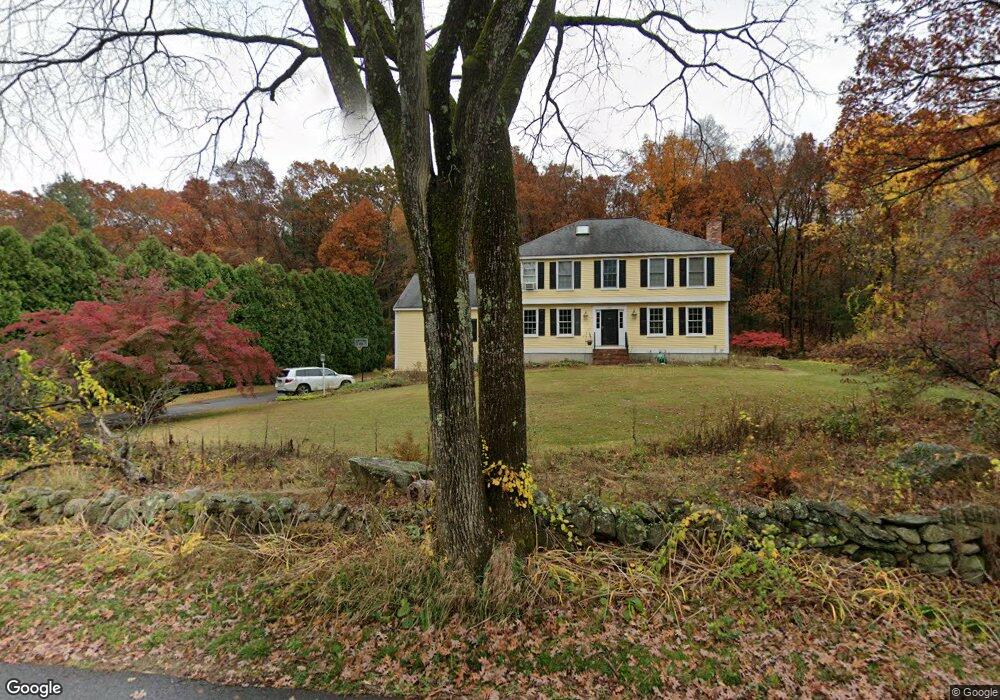
152 Flag Hill Rd Boxborough, MA 01719
Estimated Value: $1,098,479 - $1,379,000
4
Beds
3
Baths
3,504
Sq Ft
$347/Sq Ft
Est. Value
About This Home
This home is located at 152 Flag Hill Rd, Boxborough, MA 01719 and is currently estimated at $1,214,620, approximately $346 per square foot. 152 Flag Hill Rd is a home located in Middlesex County with nearby schools including Acton-Boxborough Regional High School.
Ownership History
Date
Name
Owned For
Owner Type
Purchase Details
Closed on
Jul 28, 2005
Sold by
Mcadams Kevin C and Mcadams Marjorie I
Bought by
Connolly James B and Keating-Connolly Janet L
Current Estimated Value
Home Financials for this Owner
Home Financials are based on the most recent Mortgage that was taken out on this home.
Original Mortgage
$359,650
Outstanding Balance
$186,670
Interest Rate
5.67%
Mortgage Type
Purchase Money Mortgage
Estimated Equity
$1,027,950
Purchase Details
Closed on
Aug 24, 1988
Sold by
H & W Inc
Bought by
Mcadams Marjorie I
Home Financials for this Owner
Home Financials are based on the most recent Mortgage that was taken out on this home.
Original Mortgage
$150,000
Interest Rate
10.36%
Mortgage Type
Purchase Money Mortgage
Create a Home Valuation Report for This Property
The Home Valuation Report is an in-depth analysis detailing your home's value as well as a comparison with similar homes in the area
Home Values in the Area
Average Home Value in this Area
Purchase History
| Date | Buyer | Sale Price | Title Company |
|---|---|---|---|
| Connolly James B | $718,000 | -- | |
| Mcadams Marjorie I | $392,000 | -- |
Source: Public Records
Mortgage History
| Date | Status | Borrower | Loan Amount |
|---|---|---|---|
| Open | Connolly James B | $359,650 | |
| Previous Owner | Mcadams Marjorie I | $220,000 | |
| Previous Owner | Mcadams Marjorie I | $150,000 | |
| Previous Owner | Mcadams Marjorie I | $150,000 |
Source: Public Records
Tax History
| Year | Tax Paid | Tax Assessment Tax Assessment Total Assessment is a certain percentage of the fair market value that is determined by local assessors to be the total taxable value of land and additions on the property. | Land | Improvement |
|---|---|---|---|---|
| 2025 | $16,274 | $1,074,900 | $298,700 | $776,200 |
| 2024 | $14,699 | $980,600 | $287,100 | $693,500 |
| 2023 | $14,167 | $912,800 | $258,600 | $654,200 |
| 2022 | $13,218 | $758,800 | $258,600 | $500,200 |
| 2020 | $11,911 | $712,400 | $258,600 | $453,800 |
| 2019 | $11,698 | $712,400 | $258,600 | $453,800 |
| 2018 | $6,250 | $674,000 | $246,500 | $427,500 |
| 2017 | $11,105 | $660,600 | $246,500 | $414,100 |
| 2016 | $10,541 | $644,300 | $246,500 | $397,800 |
| 2015 | $10,331 | $620,500 | $203,100 | $417,400 |
| 2014 | $10,246 | $579,200 | $197,200 | $382,000 |
Source: Public Records
Map
Nearby Homes
- 40 Fifers Ln
- 92 Willow St Unit 3
- 92 Willow St Unit 2
- 90 Willow St Unit 1
- 280 W Acton Rd
- 77 Wheeler Dr Unit 77
- 20 Lyons Ln Unit 20
- 247 W Acton Rd
- 235 Arlington St
- 39 Ridgewood Dr Unit 39
- 17 W View Ln Unit 17
- 6 Beacon Ct
- 4 Littlefield Rd
- 20 Joseph Reed Ln
- 79 Old Orchard Ln
- 30-6 Taylor Rd
- 5 Perkins Ln
- 12 S Acton Rd
- 184 Main St Unit 3
- 246 Main St Unit 2
- 152 Flagg Hill Rd
- 140 Flag Hill Rd
- 158 Flag Hill Rd
- 130 Flag Hill Rd
- 178 Flagg Hill Rd
- 178 Flag Hill Rd
- 151 Flag Hill Rd
- 175 Flagg Hill Rd
- 135 Flagg Hill Rd
- 135 Flagg Hill Rd Unit 135
- 135 Flag Hill Rd
- 185 Flagg Hill Rd
- 119 Flag Hill Rd
- 114 Flag Hill Rd
- 164 Flagg Hill Rd
- 164 Flagg Hill Rd
- 96 Flagg Hill Rd
- 105 Flag Hill Rd
- 205 Flagg Hill Rd
- 94 Flagg Hill Rd
Your Personal Tour Guide
Ask me questions while you tour the home.