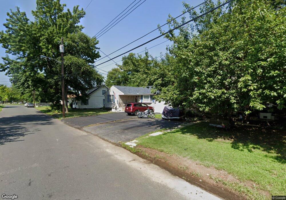
152 Furman Blvd Keyport, NJ 07735
Estimated Value: $463,352 - $513,000
3
Beds
2
Baths
1,116
Sq Ft
$446/Sq Ft
Est. Value
About This Home
This home is located at 152 Furman Blvd, Keyport, NJ 07735 and is currently estimated at $498,088, approximately $446 per square foot. 152 Furman Blvd is a home located in Middlesex County with nearby schools including Old Bridge High School, Icob Academy, and St. Joseph Elementary School.
Ownership History
Date
Name
Owned For
Owner Type
Purchase Details
Closed on
Aug 24, 2020
Sold by
Randazzo Kathleen and Schwartz Andrew L
Bought by
Ricci Michael and Ricci Caitlyn
Current Estimated Value
Home Financials for this Owner
Home Financials are based on the most recent Mortgage that was taken out on this home.
Original Mortgage
$265,000
Outstanding Balance
$232,929
Interest Rate
2.9%
Mortgage Type
New Conventional
Estimated Equity
$265,159
Purchase Details
Closed on
Apr 20, 2016
Sold by
Randazzo Kathleen and Schwartz Andrew L
Bought by
Randazzo Kathleen and Schwartz Andrew L
Home Financials for this Owner
Home Financials are based on the most recent Mortgage that was taken out on this home.
Original Mortgage
$201,200
Interest Rate
3.75%
Mortgage Type
FHA
Purchase Details
Closed on
Jul 22, 2003
Sold by
Schwartz Catherine Randazzo
Bought by
Randazzo Catherine and Schwartz Andrew L
Create a Home Valuation Report for This Property
The Home Valuation Report is an in-depth analysis detailing your home's value as well as a comparison with similar homes in the area
Home Values in the Area
Average Home Value in this Area
Purchase History
| Date | Buyer | Sale Price | Title Company |
|---|---|---|---|
| Ricci Michael | $365,000 | Town Title Agency | |
| Ricci Michael | $365,000 | First American Title | |
| Randazzo Kathleen | -- | Acquired Title | |
| Randazzo Catherine | -- | -- |
Source: Public Records
Mortgage History
| Date | Status | Borrower | Loan Amount |
|---|---|---|---|
| Open | Ricci Michael | $265,000 | |
| Closed | Ricci Michael | $265,000 | |
| Previous Owner | Randazzo Kathleen | $201,200 |
Source: Public Records
Tax History Compared to Growth
Tax History
| Year | Tax Paid | Tax Assessment Tax Assessment Total Assessment is a certain percentage of the fair market value that is determined by local assessors to be the total taxable value of land and additions on the property. | Land | Improvement |
|---|---|---|---|---|
| 2025 | $6,577 | $114,800 | $42,000 | $72,800 |
| 2024 | $6,307 | $114,800 | $42,000 | $72,800 |
| 2023 | $6,307 | $114,800 | $42,000 | $72,800 |
| 2022 | $6,137 | $114,800 | $42,000 | $72,800 |
| 2021 | $4,428 | $114,800 | $42,000 | $72,800 |
| 2020 | $5,666 | $109,300 | $42,000 | $67,300 |
| 2019 | $5,575 | $109,300 | $42,000 | $67,300 |
| 2018 | $5,513 | $109,300 | $42,000 | $67,300 |
| 2017 | $5,341 | $109,300 | $42,000 | $67,300 |
| 2016 | $5,235 | $109,300 | $42,000 | $67,300 |
| 2015 | $5,144 | $109,300 | $42,000 | $67,300 |
| 2014 | $5,081 | $109,300 | $42,000 | $67,300 |
Source: Public Records
Map
Nearby Homes
- 125 Raritan Blvd
- 103 Furman Blvd
- 270 Greenwood Dr
- 106 Boulevard W
- 363 Ocean Blvd
- 107 Boulevard W
- 42 Boulevard E
- 136 Hilltop Blvd
- 65 Boulevard E
- 112 Lcpl Phillip E Frank Way
- 38 Lcpl Phillip E Frank Way Unit 38
- 452 Raritan Blvd
- 281 Prospect Ave
- 250 Brookside Ave
- 940 Grove Ave
- 615 Greenwood Ave
- 22 Stemler Dr
- 21 Stemler Dr
- 146 Orchard Ave
- 235 Garfield Ave
- 154 Furman Blvd
- 150 Furman Blvd
- 156 Furman Blvd
- 11 Boulevard E
- 149 Furman Blvd
- 13 Boulevard E
- 158 Furman Blvd
- 9 Boulevard E
- 86 Furman Blvd
- 82 Furman Blvd
- 148 Furman Blvd
- 15 Boulevard E
- 15 Boulevard S
- 15 Boulevard S
- 79 Furman Blvd
- 88 Furman Blvd
- 162 Furman Blvd
- 90 Furman Blvd
- 7 Ocean Blvd
- 146 Furman Blvd