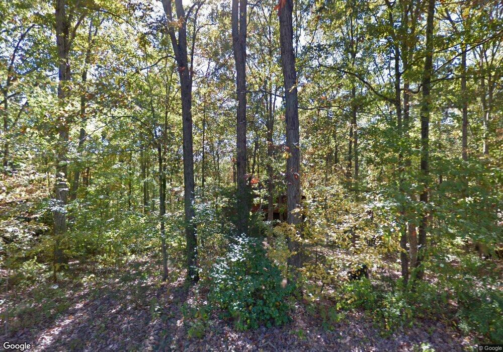
152 Gibbons Place Athens, GA 30605
Estimated Value: $303,023 - $371,000
--
Bed
--
Bath
2,182
Sq Ft
$157/Sq Ft
Est. Value
About This Home
This home is located at 152 Gibbons Place, Athens, GA 30605 and is currently estimated at $342,006, approximately $156 per square foot. 152 Gibbons Place is a home located in Clarke County with nearby schools including Barnett Shoals Elementary School, Hilsman Middle School, and Cedar Shoals High School.
Ownership History
Date
Name
Owned For
Owner Type
Purchase Details
Closed on
May 29, 2024
Sold by
Crane George C
Bought by
152 Trees Llc
Current Estimated Value
Purchase Details
Closed on
Nov 5, 2020
Sold by
Lorenzini Dino
Bought by
Crane George C
Purchase Details
Closed on
May 6, 1992
Sold by
Middleton Melissa M and Moog Arthur E
Bought by
Lorenzini Dino
Purchase Details
Closed on
Feb 22, 1991
Sold by
Middleton Melissa M
Bought by
Middleton Melissa M and Moog Arthur E
Purchase Details
Closed on
Jan 3, 1991
Sold by
Middleton Kent R and Middleton Melissa M
Bought by
Middleton Melissa M
Create a Home Valuation Report for This Property
The Home Valuation Report is an in-depth analysis detailing your home's value as well as a comparison with similar homes in the area
Home Values in the Area
Average Home Value in this Area
Purchase History
| Date | Buyer | Sale Price | Title Company |
|---|---|---|---|
| 152 Trees Llc | -- | -- | |
| Crane George C | $97,500 | -- | |
| Lorenzini Dino | $110,000 | -- | |
| Middleton Melissa M | -- | -- | |
| Middleton Melissa M | -- | -- |
Source: Public Records
Tax History Compared to Growth
Tax History
| Year | Tax Paid | Tax Assessment Tax Assessment Total Assessment is a certain percentage of the fair market value that is determined by local assessors to be the total taxable value of land and additions on the property. | Land | Improvement |
|---|---|---|---|---|
| 2025 | $3,199 | $103,040 | $14,000 | $89,040 |
| 2024 | $3,199 | $120,657 | $14,000 | $106,657 |
| 2023 | $2,817 | $90,152 | $14,000 | $76,152 |
| 2022 | $2,429 | $76,135 | $13,000 | $63,135 |
| 2021 | $1,314 | $58,553 | $13,000 | $45,553 |
| 2020 | $1,841 | $54,621 | $13,000 | $41,621 |
| 2019 | $1,854 | $54,621 | $13,000 | $41,621 |
| 2018 | $1,986 | $54,621 | $13,000 | $41,621 |
| 2017 | $1,862 | $54,841 | $13,000 | $41,841 |
| 2016 | $1,851 | $54,508 | $13,000 | $41,508 |
| 2015 | $1,848 | $54,359 | $13,000 | $41,359 |
| 2014 | $1,872 | $54,986 | $13,000 | $41,986 |
Source: Public Records
Map
Nearby Homes
- 199 Gibbons Place
- 122 Gibbons Place
- 425 Snapfinger Dr
- 157 Gibbons Place
- 175 Gibbons Place
- 435 Snapfinger Dr
- 117 Gibbons Place
- 165 Gibbons Way
- 195 Gibbons Way
- 195 Gibbons Way
- 430 Snapfinger Dr
- 559 Snapfinger Dr
- 155 Gibbons Way
- 112 Snapfinger Way
- 145 Gibbons Way
- 190 Gibbons Way
- 465 Snapfinger Dr
- 170 Gibbons Way
- 103 Snapfinger Way
- 400 Snapfinger Dr
