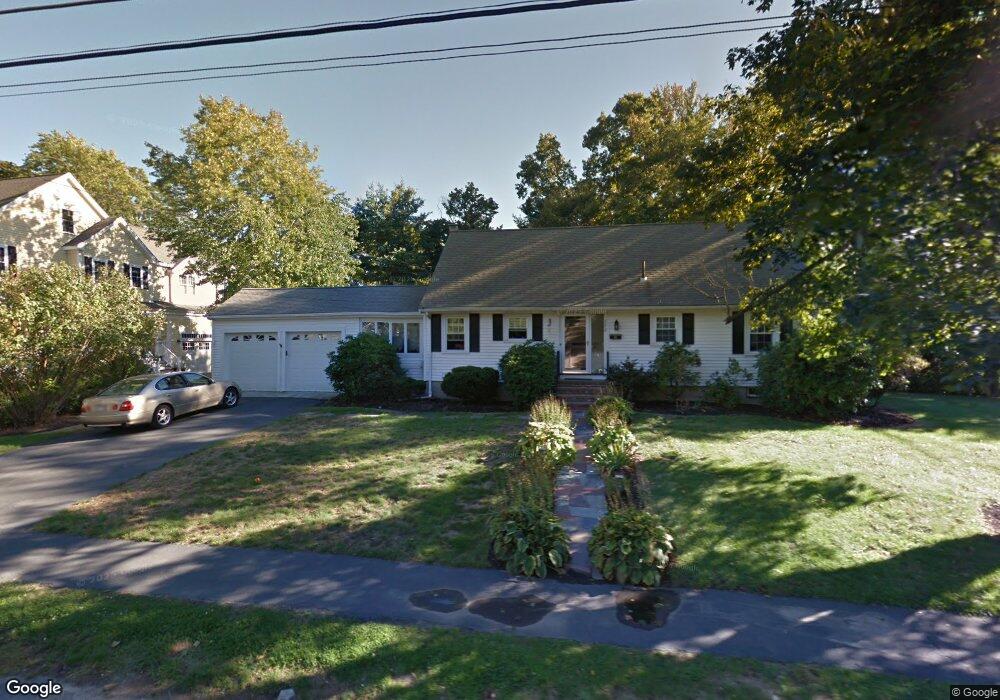
152 Highgate St Needham, MA 02492
Estimated Value: $1,326,000 - $1,402,000
4
Beds
3
Baths
1,176
Sq Ft
$1,170/Sq Ft
Est. Value
About This Home
This home is located at 152 Highgate St, Needham, MA 02492 and is currently estimated at $1,376,206, approximately $1,170 per square foot. 152 Highgate St is a home located in Norfolk County with nearby schools including Broadmeadow Elementary School, High Rock Middle School, and Pollard Middle School.
Ownership History
Date
Name
Owned For
Owner Type
Purchase Details
Closed on
Feb 29, 2024
Sold by
Yeroshalmi Dalida
Bought by
Simani Yeroshalmi Ft and Simani
Current Estimated Value
Purchase Details
Closed on
Aug 31, 1994
Sold by
Tyler Helen W
Bought by
Yeroshalmi Dalida
Home Financials for this Owner
Home Financials are based on the most recent Mortgage that was taken out on this home.
Original Mortgage
$130,000
Interest Rate
8.44%
Mortgage Type
Purchase Money Mortgage
Create a Home Valuation Report for This Property
The Home Valuation Report is an in-depth analysis detailing your home's value as well as a comparison with similar homes in the area
Home Values in the Area
Average Home Value in this Area
Purchase History
| Date | Buyer | Sale Price | Title Company |
|---|---|---|---|
| Simani Yeroshalmi Ft | -- | None Available | |
| Simani Yeroshalmi Ft | -- | None Available | |
| Yeroshalmi Dalida | $272,000 | -- | |
| Yeroshalmi Dalida | $272,000 | -- |
Source: Public Records
Mortgage History
| Date | Status | Borrower | Loan Amount |
|---|---|---|---|
| Previous Owner | Yeroshalmi Dalida | $104,500 | |
| Previous Owner | Yeroshalmi Dalida | $130,000 | |
| Previous Owner | Yeroshalmi Dalida | $65,000 |
Source: Public Records
Tax History
| Year | Tax Paid | Tax Assessment Tax Assessment Total Assessment is a certain percentage of the fair market value that is determined by local assessors to be the total taxable value of land and additions on the property. | Land | Improvement |
|---|---|---|---|---|
| 2025 | $11,624 | $1,096,600 | $811,300 | $285,300 |
| 2024 | $10,996 | $878,300 | $596,900 | $281,400 |
| 2023 | $11,140 | $854,300 | $596,900 | $257,400 |
| 2022 | $10,414 | $778,900 | $529,100 | $249,800 |
| 2021 | $10,149 | $778,900 | $529,100 | $249,800 |
| 2020 | $9,672 | $774,400 | $529,100 | $245,300 |
| 2019 | $8,982 | $724,900 | $481,700 | $243,200 |
| 2018 | $8,612 | $724,900 | $481,700 | $243,200 |
| 2017 | $8,248 | $693,700 | $481,700 | $212,000 |
| 2016 | $8,005 | $693,700 | $481,700 | $212,000 |
| 2015 | $7,832 | $693,700 | $481,700 | $212,000 |
| 2014 | $7,659 | $658,000 | $402,700 | $255,300 |
Source: Public Records
Map
Nearby Homes
- 168 Richdale Rd
- 26 Pinewood Rd
- 40 Otis St Unit L
- 883 Greendale Ave
- 638 Webster St
- 638 Webster St Unit 638
- 26 Gordon Rd
- 40 High St
- 143 Hunting Rd
- 19 Highland Ct Unit 19
- 7 West St
- 1011 Webster St
- 68 Pleasant St Unit 68
- 233 Warren St
- 5 Hazel Ln
- 97 Great Plain Ave
- 108 Woodbine Cir
- 193 Garden St
- 447 Hillside Ave
- 1202 Greendale Ave Unit 133
Your Personal Tour Guide
Ask me questions while you tour the home.