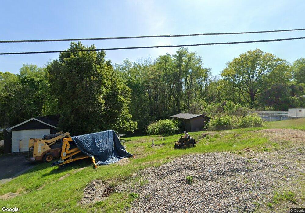
152 Keeny Row New Salem, PA 15468
Luzerne Township NeighborhoodEstimated Value: $46,000 - $94,000
2
Beds
2
Baths
960
Sq Ft
$76/Sq Ft
Est. Value
About This Home
This home is located at 152 Keeny Row, New Salem, PA 15468 and is currently estimated at $73,024, approximately $76 per square foot. 152 Keeny Row is a home located in Fayette County with nearby schools including Brownsville Area Elementary School, Brownsville Area Middle School, and Brownsville Area High School.
Ownership History
Date
Name
Owned For
Owner Type
Purchase Details
Closed on
Jan 31, 2023
Sold by
Bl Investments Real Estate Llc
Bought by
Ondra Marcus
Current Estimated Value
Purchase Details
Closed on
Aug 12, 2019
Sold by
Porterfield Dolores and Porterfield Harold William
Bought by
Bl Investments Real Estate Llc
Purchase Details
Closed on
Jun 28, 2019
Sold by
Griest Andrea L
Bought by
Porterfield Dolores and Porterfield Harold William
Purchase Details
Closed on
Jan 1, 1968
Bought by
Porterfield Dolores and Porterfield Harold W
Create a Home Valuation Report for This Property
The Home Valuation Report is an in-depth analysis detailing your home's value as well as a comparison with similar homes in the area
Home Values in the Area
Average Home Value in this Area
Purchase History
| Date | Buyer | Sale Price | Title Company |
|---|---|---|---|
| Ondra Marcus | -- | -- | |
| Bl Investments Real Estate Llc | $8,500 | None Available | |
| Porterfield Dolores | -- | None Available | |
| Porterfield Dolores | -- | -- |
Source: Public Records
Tax History Compared to Growth
Tax History
| Year | Tax Paid | Tax Assessment Tax Assessment Total Assessment is a certain percentage of the fair market value that is determined by local assessors to be the total taxable value of land and additions on the property. | Land | Improvement |
|---|---|---|---|---|
| 2025 | $140 | $4,965 | $3,660 | $1,305 |
| 2024 | $140 | $4,965 | $3,660 | $1,305 |
| 2023 | $280 | $4,965 | $3,660 | $1,305 |
| 2022 | $457 | $8,095 | $3,660 | $4,435 |
| 2021 | $443 | $8,095 | $3,660 | $4,435 |
| 2020 | $443 | $8,095 | $3,660 | $4,435 |
| 2019 | $419 | $8,095 | $3,660 | $4,435 |
| 2018 | $419 | $8,095 | $3,660 | $4,435 |
| 2017 | $409 | $8,095 | $3,660 | $4,435 |
| 2016 | -- | $8,095 | $3,660 | $4,435 |
| 2015 | -- | $8,095 | $3,660 | $4,435 |
| 2014 | -- | $16,190 | $7,320 | $8,870 |
Source: Public Records
Map
Nearby Homes
- 198 Keeny Row
- 204 Tower Hill Rd
- 815 Green St
- 813 Green St
- 914 Coal St
- 916 Coal St
- 0 Dearth St
- 0 5th St
- 26 Fairgarden St
- 0 Holly Alley Unit 1724982
- 37 Redstone St
- SR166 Thompson 1 Rd
- 9 Kennedy St
- 2013 East St
- 2014 5th St
- 0 Steel St Unit 1719984
- 309 Shagbark Rd
- 12 Circle St
- 300 Stone Church Rd
- 1486 New Salem Rd
