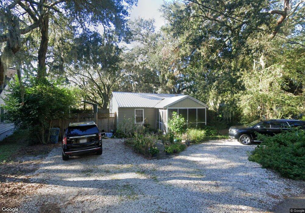
152 Mcintosh Ave St. Simons Island, GA 31522
Estimated Value: $516,000 - $634,000
2
Beds
1
Bath
896
Sq Ft
$640/Sq Ft
Est. Value
About This Home
This home is located at 152 Mcintosh Ave, St. Simons Island, GA 31522 and is currently estimated at $573,522, approximately $640 per square foot. 152 Mcintosh Ave is a home located in Glynn County with nearby schools including St. Simons Elementary School, Glynn Middle School, and Glynn Academy.
Ownership History
Date
Name
Owned For
Owner Type
Purchase Details
Closed on
May 25, 2012
Sold by
Dobson Randy L
Bought by
Liptak Mary E
Current Estimated Value
Home Financials for this Owner
Home Financials are based on the most recent Mortgage that was taken out on this home.
Original Mortgage
$119,790
Outstanding Balance
$82,919
Interest Rate
3.88%
Mortgage Type
FHA
Estimated Equity
$490,603
Purchase Details
Closed on
Jun 9, 2009
Sold by
Dobson Alyce Mellette
Bought by
Dobson Randy L
Create a Home Valuation Report for This Property
The Home Valuation Report is an in-depth analysis detailing your home's value as well as a comparison with similar homes in the area
Home Values in the Area
Average Home Value in this Area
Purchase History
| Date | Buyer | Sale Price | Title Company |
|---|---|---|---|
| Liptak Mary E | $122,000 | -- | |
| Dobson Randy L | $276,800 | -- |
Source: Public Records
Mortgage History
| Date | Status | Borrower | Loan Amount |
|---|---|---|---|
| Open | Liptak Mary E | $119,790 |
Source: Public Records
Tax History Compared to Growth
Tax History
| Year | Tax Paid | Tax Assessment Tax Assessment Total Assessment is a certain percentage of the fair market value that is determined by local assessors to be the total taxable value of land and additions on the property. | Land | Improvement |
|---|---|---|---|---|
| 2025 | $3,917 | $156,200 | $103,440 | $52,760 |
| 2024 | $3,399 | $135,520 | $82,760 | $52,760 |
| 2023 | $1,091 | $125,720 | $73,920 | $51,800 |
| 2022 | $1,502 | $81,360 | $29,560 | $51,800 |
| 2021 | $1,545 | $66,480 | $29,560 | $36,920 |
| 2020 | $1,558 | $66,480 | $29,560 | $36,920 |
| 2019 | $1,558 | $66,480 | $29,560 | $36,920 |
| 2018 | $1,558 | $66,480 | $29,560 | $36,920 |
| 2017 | $1,690 | $59,920 | $29,560 | $30,360 |
| 2016 | $1,260 | $47,280 | $29,560 | $17,720 |
| 2015 | $1,264 | $47,280 | $29,560 | $17,720 |
| 2014 | $1,264 | $47,280 | $29,560 | $17,720 |
Source: Public Records
Map
Nearby Homes
- 516 Postell Dr
- 211 Mcintosh Ave
- 104 Youngwood Dr
- 202 Vassar Point Dr
- 121 Killgriffe St
- 242 Mcintosh Ave
- 105 Ledbetter Ave
- 524 Wesley Oak Cir
- 2404 Frederica Rd
- 123 Redfern Dr
- 295 Mcintosh Ave
- 207 Military Rd
- 210 Settlers Rd
- 1704 Frederica Rd Unit 237
- 1704 Frederica Rd Unit 621
- 1704 Frederica Rd Unit 628 + 31 garage
- 1704 Frederica Rd Unit 723
- 1704 Frederica Rd Unit 635
- 1704 Frederica Rd Unit 602
- 102 Sapelo St
- 152 Mcintosh Ave
- 158 Mcintosh Ave
- 146 Mcintosh Ave
- 52 Maxwell Ave
- 51 Maxwell Ave
- 164 Mcintosh Ave
- 53 Maxwell Ave
- 50 Maxwell Ave
- 140 Mcintosh Ave
- 153 Mcintosh Ave
- 49 Maxwell Ave
- 147 Mcintosh Ave
- 159 Mcintosh Ave
- 54 Maxwell Ave
- 48 Maxwell Ave
- 170 Mcintosh Ave
- 165 Mcintosh Ave
- 139 Mcintosh Ave
- 47 Maxwell Ave
- 55 Maxwell Ave