152 Mishaum Point Rd South Dartmouth, MA 02748
Cow Yard/Nonquitt NeighborhoodEstimated Value: $2,812,877 - $3,444,000
5
Beds
4
Baths
4,540
Sq Ft
$689/Sq Ft
Est. Value
About This Home
This home is located at 152 Mishaum Point Rd, South Dartmouth, MA 02748 and is currently estimated at $3,128,439, approximately $689 per square foot. 152 Mishaum Point Rd is a home located in Bristol County with nearby schools including Dartmouth High School.
Ownership History
Date
Name
Owned For
Owner Type
Purchase Details
Closed on
Dec 29, 2009
Sold by
Mason 3Rd Jean F
Bought by
French Tr Thomas D and French Jill L
Current Estimated Value
Home Financials for this Owner
Home Financials are based on the most recent Mortgage that was taken out on this home.
Original Mortgage
$1,700,000
Outstanding Balance
$1,114,449
Interest Rate
4.92%
Mortgage Type
Purchase Money Mortgage
Estimated Equity
$2,013,990
Purchase Details
Closed on
Sep 26, 2006
Sold by
Shapleigh 3Rd Alfred Lee and Sedgwick Ellen S
Bought by
Mason Charles F and Applegate Eliza M
Home Financials for this Owner
Home Financials are based on the most recent Mortgage that was taken out on this home.
Original Mortgage
$1,142,257
Interest Rate
6.59%
Mortgage Type
Purchase Money Mortgage
Create a Home Valuation Report for This Property
The Home Valuation Report is an in-depth analysis detailing your home's value as well as a comparison with similar homes in the area
Home Values in the Area
Average Home Value in this Area
Purchase History
| Date | Buyer | Sale Price | Title Company |
|---|---|---|---|
| French Tr Thomas D | -- | -- | |
| Mason Charles F | $1,142,257 | -- | |
| Mason Charles F | -- | -- |
Source: Public Records
Mortgage History
| Date | Status | Borrower | Loan Amount |
|---|---|---|---|
| Open | Mason Charles F | $1,700,000 | |
| Previous Owner | Mason Charles F | $1,142,257 |
Source: Public Records
Tax History Compared to Growth
Tax History
| Year | Tax Paid | Tax Assessment Tax Assessment Total Assessment is a certain percentage of the fair market value that is determined by local assessors to be the total taxable value of land and additions on the property. | Land | Improvement |
|---|---|---|---|---|
| 2025 | $26,909 | $3,125,300 | $2,551,800 | $573,500 |
| 2024 | $25,382 | $2,920,800 | $2,361,800 | $559,000 |
| 2023 | $22,955 | $2,503,300 | $1,980,200 | $523,100 |
| 2022 | $23,820 | $2,406,100 | $1,980,200 | $425,900 |
| 2021 | $23,700 | $2,287,600 | $1,929,800 | $357,800 |
| 2020 | $25,156 | $2,423,500 | $2,066,400 | $357,100 |
| 2019 | $25,681 | $2,469,300 | $2,123,000 | $346,300 |
| 2018 | $25,473 | $2,444,900 | $2,123,000 | $321,900 |
| 2017 | $23,324 | $2,327,700 | $2,011,200 | $316,500 |
| 2016 | $21,632 | $2,129,100 | $1,814,600 | $314,500 |
| 2015 | $24,600 | $2,426,000 | $2,107,100 | $318,900 |
| 2014 | $22,914 | $2,244,300 | $1,931,400 | $312,900 |
Source: Public Records
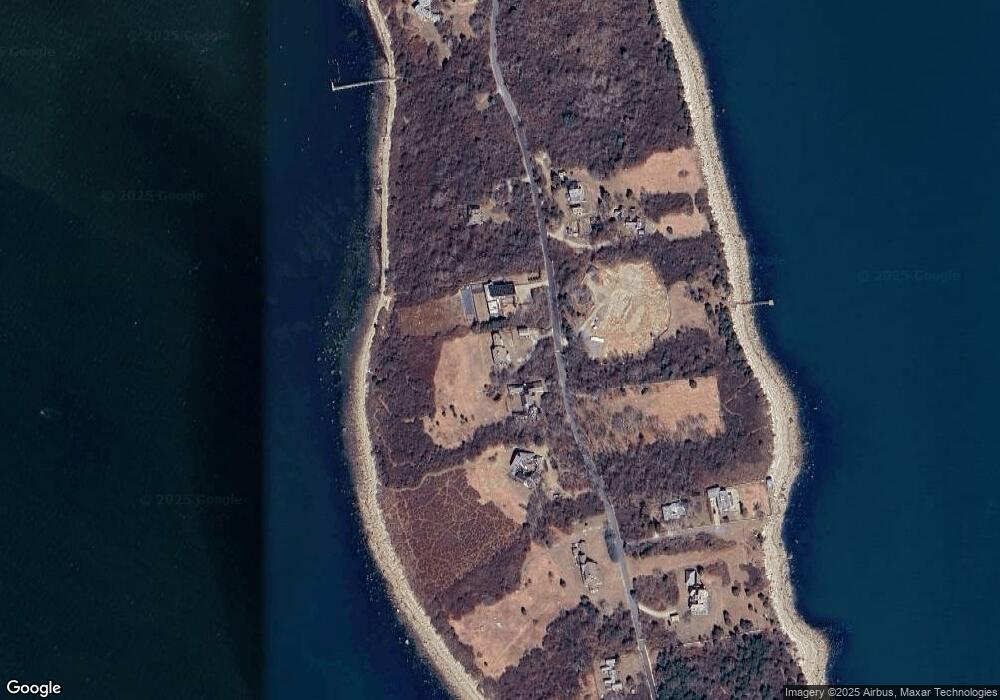
Map
Nearby Homes
- 158 Little River Rd
- 12 Meadow Shores Rd
- 24 Eagle Dr
- 62 Hetty Green St Unit 62
- 48 N Shore Dr Unit 3&7
- 48 N Shore Dr Unit 8
- 482 Smith Neck Rd
- Lot 1 Rafael Rd
- 24 White Alder Way
- 105 Rock Odundee Rd
- 61 Pardon Hill Rd
- Lot 2 Horseneck Rd
- 738 Smith Neck Rd
- Lot 2E Horseneck Rd
- 238-242 E Beach Rd
- 248 Bakerville Rd
- 23 High St
- 1150 Russells Mills Rd
- 40 School St
- 0 Stoneledge Rd
- 148 Mishaum Point Rd
- 156 Mishaum Point Rd
- 147 Mishaum Point Rd
- 160 Mishaum Point Rd
- 155 Mishaum Point Rd
- 144 Mishaum Point Rd
- 163 Mishaum Point Rd
- 164 Mishaum Point Rd
- 165 Mishaum Point Rd
- 165 Mishaum Point Rd Unit 1
- 169 Mishaum Point Rd
- 128 Mishaum Point Rd
- 172 Mishaum Point Rd
- 124 Mishaum Point Rd
- 123 Mishaum Point Rd
- 119 Mishaum Point Rd
- 116 Mishaum Point Rd
- 185 Mishaum Point Rd
- 188 Mishaum Point Rd
- 115 Mishaum Point Rd