152 Newbridge Rd Sudbury, MA 01776
Estimated Value: $1,420,111 - $1,629,000
4
Beds
3
Baths
4,200
Sq Ft
$361/Sq Ft
Est. Value
About This Home
This home is located at 152 Newbridge Rd, Sudbury, MA 01776 and is currently estimated at $1,516,278, approximately $361 per square foot. 152 Newbridge Rd is a home located in Middlesex County with nearby schools including General John Nixon Elementary School, Ephraim Curtis Middle School, and Lincoln-Sudbury Regional High School.
Ownership History
Date
Name
Owned For
Owner Type
Purchase Details
Closed on
Sep 23, 2009
Sold by
Heather Chesnais T
Bought by
Budaj Cheryl L and Woronowicz Roman
Current Estimated Value
Home Financials for this Owner
Home Financials are based on the most recent Mortgage that was taken out on this home.
Original Mortgage
$610,800
Outstanding Balance
$398,647
Interest Rate
5.31%
Mortgage Type
Purchase Money Mortgage
Estimated Equity
$1,117,631
Purchase Details
Closed on
Dec 10, 2004
Sold by
Chesnais Heather and Chesnais Pascal
Bought by
Pascal Chesnais T
Purchase Details
Closed on
Dec 18, 2002
Sold by
Smith Ronald A and Smith Anne R
Bought by
Chesnais Heather and Chesnais Pascal
Home Financials for this Owner
Home Financials are based on the most recent Mortgage that was taken out on this home.
Original Mortgage
$300,700
Interest Rate
6.16%
Mortgage Type
Purchase Money Mortgage
Create a Home Valuation Report for This Property
The Home Valuation Report is an in-depth analysis detailing your home's value as well as a comparison with similar homes in the area
Home Values in the Area
Average Home Value in this Area
Purchase History
| Date | Buyer | Sale Price | Title Company |
|---|---|---|---|
| Budaj Cheryl L | $763,500 | -- | |
| Pascal Chesnais T | -- | -- | |
| Heather Chesnais T | -- | -- | |
| Chesnais Heather | $565,000 | -- |
Source: Public Records
Mortgage History
| Date | Status | Borrower | Loan Amount |
|---|---|---|---|
| Open | Budaj Cheryl L | $610,800 | |
| Previous Owner | Chesnais Heather | $300,700 |
Source: Public Records
Tax History Compared to Growth
Tax History
| Year | Tax Paid | Tax Assessment Tax Assessment Total Assessment is a certain percentage of the fair market value that is determined by local assessors to be the total taxable value of land and additions on the property. | Land | Improvement |
|---|---|---|---|---|
| 2025 | $17,341 | $1,184,500 | $486,800 | $697,700 |
| 2024 | $16,777 | $1,148,300 | $473,200 | $675,100 |
| 2023 | $15,723 | $997,000 | $440,000 | $557,000 |
| 2022 | $15,270 | $846,000 | $405,600 | $440,400 |
| 2021 | $8,576 | $784,500 | $405,600 | $378,900 |
| 2020 | $14,474 | $784,500 | $405,600 | $378,900 |
| 2019 | $14,058 | $784,900 | $405,600 | $379,300 |
| 2018 | $13,768 | $767,900 | $425,600 | $342,300 |
| 2017 | $12,989 | $732,200 | $420,800 | $311,400 |
| 2016 | $12,599 | $707,800 | $405,600 | $302,200 |
| 2015 | $12,862 | $730,800 | $390,800 | $340,000 |
| 2014 | $12,850 | $712,700 | $380,000 | $332,700 |
Source: Public Records
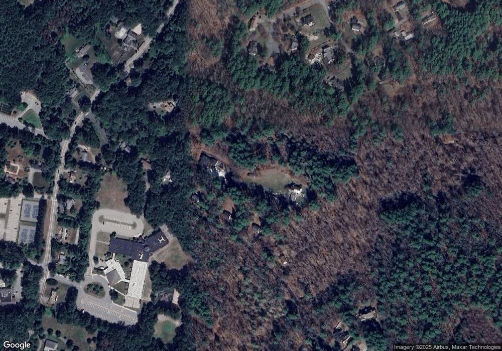
Map
Nearby Homes
- 427 Concord Rd
- 14 Frost Ln
- 63 Canterbury Dr
- 941 Concord Rd
- Lot 5 Sailaway Ln
- 45 N Crescent Cir
- Lot 4 Sailaway Ln
- 2 Betts Way
- 8 Mina Way
- 0 Elm Unit 73282184
- Lot 9 Sailaway Ln
- 4 Betts Way
- 122 Sand Gully Rd N Unit B
- 24 Goodnow Rd
- 270 Old Lancaster Rd
- 36 Old Forge Ln
- 94 Goodmans Hill Rd
- 55 Widow Rites Ln
- 45 Widow Rites Ln
- 401 Emery Ln Unit 304
- 142 Newbridge Rd
- 136 Newbridge Rd
- 150 Newbridge Rd
- 150 Newbridge Rd
- 158 Newbridge Rd
- 154 Newbridge Rd
- 21 Whitetail Ln
- 27 Sawmill Ln
- 164 Newbridge Rd
- 23 Sawmill Ln
- 108 Newbridge Rd
- 188 Newbridge Rd
- 20 Whitetail Ln
- 15 Whitetail Ln
- 112 Newbridge Rd
- 520 Concord Rd
- 28 Sawmill Ln
- 113 Newbridge Rd
- 9 Whitetail Ln
- 192 Newbridge Rd