152 Oliver Point Dr Jonesboro, LA 71251
Estimated Value: $243,000 - $417,000
--
Bed
--
Bath
--
Sq Ft
0.84
Acres
About This Home
This home is located at 152 Oliver Point Dr, Jonesboro, LA 71251 and is currently estimated at $309,623. 152 Oliver Point Dr is a home located in Jackson Parish with nearby schools including Weston High School.
Ownership History
Date
Name
Owned For
Owner Type
Purchase Details
Closed on
May 11, 2017
Sold by
Peterson Ivy Lyle Jay and Peterson Ivy Jane
Bought by
Kruithof Anderson Steven and Kruithof Anderson Cheryl
Current Estimated Value
Purchase Details
Closed on
Apr 26, 2011
Sold by
Murphrey Marvin Douglas and Murphrey Amy L
Bought by
Ivy Lyle Jay and Ivy Jane P
Purchase Details
Closed on
Jun 14, 2010
Sold by
Jones Thomas Newton
Bought by
Murphrey Marvin Douglas and Murphrey Amy L
Home Financials for this Owner
Home Financials are based on the most recent Mortgage that was taken out on this home.
Original Mortgage
$124,611
Interest Rate
7.25%
Mortgage Type
Unknown
Create a Home Valuation Report for This Property
The Home Valuation Report is an in-depth analysis detailing your home's value as well as a comparison with similar homes in the area
Home Values in the Area
Average Home Value in this Area
Purchase History
| Date | Buyer | Sale Price | Title Company |
|---|---|---|---|
| Kruithof Anderson Steven | $238,000 | None Available | |
| Ivy Lyle Jay | $155,000 | None Available | |
| Murphrey Marvin Douglas | $143,000 | None Available |
Source: Public Records
Mortgage History
| Date | Status | Borrower | Loan Amount |
|---|---|---|---|
| Previous Owner | Murphrey Marvin Douglas | $124,611 |
Source: Public Records
Tax History Compared to Growth
Tax History
| Year | Tax Paid | Tax Assessment Tax Assessment Total Assessment is a certain percentage of the fair market value that is determined by local assessors to be the total taxable value of land and additions on the property. | Land | Improvement |
|---|---|---|---|---|
| 2024 | $2,901 | $26,000 | $7,000 | $19,000 |
| 2023 | $2,433 | $23,040 | $7,000 | $16,040 |
| 2022 | $2,433 | $23,040 | $7,000 | $16,040 |
| 2021 | $2,435 | $23,040 | $7,000 | $16,040 |
| 2020 | $1,674 | $15,500 | $4,500 | $11,000 |
| 2019 | $1,671 | $15,500 | $4,500 | $11,000 |
| 2018 | $1,702 | $15,500 | $4,500 | $11,000 |
| 2017 | $1,719 | $15,500 | $0 | $15,500 |
| 2015 | $1,634 | $15,500 | $0 | $15,500 |
| 2013 | $1,559 | $15,500 | $0 | $15,500 |
Source: Public Records
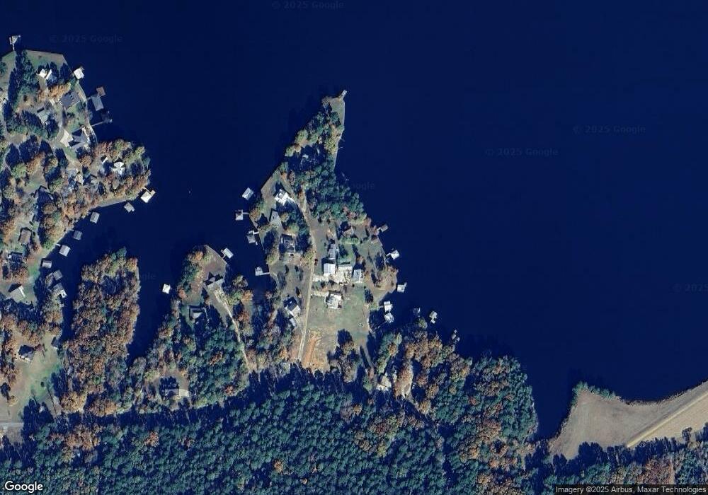
Map
Nearby Homes
- 139 Maxey Rd
- 000 Par Road 480-2
- 113 Betty Kay Rd
- 000 Eagle Point Dr
- 0 Shannon Ln Unit 2422481
- 144 Suanna Ln
- 000 Easy St
- 00 Easy St
- 416 Pebble Dr
- 000 Little Dipper Rd
- 0 Lakeshore Dr Unit 213994
- 271 Dewberry Rd
- 000 Arbin Culpepper Rd
- 291 Twisted Oak Ln
- 0 Haven Loop
- 000 Haven Loop
- 512 Ramsey Rd
- 813 Taylor Rd
- 0 Taylor Rd
- 8758 Highway 4
- 140 Oliver Point Dr
- 162 Oliver Point Dr
- Lots 8 & 9 Oliver Point Dr
- 175 Oliver Point Dr
- 128 Oliver Point Dr
- 177 Oliver Point Dr
- 137 Oliver Point Dr
- 180 Oliver Point Dr
- 377 Paradise Dr
- 317 Paradise Dr
- 309 Paradise Dr
- 385 Paradise Dr
- 411 Paradise Dr
- 423 Paradise Dr
- 295 Paradise Dr
- 000 Paradise Point
- 100 Paradise Dr
- 235 Paradise Dr
- 200 Point Dr
- 50 & 51 Paradise Dr