152 Patrick Rd Tewksbury, MA 01876
Estimated Value: $491,583 - $525,000
2
Beds
2
Baths
1,240
Sq Ft
$407/Sq Ft
Est. Value
About This Home
This home is located at 152 Patrick Rd, Tewksbury, MA 01876 and is currently estimated at $504,646, approximately $406 per square foot. 152 Patrick Rd is a home located in Middlesex County with nearby schools including John W. Wynn Middle School, John F. Ryan Elementary School, and Tewksbury Memorial High School.
Ownership History
Date
Name
Owned For
Owner Type
Purchase Details
Closed on
Jun 16, 2008
Sold by
Mcneil Susan T
Bought by
Haskell James A and Mcneil Susan T
Current Estimated Value
Purchase Details
Closed on
Aug 1, 1997
Sold by
Sullivan Kevin C and Sullivan Margaret A
Bought by
Sargent Robert A and Sargent Linda L
Home Financials for this Owner
Home Financials are based on the most recent Mortgage that was taken out on this home.
Original Mortgage
$94,300
Interest Rate
7.55%
Mortgage Type
Purchase Money Mortgage
Create a Home Valuation Report for This Property
The Home Valuation Report is an in-depth analysis detailing your home's value as well as a comparison with similar homes in the area
Home Values in the Area
Average Home Value in this Area
Purchase History
| Date | Buyer | Sale Price | Title Company |
|---|---|---|---|
| Haskell James A | -- | -- | |
| Sargent Robert A | $117,900 | -- |
Source: Public Records
Mortgage History
| Date | Status | Borrower | Loan Amount |
|---|---|---|---|
| Open | Sargent Robert A | $130,000 | |
| Previous Owner | Sargent Robert A | $104,000 | |
| Previous Owner | Sargent Robert A | $94,300 |
Source: Public Records
Tax History
| Year | Tax Paid | Tax Assessment Tax Assessment Total Assessment is a certain percentage of the fair market value that is determined by local assessors to be the total taxable value of land and additions on the property. | Land | Improvement |
|---|---|---|---|---|
| 2025 | $5,670 | $428,900 | $0 | $428,900 |
| 2024 | $5,393 | $402,800 | $0 | $402,800 |
| 2023 | $5,303 | $376,100 | $0 | $376,100 |
| 2022 | $4,742 | $312,000 | $0 | $312,000 |
| 2021 | $4,645 | $295,500 | $0 | $295,500 |
| 2020 | $4,614 | $288,900 | $0 | $288,900 |
| 2019 | $4,071 | $257,000 | $0 | $257,000 |
| 2018 | $3,912 | $242,500 | $0 | $242,500 |
| 2017 | $3,673 | $225,200 | $0 | $225,200 |
| 2016 | $3,486 | $213,200 | $0 | $213,200 |
| 2015 | $3,127 | $191,000 | $0 | $191,000 |
| 2014 | $2,979 | $184,900 | $0 | $184,900 |
Source: Public Records
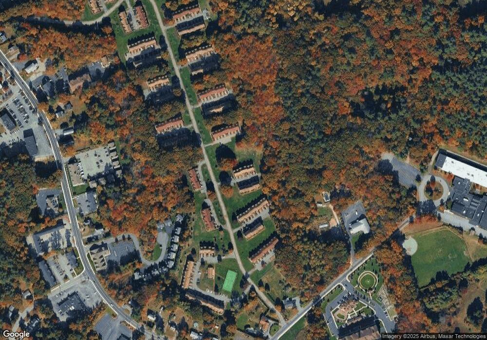
Map
Nearby Homes
- 1455 Main St Unit 8
- 11 Orchard St
- 1325 Main
- 6 Hillcrest Rd
- 4 Villa Roma Dr
- 3 Coburn Ave
- 612 Chandler St
- 107 Eagle Dr Unit 107
- 127 Caddy Ct
- 1 Tremblay Ave
- 91 Heritage Dr
- 128 Heritage Dr
- 16 Eagle Dr
- 26 Ironwood Ln
- 154 Heritage Dr
- 155 Heritage Dr
- 50 Nolan Ct Unit 50
- 258 Apache Way
- 72 Apache Way
- 5 S Oliver St
- 154 Patrick Rd
- 153 Patrick Rd
- 151 Patrick Rd
- 150 Patrick Rd
- 149 Patrick Rd
- 160 Patrick Rd
- 159 Patrick Rd
- 158 Patrick Rd
- 157 Patrick Rd
- 156 Patrick Rd
- 155 Patrick Rd
- 157 Patrick Rd Unit 157
- 170 Patrick Rd
- 169 Patrick Rd
- 168 Patrick Rd
- 167 Patrick Rd
- 166 Patrick Rd
- 165 Patrick Rd
- 164 Patrick Rd
- 163 Patrick Rd
Your Personal Tour Guide
Ask me questions while you tour the home.