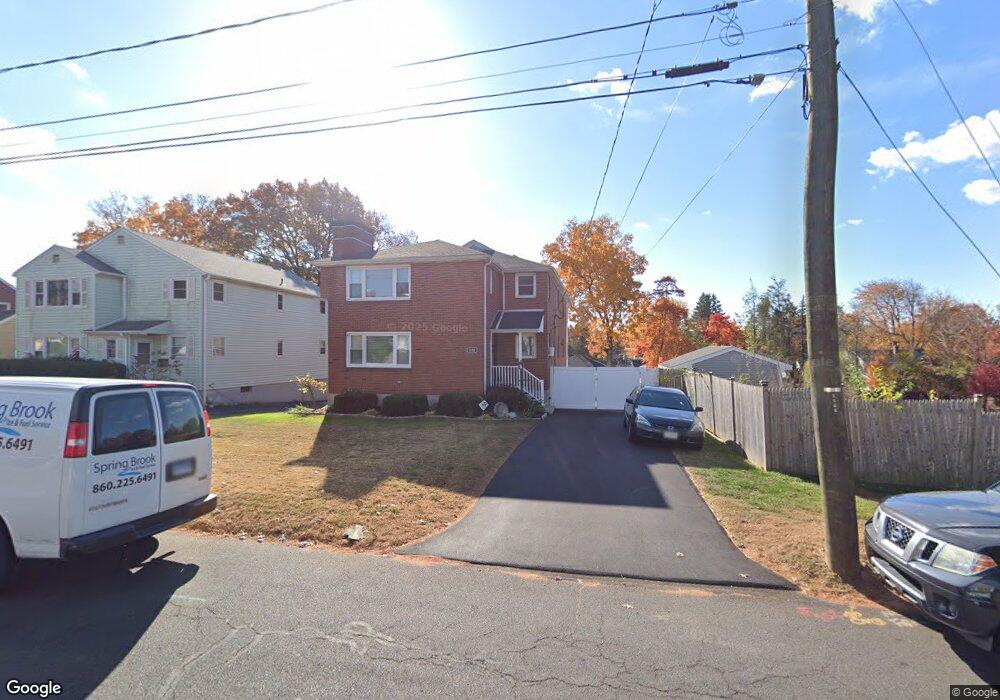
152 Pinehurst Ave New Britain, CT 06053
Estimated Value: $339,525 - $526,000
6
Beds
2
Baths
3,038
Sq Ft
$140/Sq Ft
Est. Value
About This Home
This home is located at 152 Pinehurst Ave, New Britain, CT 06053 and is currently estimated at $425,131, approximately $139 per square foot. 152 Pinehurst Ave is a home located in Hartford County with nearby schools including Gaffney School, Slade Middle School, and Mountain Laurel Sudbury School.
Ownership History
Date
Name
Owned For
Owner Type
Purchase Details
Closed on
Nov 25, 2002
Sold by
Ribes Vincent T and Ribes Josephine
Bought by
Alvardo Catherine
Current Estimated Value
Create a Home Valuation Report for This Property
The Home Valuation Report is an in-depth analysis detailing your home's value as well as a comparison with similar homes in the area
Home Values in the Area
Average Home Value in this Area
Purchase History
| Date | Buyer | Sale Price | Title Company |
|---|---|---|---|
| Alvardo Catherine | $190,000 | -- |
Source: Public Records
Mortgage History
| Date | Status | Borrower | Loan Amount |
|---|---|---|---|
| Open | Alvardo Catherine | $229,825 | |
| Closed | Alvardo Catherine | $33,800 | |
| Closed | Alvardo Catherine | $171,200 |
Source: Public Records
Tax History Compared to Growth
Tax History
| Year | Tax Paid | Tax Assessment Tax Assessment Total Assessment is a certain percentage of the fair market value that is determined by local assessors to be the total taxable value of land and additions on the property. | Land | Improvement |
|---|---|---|---|---|
| 2025 | $7,660 | $195,510 | $55,790 | $139,720 |
| 2024 | $7,740 | $195,510 | $55,790 | $139,720 |
| 2023 | $7,484 | $195,510 | $55,790 | $139,720 |
| 2022 | $6,376 | $128,800 | $25,690 | $103,110 |
| 2021 | $6,376 | $128,800 | $25,690 | $103,110 |
| 2020 | $6,504 | $128,800 | $25,690 | $103,110 |
| 2019 | $6,504 | $128,800 | $25,690 | $103,110 |
| 2018 | $6,504 | $128,800 | $25,690 | $103,110 |
| 2017 | $6,342 | $125,580 | $21,420 | $104,160 |
| 2016 | $6,342 | $125,580 | $21,420 | $104,160 |
| 2015 | $6,153 | $125,580 | $21,420 | $104,160 |
| 2014 | $6,153 | $125,580 | $21,420 | $104,160 |
Source: Public Records
Map
Nearby Homes
- 230 Hillhurst Ave
- 87 Pinehurst Ave
- 42 Fairlane Dr
- 19 Maplehurst Ave
- 1485 Corbin Ave
- 1467 Corbin Ave
- 108 Overhill Ave
- 115 Beechwood Dr
- 23 Ledyard Rd
- 8 Albany Ave
- 25 Clinton St
- 817 W Main St
- 80 N Mountain Rd Unit B
- 76 N Mountain Rd Unit B
- 335 Broad St
- 27 Candlewood Ln
- 95 Pierremount Ave
- 43 Westerly St
- 30 Westerly St
- 527 Burritt St
- 146 Pinehurst Ave
- 393 Slater Rd
- 145 Sterling St
- 140 Pinehurst Ave
- 139 Sterling St
- 155 Sterling St
- 135 Sterling St
- 407 Slater Rd
- 385 Slater Rd
- 161 Sterling St
- 151 Pinehurst Ave
- 132 Pinehurst Ave
- 145 Pinehurst Ave
- 131 Sterling St
- 139 Pinehurst Ave
- 415 Slater Rd
- 127 Sterling St
- 133 Pinehurst Ave
- 146 Pershing Ave
- 375 Slater Rd