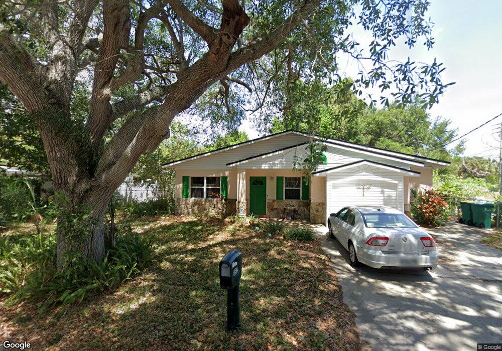
152 Platt Ave Merritt Island, FL 32952
Estimated Value: $255,860 - $329,000
3
Beds
2
Baths
1,325
Sq Ft
$221/Sq Ft
Est. Value
About This Home
This home is located at 152 Platt Ave, Merritt Island, FL 32952 and is currently estimated at $292,465, approximately $220 per square foot. 152 Platt Ave is a home located in Brevard County with nearby schools including Tropical Elementary School, Thomas Jefferson Middle School, and Merritt Island High School.
Ownership History
Date
Name
Owned For
Owner Type
Purchase Details
Closed on
Nov 20, 2000
Sold by
Kincaid Virginia P
Bought by
Kincaid Cherri L and Kincaid Virginia P
Current Estimated Value
Purchase Details
Closed on
Aug 16, 1993
Sold by
Hatfield Jack Joseph and Clusel Mariefrance
Bought by
Kincaid Cherri Lee
Home Financials for this Owner
Home Financials are based on the most recent Mortgage that was taken out on this home.
Original Mortgage
$60,924
Interest Rate
7.22%
Create a Home Valuation Report for This Property
The Home Valuation Report is an in-depth analysis detailing your home's value as well as a comparison with similar homes in the area
Home Values in the Area
Average Home Value in this Area
Purchase History
| Date | Buyer | Sale Price | Title Company |
|---|---|---|---|
| Kincaid Cherri L | -- | -- | |
| Kincaid Cherri Lee | $60,000 | -- |
Source: Public Records
Mortgage History
| Date | Status | Borrower | Loan Amount |
|---|---|---|---|
| Previous Owner | Kincaid Cherri Lee | $60,924 |
Source: Public Records
Tax History Compared to Growth
Tax History
| Year | Tax Paid | Tax Assessment Tax Assessment Total Assessment is a certain percentage of the fair market value that is determined by local assessors to be the total taxable value of land and additions on the property. | Land | Improvement |
|---|---|---|---|---|
| 2025 | $934 | $62,700 | -- | -- |
| 2024 | $917 | $60,940 | -- | -- |
| 2023 | $917 | $59,170 | $0 | $0 |
| 2022 | $872 | $57,450 | $0 | $0 |
| 2021 | $878 | $55,780 | $0 | $0 |
| 2020 | $833 | $55,010 | $0 | $0 |
| 2019 | $779 | $53,780 | $0 | $0 |
| 2018 | $778 | $52,780 | $0 | $0 |
| 2017 | $776 | $51,700 | $0 | $0 |
| 2016 | $781 | $50,640 | $22,000 | $28,640 |
| 2015 | $785 | $50,290 | $22,000 | $28,290 |
| 2014 | $789 | $49,900 | $22,000 | $27,900 |
Source: Public Records
Map
Nearby Homes
- 327 S Tropical Trail
- 225 S Tropical Trail Unit 423
- 225 S Tropical Trail Unit 414
- 225 S Tropical Trail Unit 607
- 95 Peck Ave
- 3190 S Courtenay Pkwy
- 420 Moore Park Ln Unit 203
- 115 Carib Dr
- 270 W Lauren Ct
- 476 Nancie Ave
- 0 S Tropical Trail Unit MFRO6352696
- 0 S Tropical Trail Unit 1059208
- 0 S Tropical Trail Unit MFRFC292867
- 489 Kennwood Ave
- 0 N Courtenay Pkwy Unit 866583
- 0 N Courtenay Pkwy Unit 1041491
- 0 N Courtenay Pkwy Unit 938781
- 280 Andros Dr
- 220 Bel Aire Dr S
- 230 Andros Dr
- 141 Platt Ave
- 395 S Tropical Trail
- 160 Platt Ave
- 139 Platt Ave
- 157 Platt Ave
- 157 Platt Ave Unit A
- 157 Platt Ave Unit B
- 403 S Tropical Trail
- 165 Platt Ave
- 170 Platt Ave
- 335 S Tropical Trail
- 390 S Tropical Trail
- 339 S Tropical Trail
- 400 S Tropical Trail
- 183 Platt Ave
- 350 S Tropical Trail
- 338 S Unknown Trail
- 410 S Tropical Trail
- 338 S Tropical Trail
- 336 S Tropical Trail