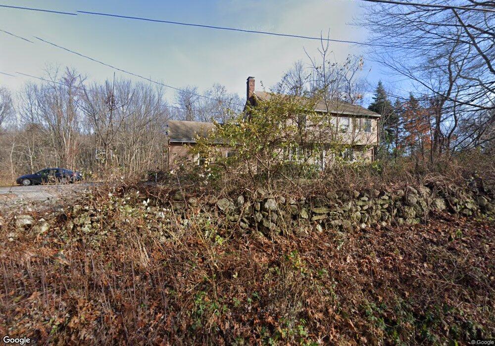
152 Ramshorn Rd Dudley, MA 01571
Estimated Value: $483,000 - $696,000
3
Beds
3
Baths
1,768
Sq Ft
$310/Sq Ft
Est. Value
About This Home
This home is located at 152 Ramshorn Rd, Dudley, MA 01571 and is currently estimated at $548,436, approximately $310 per square foot. 152 Ramshorn Rd is a home located in Worcester County with nearby schools including Shepherd Hill Regional High School.
Ownership History
Date
Name
Owned For
Owner Type
Purchase Details
Closed on
Apr 24, 1997
Sold by
Ryan Shawn C and Ryan Lynne E
Bought by
Burke Mary E and Hetherman George J
Current Estimated Value
Home Financials for this Owner
Home Financials are based on the most recent Mortgage that was taken out on this home.
Original Mortgage
$120,000
Interest Rate
7.77%
Mortgage Type
Purchase Money Mortgage
Create a Home Valuation Report for This Property
The Home Valuation Report is an in-depth analysis detailing your home's value as well as a comparison with similar homes in the area
Home Values in the Area
Average Home Value in this Area
Purchase History
| Date | Buyer | Sale Price | Title Company |
|---|---|---|---|
| Burke Mary E | $150,000 | -- |
Source: Public Records
Mortgage History
| Date | Status | Borrower | Loan Amount |
|---|---|---|---|
| Open | Burke Mary E | $132,000 | |
| Closed | Burke Mary E | $120,000 | |
| Previous Owner | Burke Mary E | $133,500 |
Source: Public Records
Tax History
| Year | Tax Paid | Tax Assessment Tax Assessment Total Assessment is a certain percentage of the fair market value that is determined by local assessors to be the total taxable value of land and additions on the property. | Land | Improvement |
|---|---|---|---|---|
| 2025 | $42 | $398,600 | $91,400 | $307,200 |
| 2024 | $3,965 | $378,300 | $91,400 | $286,900 |
| 2023 | $3,494 | $343,900 | $80,000 | $263,900 |
| 2022 | $3,502 | $299,300 | $78,300 | $221,000 |
| 2021 | $3,470 | $282,100 | $74,800 | $207,300 |
| 2020 | $3,465 | $265,300 | $71,300 | $194,000 |
| 2019 | $3,452 | $255,700 | $71,300 | $184,400 |
| 2018 | $2,888 | $246,200 | $71,300 | $174,900 |
| 2017 | $2,804 | $234,800 | $71,300 | $163,500 |
| 2016 | $2,871 | $235,700 | $67,800 | $167,900 |
| 2015 | $2,814 | $229,500 | $67,800 | $161,700 |
Source: Public Records
Map
Nearby Homes
- 86 Ramshorn Rd
- 0 Putnam Rd
- 72 NW Schoolhouse Rd
- 20 Brentwood Dr
- 249 Dudley Southbridge Rd
- 73 Dudley Hill Rd
- 2 Potter Village Rd
- 7 King Rd
- 58 Lelandville Rd
- 60 Saundersdale Rd
- 2 Lelandville Rd
- 3 Lelandville Rd
- 4 W Dudley Rd
- 10 Daves Way
- 128 Old Southbridge Rd
- 768 Ashland Ave
- 24 Railroad Ave
- 126 Old Southbridge Rd
- 3 6th Ave
- 25 Quinebaug Rd
- 144 Ramshorn Rd
- 139 Ramshorn Rd
- 158 Ramshorn Rd
- 126 Ramshorn Rd
- 133 Ramshorn Rd
- 124 Ramshorn Rd
- 131 Ramshorn Rd
- 122 Ramshorn Rd
- 129 Ramshorn Rd
- 176 Ramshorn Rd
- 120 Ramshorn Rd
- 167 Ramshorn Rd
- 178 Ramshorn Rd
- 68 Dresser Hill Rd
- 181 Ramshorn Rd
- 180 Ramshorn Rd
- 183 Ramshorn Rd
- 1 Britlee's Way
- 1 Britlees Way
- 1 Baker Pond Rd
Your Personal Tour Guide
Ask me questions while you tour the home.