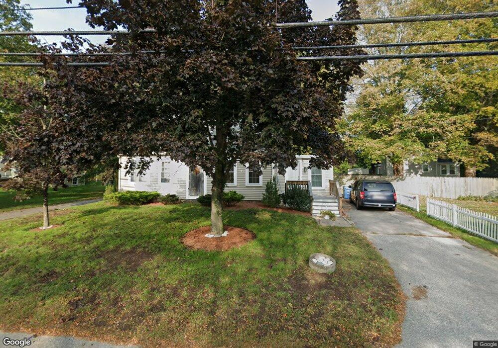
152 Spring St Hanson, MA 02341
Estimated Value: $324,000 - $634,000
4
Beds
3
Baths
1,840
Sq Ft
$264/Sq Ft
Est. Value
About This Home
This home is located at 152 Spring St, Hanson, MA 02341 and is currently estimated at $485,756, approximately $263 per square foot. 152 Spring St is a home located in Plymouth County.
Ownership History
Date
Name
Owned For
Owner Type
Purchase Details
Closed on
Jun 20, 2007
Sold by
Corrente Terry M and Corrente Carol A
Bought by
Whitt-Cetin Lindsay A and Cetin Taner
Current Estimated Value
Home Financials for this Owner
Home Financials are based on the most recent Mortgage that was taken out on this home.
Original Mortgage
$277,805
Interest Rate
6.14%
Mortgage Type
Purchase Money Mortgage
Create a Home Valuation Report for This Property
The Home Valuation Report is an in-depth analysis detailing your home's value as well as a comparison with similar homes in the area
Home Values in the Area
Average Home Value in this Area
Purchase History
| Date | Buyer | Sale Price | Title Company |
|---|---|---|---|
| Whitt-Cetin Lindsay A | $280,000 | -- |
Source: Public Records
Mortgage History
| Date | Status | Borrower | Loan Amount |
|---|---|---|---|
| Open | Whitt-Cetin Lindsay A | $268,713 | |
| Closed | Whitt-Cetin Lindsay A | $277,805 | |
| Closed | Whitt-Cetin Lindsay A | $277,805 | |
| Previous Owner | Whitt-Cetin Lindsay A | $185,100 |
Source: Public Records
Tax History
| Year | Tax Paid | Tax Assessment Tax Assessment Total Assessment is a certain percentage of the fair market value that is determined by local assessors to be the total taxable value of land and additions on the property. | Land | Improvement |
|---|---|---|---|---|
| 2025 | $5,228 | $390,700 | $160,000 | $230,700 |
| 2024 | $5,078 | $379,500 | $155,400 | $224,100 |
| 2023 | $5,259 | $370,900 | $155,400 | $215,500 |
| 2022 | $4,267 | $282,800 | $141,200 | $141,600 |
| 2021 | $3,905 | $258,600 | $135,800 | $122,800 |
| 2020 | $3,854 | $252,400 | $131,200 | $121,200 |
| 2019 | $3,747 | $241,300 | $128,700 | $112,600 |
| 2018 | $3,709 | $234,300 | $123,700 | $110,600 |
| 2017 | $3,599 | $225,200 | $117,800 | $107,400 |
| 2016 | $3,692 | $223,100 | $117,800 | $105,300 |
| 2015 | $3,490 | $219,200 | $117,800 | $101,400 |
Source: Public Records
Map
Nearby Homes
- 724 Whitman St
- Lot 5 Princeton Way
- 84 Liberty St
- 22 Howland Trail Unit 34
- 17 Hayford Trail Unit 12
- 7 Hayford Trail Unit 12
- 5 Hayford Trail Unit 11
- 23 Live Oak Way
- 139 Fairwood Dr
- 26 Stonebridge Dr
- 361 County Rd
- 10 Proud Foot Way
- 361A County Rd
- 161 Winter St Unit 11
- 108 Waterford Dr
- Lot 6 Way
- 430 Brook Bend Rd
- 10 Birch Bottom Cir
- 214 Winter St
- 61 Sawmill Ln Unit 61
- 10 Bowker Ave
- 134 Spring St
- 135 Spring St
- 24 Bowker Ave
- 174 Spring St
- 188 Spring St
- 177 Spring St
- 117 Spring St
- 117 Spring St Unit 2
- 117 Spring St
- 117 Spring St Unit 1
- 124 Spring St
- 187 Spring St
- 196 Spring St
- 42 Bowker Ave
- 118 Spring St
- 30 Tavern Way
- 100 Spring St
- 201 Spring St
- 201 Spring St Unit A
Your Personal Tour Guide
Ask me questions while you tour the home.