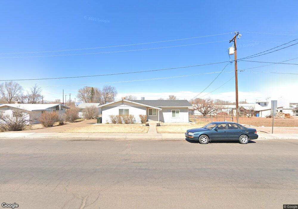
152 W 7th St S Snowflake, AZ 85937
Estimated Value: $263,896 - $329,000
--
Bed
--
Bath
1,652
Sq Ft
$187/Sq Ft
Est. Value
About This Home
This home is located at 152 W 7th St S, Snowflake, AZ 85937 and is currently estimated at $308,974, approximately $187 per square foot. 152 W 7th St S is a home located in Navajo County with nearby schools including Highland Primary School, Snowflake Intermediate School, and Snowflake Junior High School.
Ownership History
Date
Name
Owned For
Owner Type
Purchase Details
Closed on
Jun 10, 2016
Sold by
Solomon Sterling and Solomon Michelle
Bought by
Gresko Nathan W and Gresko Marne K
Current Estimated Value
Home Financials for this Owner
Home Financials are based on the most recent Mortgage that was taken out on this home.
Original Mortgage
$137,464
Outstanding Balance
$112,268
Interest Rate
4.4%
Mortgage Type
FHA
Estimated Equity
$196,706
Purchase Details
Closed on
Jan 20, 2005
Sold by
Mccray Gary Dean
Bought by
Solomon Sterling and Solomon Michelle
Home Financials for this Owner
Home Financials are based on the most recent Mortgage that was taken out on this home.
Original Mortgage
$90,400
Interest Rate
5.65%
Mortgage Type
New Conventional
Create a Home Valuation Report for This Property
The Home Valuation Report is an in-depth analysis detailing your home's value as well as a comparison with similar homes in the area
Home Values in the Area
Average Home Value in this Area
Purchase History
| Date | Buyer | Sale Price | Title Company |
|---|---|---|---|
| Gresko Nathan W | $140,000 | Pioneer Title Agency | |
| Solomon Sterling | $113,000 | Transnation Title |
Source: Public Records
Mortgage History
| Date | Status | Borrower | Loan Amount |
|---|---|---|---|
| Open | Gresko Nathan W | $137,464 | |
| Previous Owner | Solomon Sterling | $90,400 |
Source: Public Records
Tax History Compared to Growth
Tax History
| Year | Tax Paid | Tax Assessment Tax Assessment Total Assessment is a certain percentage of the fair market value that is determined by local assessors to be the total taxable value of land and additions on the property. | Land | Improvement |
|---|---|---|---|---|
| 2026 | $441 | -- | -- | -- |
| 2025 | $429 | $21,336 | $3,850 | $17,486 |
| 2024 | $458 | $21,072 | $3,348 | $17,724 |
| 2023 | $429 | $13,858 | $695 | $13,163 |
| 2022 | $458 | $0 | $0 | $0 |
| 2021 | $496 | $0 | $0 | $0 |
| 2020 | $499 | $0 | $0 | $0 |
| 2019 | $489 | $0 | $0 | $0 |
| 2018 | $474 | $0 | $0 | $0 |
| 2017 | $463 | $0 | $0 | $0 |
| 2016 | $474 | $0 | $0 | $0 |
| 2015 | $416 | $5,122 | $1,116 | $4,006 |
Source: Public Records
Map
Nearby Homes
- 0 S 1st St W
- 381 W 7th St S
- 940 S 2nd St W
- 416 S 2nd St W
- 864 S 1st St E
- 960 S Highland Dr
- 274 W Sycamore Unit 1
- 215 E 10th St S
- 44 S 3rd St W Unit W
- 44 S 3rd St W
- 552 W Mclaws Ave
- 461 W Center St
- 420 S Astante Dr
- 177 W 1st St N
- 1052 W 8th St S
- 177 N 1st East St
- 1537 S Main St
- 7545 E Sherwood Ln Unit R
- 7545 E Sherwood Ln
- 221 N Main St