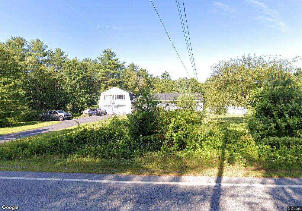
152 W Auburn Rd Auburn, ME 04210
Estimated Value: $411,000 - $482,000
4
Beds
2
Baths
2,016
Sq Ft
$222/Sq Ft
Est. Value
About This Home
This home is located at 152 W Auburn Rd, Auburn, ME 04210 and is currently estimated at $446,727, approximately $221 per square foot. 152 W Auburn Rd is a home located in Androscoggin County with nearby schools including East Auburn Community School, Auburn Middle School, and Edward Little High School.
Ownership History
Date
Name
Owned For
Owner Type
Purchase Details
Closed on
Oct 23, 2006
Sold by
Belanger Melissa A and Belanger Steven M
Bought by
Spencer Angela C and Spencer Stephen C
Current Estimated Value
Home Financials for this Owner
Home Financials are based on the most recent Mortgage that was taken out on this home.
Original Mortgage
$172,000
Outstanding Balance
$102,806
Interest Rate
6.49%
Mortgage Type
Purchase Money Mortgage
Estimated Equity
$343,921
Create a Home Valuation Report for This Property
The Home Valuation Report is an in-depth analysis detailing your home's value as well as a comparison with similar homes in the area
Home Values in the Area
Average Home Value in this Area
Purchase History
| Date | Buyer | Sale Price | Title Company |
|---|---|---|---|
| Spencer Angela C | -- | -- |
Source: Public Records
Mortgage History
| Date | Status | Borrower | Loan Amount |
|---|---|---|---|
| Open | Spencer Angela C | $172,000 | |
| Closed | Spencer Angela C | $43,000 |
Source: Public Records
Tax History Compared to Growth
Tax History
| Year | Tax Paid | Tax Assessment Tax Assessment Total Assessment is a certain percentage of the fair market value that is determined by local assessors to be the total taxable value of land and additions on the property. | Land | Improvement |
|---|---|---|---|---|
| 2024 | $5,605 | $251,900 | $65,100 | $186,800 |
| 2023 | $5,112 | $224,700 | $57,900 | $166,800 |
| 2022 | $5,112 | $224,700 | $57,900 | $166,800 |
| 2021 | $4,488 | $188,400 | $48,100 | $140,300 |
| 2020 | $4,380 | $184,400 | $48,100 | $136,300 |
| 2019 | $4,380 | $184,400 | $48,100 | $136,300 |
| 2018 | $4,367 | $184,400 | $48,100 | $136,300 |
| 2017 | $4,239 | $184,400 | $48,100 | $136,300 |
| 2016 | $4,148 | $185,600 | $48,100 | $137,500 |
| 2015 | $3,944 | $185,600 | $48,100 | $137,500 |
| 2013 | -- | $187,600 | $48,100 | $139,500 |
Source: Public Records
Map
Nearby Homes
- 351 W Auburn Rd
- 444 W Auburn Rd
- 759 Lake St
- 207 N Auburn Rd
- 123 Oak Hill Rd
- 12 Buttercup Cir
- 7 Mallard Dr
- 27 Andrea Ln Unit 9
- 5 Braman St
- 3 Rose Terrace
- 52 Harvard St
- 88 Tourmaline Ln Unit 34
- 117 Winter St
- 60 Wedgewood Rd
- 15 Western Promenade
- 18 Concord Place Unit 24
- 317 Turner St
- 121 Summer St
- 74 Winter St
- 7 Northern Ave
- 168 W Auburn Rd
- 180 W Auburn Rd
- 120 W Auburn Rd
- 201 W Auburn Rd
- 3 Whitman Spring Rd
- 33 Spring Rd
- 33 Whitman Spring Rd
- 220 W Auburn Rd
- 85 W Auburn Rd
- 237 W Auburn Rd
- 242 W Auburn Rd
- 65 Whitman Spring Rd
- 121 Whitman Spring Rd
- 271 W Auburn Rd
- 280 W Auburn Rd
- 43 Point of Pine Rd
- 316 W Auburn Rd
- 175 Whitman Spring Rd
- 4 W Auburn Rd
- 0-1 Hotel Rd