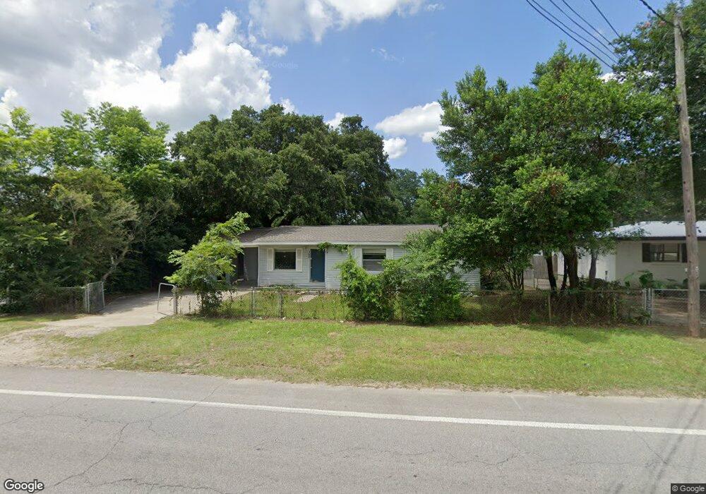
152 W Burgess Rd Pensacola, FL 32503
Estimated Value: $124,000 - $144,565
--
Bed
1
Bath
1,134
Sq Ft
$119/Sq Ft
Est. Value
About This Home
This home is located at 152 W Burgess Rd, Pensacola, FL 32503 and is currently estimated at $134,891, approximately $118 per square foot. 152 W Burgess Rd is a home located in Escambia County with nearby schools including Ensley Elementary School, Ferry Pass Middle School, and Pine Forest High School.
Ownership History
Date
Name
Owned For
Owner Type
Purchase Details
Closed on
Jan 2, 2020
Sold by
Gulf Holdings Llc
Bought by
Seaside 1882 Llc
Current Estimated Value
Purchase Details
Closed on
Jan 28, 2019
Sold by
Brown Trisha and Brown Gloria
Bought by
Bay To Gulf Holdings Llc
Purchase Details
Closed on
Jan 25, 2018
Sold by
Brown Gloria
Bought by
Hock Trisha
Purchase Details
Closed on
Dec 16, 2015
Sold by
Anthony William J and Kendrick Wanda J
Bought by
Hicks Trisha
Create a Home Valuation Report for This Property
The Home Valuation Report is an in-depth analysis detailing your home's value as well as a comparison with similar homes in the area
Home Values in the Area
Average Home Value in this Area
Purchase History
| Date | Buyer | Sale Price | Title Company |
|---|---|---|---|
| Seaside 1882 Llc | -- | Achieve Title Services Llc | |
| Bay To Gulf Holdings Llc | $33,600 | None Available | |
| Hock Trisha | -- | Attorney | |
| Hicks Trisha | $31,200 | Partnership Title Co Llc |
Source: Public Records
Tax History Compared to Growth
Tax History
| Year | Tax Paid | Tax Assessment Tax Assessment Total Assessment is a certain percentage of the fair market value that is determined by local assessors to be the total taxable value of land and additions on the property. | Land | Improvement |
|---|---|---|---|---|
| 2024 | $1,298 | $98,873 | $16,100 | $82,773 |
| 2023 | $1,298 | $84,594 | $0 | $0 |
| 2022 | $1,201 | $85,549 | $12,018 | $73,531 |
| 2021 | $1,093 | $69,913 | $0 | $0 |
| 2020 | $950 | $60,544 | $0 | $0 |
| 2019 | $911 | $57,163 | $0 | $0 |
| 2018 | $500 | $53,783 | $0 | $0 |
| 2017 | $870 | $51,954 | $0 | $0 |
| 2016 | $863 | $50,623 | $0 | $0 |
| 2015 | $817 | $48,406 | $0 | $0 |
| 2014 | $779 | $46,186 | $0 | $0 |
Source: Public Records
Map
Nearby Homes
- 112 Myrtlewood Dr
- 7117 Dale St
- 16 Whitehead Dr
- 7116 Dale St
- 6122 Trent St
- 6208 Brosnaham Ave
- 176 Creekview Dr
- 6206 Lucy St
- 6802 Tiki Ln
- 6970 Rhoda St
- 0 Baker St
- xxx Baker St
- 311 W Hope Dr
- 169 Arbor Ave
- 7722 Deborah Dr
- 7000 Forshalee St
- 720 Lambert St
- 416 Cornwall Cir
- 112 Redbreast Ln
- 7727 Deborah Dr