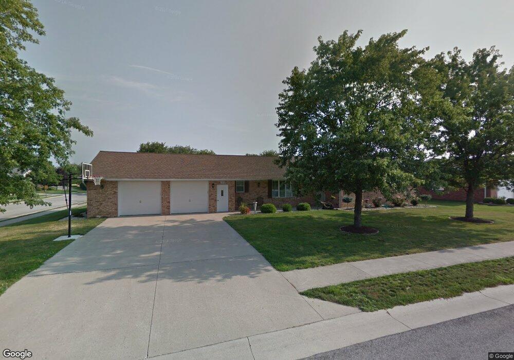
152 Westwood Dr Fort Jennings, OH 45844
Estimated Value: $246,724 - $332,000
--
Bed
--
Bath
1,732
Sq Ft
$166/Sq Ft
Est. Value
About This Home
This home is located at 152 Westwood Dr, Fort Jennings, OH 45844 and is currently estimated at $287,431, approximately $165 per square foot. 152 Westwood Dr is a home with nearby schools including Ottoville Elementary School and Ottoville High School.
Ownership History
Date
Name
Owned For
Owner Type
Purchase Details
Closed on
Sep 10, 2024
Sold by
Wannemacher William J and Wannemacher Suzanne E
Bought by
Wannemacher Preservation Trust and Peck
Current Estimated Value
Purchase Details
Closed on
Sep 9, 2020
Sold by
Wannemacher William John and Wannemacher William J
Bought by
Wannemacher William J and Wannemacher Suzanne E
Create a Home Valuation Report for This Property
The Home Valuation Report is an in-depth analysis detailing your home's value as well as a comparison with similar homes in the area
Home Values in the Area
Average Home Value in this Area
Purchase History
| Date | Buyer | Sale Price | Title Company |
|---|---|---|---|
| Wannemacher Preservation Trust | -- | None Listed On Document | |
| Wannemacher Preservation Trust | -- | None Listed On Document | |
| Wannemacher William J | -- | None Available |
Source: Public Records
Tax History Compared to Growth
Tax History
| Year | Tax Paid | Tax Assessment Tax Assessment Total Assessment is a certain percentage of the fair market value that is determined by local assessors to be the total taxable value of land and additions on the property. | Land | Improvement |
|---|---|---|---|---|
| 2024 | $2,485 | $74,990 | $6,720 | $68,270 |
| 2023 | $2,521 | $56,260 | $5,230 | $51,030 |
| 2022 | $2,213 | $56,259 | $5,229 | $51,030 |
| 2021 | $2,268 | $55,760 | $5,230 | $50,530 |
| 2020 | $2,213 | $49,360 | $4,870 | $44,490 |
| 2019 | $2,085 | $53,470 | $5,230 | $48,240 |
| 2018 | $1,967 | $53,470 | $5,230 | $48,240 |
| 2017 | $2,064 | $53,470 | $5,230 | $48,240 |
| 2016 | $1,844 | $49,360 | $4,870 | $44,490 |
| 2015 | $1,853 | $49,360 | $4,870 | $44,490 |
| 2014 | $1,821 | $49,360 | $4,870 | $44,490 |
| 2013 | $1,909 | $49,360 | $4,870 | $44,490 |
Source: Public Records
Map
Nearby Homes
- 320 Auglaize St
- 0 Road 24-Q
- 0 Heritage Cir Unit 6112034
- 0 Heritage Cir Unit 303239
- 7510 State Route 66
- 8951 Brickner Rd
- 17736 Road 20p
- 25853 Road M
- 1303 Carolyn Dr
- 1220 Rose Anna Dr
- 810 N Franklin St
- 20501 U S 224
- 704 N Franklin St
- 604 W 6th St
- 628 N Pierce St
- 610 N Washington St
- 503 W 6th St
- 650 E 6th St
- 616 W 5th St
- 409 N Bredeick St