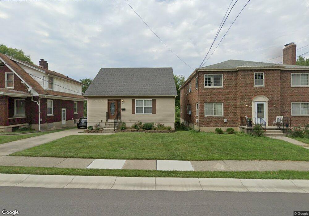
1520 Adams Rd Cincinnati, OH 45231
Estimated Value: $208,000 - $258,000
3
Beds
2
Baths
1,674
Sq Ft
$143/Sq Ft
Est. Value
About This Home
This home is located at 1520 Adams Rd, Cincinnati, OH 45231 and is currently estimated at $239,310, approximately $142 per square foot. 1520 Adams Rd is a home located in Hamilton County with nearby schools including Mt Healthy High School, Central Montessori Academy, and John Paul II Catholic School.
Ownership History
Date
Name
Owned For
Owner Type
Purchase Details
Closed on
Jul 18, 2007
Sold by
Wells Fargo Bank Na
Bought by
Watson James W
Current Estimated Value
Home Financials for this Owner
Home Financials are based on the most recent Mortgage that was taken out on this home.
Original Mortgage
$82,400
Outstanding Balance
$52,118
Interest Rate
6.73%
Mortgage Type
Unknown
Estimated Equity
$187,192
Purchase Details
Closed on
Mar 6, 2007
Sold by
Arcaro Carolyn
Bought by
Wells Fargo Bank Na
Purchase Details
Closed on
Aug 18, 2000
Sold by
Arcaro Angela R and Arcaro Richard A
Bought by
Arcaro Carolyn
Create a Home Valuation Report for This Property
The Home Valuation Report is an in-depth analysis detailing your home's value as well as a comparison with similar homes in the area
Home Values in the Area
Average Home Value in this Area
Purchase History
| Date | Buyer | Sale Price | Title Company |
|---|---|---|---|
| Watson James W | $103,000 | Sovereign Title Agency Llc | |
| Wells Fargo Bank Na | $70,000 | None Available | |
| Arcaro Carolyn | $10,000 | -- |
Source: Public Records
Mortgage History
| Date | Status | Borrower | Loan Amount |
|---|---|---|---|
| Open | Watson James W | $82,400 |
Source: Public Records
Tax History Compared to Growth
Tax History
| Year | Tax Paid | Tax Assessment Tax Assessment Total Assessment is a certain percentage of the fair market value that is determined by local assessors to be the total taxable value of land and additions on the property. | Land | Improvement |
|---|---|---|---|---|
| 2024 | $3,901 | $71,015 | $7,854 | $63,161 |
| 2023 | $3,861 | $71,015 | $7,854 | $63,161 |
| 2022 | $4,166 | $54,999 | $6,559 | $48,440 |
| 2021 | $4,145 | $54,999 | $6,559 | $48,440 |
| 2020 | $4,154 | $54,999 | $6,559 | $48,440 |
| 2019 | $3,521 | $48,671 | $5,803 | $42,868 |
| 2018 | $3,541 | $48,671 | $5,803 | $42,868 |
| 2017 | $3,393 | $48,671 | $5,803 | $42,868 |
| 2016 | $2,119 | $29,614 | $6,748 | $22,866 |
| 2015 | $2,099 | $29,614 | $6,748 | $22,866 |
| 2014 | $2,083 | $29,614 | $6,748 | $22,866 |
| 2013 | $2,454 | $35,253 | $8,033 | $27,220 |
Source: Public Records
Map
Nearby Homes
- 1509 Adams Rd
- 1559 Adams Rd
- 1541 Mcmakin Ave
- 7617 Elizabeth St
- 1514 Compton Rd
- 7832 Lincoln Ave
- 7508 Elizabeth St
- 9320 Rambler Place
- 7504 Elizabeth St
- 1579 Meredith Dr
- 1559 Meredith Dr
- 1737 Compton Rd
- 7400 Hickman St
- 7359 Joseph St
- 7345 Hickman St
- 7428 Werner Ave
- 1458 Van Fleet Ave
- 1050 Meredith Dr
- 9731 Culpepper Ct
- 7355 Werner Ave