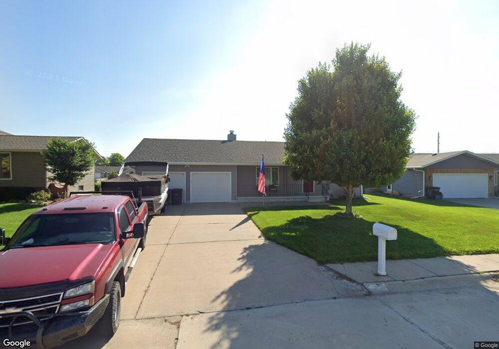
1520 Apache Ave Hastings, NE 68901
Estimated Value: $250,494 - $345,000
2
Beds
2
Baths
1,272
Sq Ft
$218/Sq Ft
Est. Value
About This Home
This home is located at 1520 Apache Ave, Hastings, NE 68901 and is currently estimated at $277,124, approximately $217 per square foot. 1520 Apache Ave is a home located in Adams County with nearby schools including Hastings Senior High School, St. Michael's Preschool & Elementary School, and Zion Lutheran School.
Ownership History
Date
Name
Owned For
Owner Type
Purchase Details
Closed on
Dec 16, 2019
Sold by
Barker Jeannette M and Barker William R
Bought by
Trausch Lindsay M
Current Estimated Value
Home Financials for this Owner
Home Financials are based on the most recent Mortgage that was taken out on this home.
Original Mortgage
$132,200
Outstanding Balance
$116,553
Interest Rate
3.6%
Mortgage Type
New Conventional
Estimated Equity
$160,571
Purchase Details
Closed on
Oct 27, 2005
Sold by
Nelson Glen D and Nelson Freida G
Bought by
Barker Jeannette M and Fort Diane G
Create a Home Valuation Report for This Property
The Home Valuation Report is an in-depth analysis detailing your home's value as well as a comparison with similar homes in the area
Home Values in the Area
Average Home Value in this Area
Purchase History
| Date | Buyer | Sale Price | Title Company |
|---|---|---|---|
| Trausch Lindsay M | $166,000 | None Available | |
| Barker Jeannette M | -- | None Available | |
| Nelson Glen D | -- | None Available |
Source: Public Records
Mortgage History
| Date | Status | Borrower | Loan Amount |
|---|---|---|---|
| Open | Trausch Lindsay M | $132,200 |
Source: Public Records
Tax History Compared to Growth
Tax History
| Year | Tax Paid | Tax Assessment Tax Assessment Total Assessment is a certain percentage of the fair market value that is determined by local assessors to be the total taxable value of land and additions on the property. | Land | Improvement |
|---|---|---|---|---|
| 2024 | $3,147 | $194,317 | $28,650 | $165,667 |
| 2023 | $3,497 | $169,467 | $28,650 | $140,817 |
| 2022 | $3,023 | $134,190 | $28,650 | $105,540 |
| 2021 | $2,890 | $131,803 | $26,263 | $105,540 |
| 2020 | $2,842 | $131,803 | $26,263 | $105,540 |
| 2019 | $48 | $131,803 | $26,263 | $105,540 |
| 2018 | $134 | $124,640 | $19,100 | $105,540 |
| 2017 | $175 | $122,570 | $0 | $0 |
| 2016 | $140 | $115,800 | $19,100 | $96,700 |
| 2011 | -- | $107,465 | $17,190 | $90,275 |
Source: Public Records
Map
Nearby Homes
- 1402 Arapahoe Ave
- 1314 N Laird Ave
- 1802 Westchester Dr
- 1330 Heritage Dr
- 1225 Heritage Dr
- 2616 Butterfoot Ln
- 2708 Edgewood Ln
- 1513 Crane Ave
- 1505 Crane Ave
- 1201 Pershing Rd
- 2330 W 11th St
- 1223 Westwood Terrace
- 1911 W 11th St
- 2501 W 10th St
- 2416 W 9th St
- 1814 Boyce St
- 1108 N Baltimore Ave
- 1334 W 12th St
- 2707 W 9th St
- 2521 Boyce St
- 1600 Apache Ave
- 1518 Apache Ave
- 1606 Apache Ave
- 1512 Apache Ave
- 1521 Apache Ave
- 1601 Apache Ave
- 1515 Apache Ave
- 2009 Crane Circle Dr
- 1612 Apache Ave
- 1506 Apache Ave
- 2005 Crane Circle Dr
- 1607 Apache Ave
- 1509 Apache Ave
- 2013 Crane Circle Dr
- 1613 Apache Ave
- 1510 Arapahoe Ave
- 1616 Apache Ave
- 1506 Arapahoe Ave
- 1500 Apache Ave
- 1501 Apache Ave