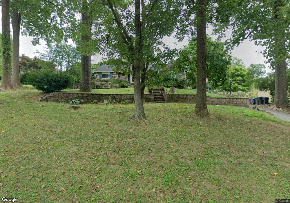
1520 Carmac Rd West Chester, PA 19382
Estimated Value: $467,000 - $514,000
3
Beds
2
Baths
1,442
Sq Ft
$338/Sq Ft
Est. Value
About This Home
This home is located at 1520 Carmac Rd, West Chester, PA 19382 and is currently estimated at $487,283, approximately $337 per square foot. 1520 Carmac Rd is a home located in Chester County with nearby schools including Penn Wood Elementary School, Stetson Middle School, and Bayard Rustin High School.
Ownership History
Date
Name
Owned For
Owner Type
Purchase Details
Closed on
Sep 15, 1999
Sold by
Orourke Walsh Patrick F and Orourke Walsh Marian
Bought by
Cugini Charles C and Cugini Lizabeth R
Current Estimated Value
Home Financials for this Owner
Home Financials are based on the most recent Mortgage that was taken out on this home.
Original Mortgage
$134,400
Outstanding Balance
$39,876
Interest Rate
7.83%
Mortgage Type
Stand Alone First
Estimated Equity
$447,408
Create a Home Valuation Report for This Property
The Home Valuation Report is an in-depth analysis detailing your home's value as well as a comparison with similar homes in the area
Home Values in the Area
Average Home Value in this Area
Purchase History
| Date | Buyer | Sale Price | Title Company |
|---|---|---|---|
| Cugini Charles C | $168,000 | -- |
Source: Public Records
Mortgage History
| Date | Status | Borrower | Loan Amount |
|---|---|---|---|
| Open | Cugini Charles C | $134,400 | |
| Closed | Cugini Charles C | $16,800 |
Source: Public Records
Tax History Compared to Growth
Tax History
| Year | Tax Paid | Tax Assessment Tax Assessment Total Assessment is a certain percentage of the fair market value that is determined by local assessors to be the total taxable value of land and additions on the property. | Land | Improvement |
|---|---|---|---|---|
| 2025 | $4,174 | $135,040 | $36,920 | $98,120 |
| 2024 | $4,174 | $135,040 | $36,920 | $98,120 |
| 2023 | $4,145 | $135,040 | $36,920 | $98,120 |
| 2022 | $4,066 | $135,040 | $36,920 | $98,120 |
| 2021 | $4,012 | $135,040 | $36,920 | $98,120 |
| 2020 | $3,988 | $135,040 | $36,920 | $98,120 |
| 2019 | $3,935 | $135,040 | $36,920 | $98,120 |
| 2018 | $3,856 | $135,040 | $36,920 | $98,120 |
| 2017 | $3,777 | $135,040 | $36,920 | $98,120 |
| 2016 | $2,876 | $135,040 | $36,920 | $98,120 |
| 2015 | $2,876 | $135,040 | $36,920 | $98,120 |
| 2014 | $2,876 | $135,040 | $36,920 | $98,120 |
Source: Public Records
Map
Nearby Homes
- 1523 Johnnys Way
- 1512 Pennsbury Dr
- 1547 Johnnys Way
- 605 Durham Ct
- 808 Hinchley Run
- 801 Winchester Ct Unit 801
- 5 Dorset Rd
- 407 Leslie Ln
- 1518 Manley Rd Unit B20
- 120 Freedom Rider Trail
- 1704 Stoneham Dr
- 1606 Stoneham Dr Unit 1606
- 1545 Pheasant Ln. & 193a Middletown Rd
- 1545 Pheasant Ln
- 198 Summit House
- 453 Summit House
- 650 Summit House Unit 650
- 164 Summit House Unit 164
- 626 Summit House Unit 626
- 567 Summit House Unit 567
- 1518 Carmac Rd
- 1002 Martone Rd
- 1516 Carmac Rd
- 1521 Marlboro Rd
- 1004 Martone Rd
- 1519 Marlboro Rd
- 1519 Carmac Rd
- 1523 Carmac Rd
- 1517 Carmac Rd
- 1517 Marlboro Rd
- 1523 Marlboro Rd
- 1001 Martone Rd
- 1525 Carmac Rd
- 1515 Carmac Rd
- 1514 Carmac Rd
- 1515 Marlboro Rd
- 1005 Martone Rd
- 1532 Carmac Rd
- 1522 Marlboro Rd
- 1513 Marlboro Rd