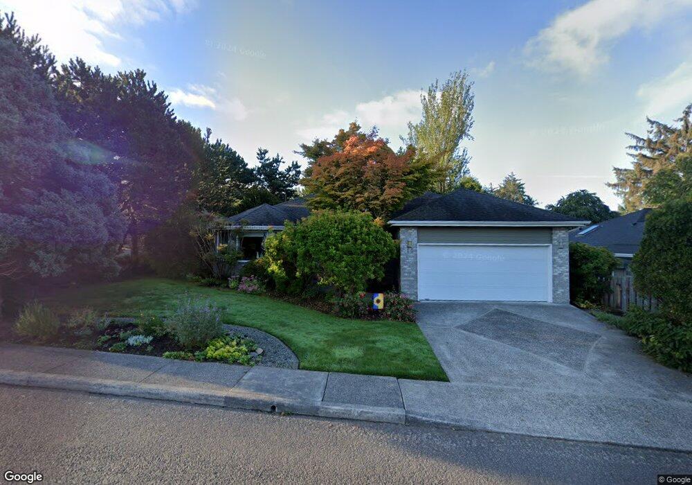
1520 Cooper St Seaside, OR 97138
Estimated Value: $509,000 - $570,000
2
Beds
2
Baths
1,700
Sq Ft
$313/Sq Ft
Est. Value
About This Home
This home is located at 1520 Cooper St, Seaside, OR 97138 and is currently estimated at $531,734, approximately $312 per square foot. 1520 Cooper St is a home located in Clatsop County with nearby schools including Seaside High School.
Ownership History
Date
Name
Owned For
Owner Type
Purchase Details
Closed on
Sep 1, 2005
Sold by
Holmes Nancy A
Bought by
Holmes Nancy A and Nancy A Holmes 1990 Revocable Living Tr
Current Estimated Value
Purchase Details
Closed on
Feb 22, 2005
Sold by
Ridgeway Freddie L and Ridgeway Barbara L
Bought by
Holmes Nancy A
Home Financials for this Owner
Home Financials are based on the most recent Mortgage that was taken out on this home.
Original Mortgage
$130,000
Outstanding Balance
$65,548
Interest Rate
5.73%
Mortgage Type
Fannie Mae Freddie Mac
Estimated Equity
$466,186
Create a Home Valuation Report for This Property
The Home Valuation Report is an in-depth analysis detailing your home's value as well as a comparison with similar homes in the area
Purchase History
| Date | Buyer | Sale Price | Title Company |
|---|---|---|---|
| Holmes Nancy A | -- | -- | |
| Holmes Nancy A | $263,000 | Ticor Title Ins Co |
Source: Public Records
Mortgage History
| Date | Status | Borrower | Loan Amount |
|---|---|---|---|
| Open | Holmes Nancy A | $130,000 |
Source: Public Records
Tax History
| Year | Tax Paid | Tax Assessment Tax Assessment Total Assessment is a certain percentage of the fair market value that is determined by local assessors to be the total taxable value of land and additions on the property. | Land | Improvement |
|---|---|---|---|---|
| 2025 | $5,072 | $352,931 | -- | -- |
| 2024 | $4,922 | $342,652 | -- | -- |
| 2023 | $4,777 | $332,673 | $0 | $0 |
| 2022 | $4,647 | $322,984 | $0 | $0 |
| 2021 | $4,548 | $313,578 | $0 | $0 |
| 2020 | $4,330 | $304,446 | $0 | $0 |
| 2019 | $4,217 | $295,580 | $0 | $0 |
Source: Public Records
Map
Nearby Homes
- 0 Spruce Dr Unit 682748764
- 0 Way
- VL Spruce Dr
- 1295 Jeffrey Dr
- 1659 Whispering Pines Dr
- 360 Hilltop Dr
- 1151 S Irvine Place
- 1265 Avenue D
- 85863 Highway 101
- 1269 Avenue D
- 0 Avenue S Unit Lot 29W
- 0 Avenue S Unit Lot 29E
- 0 Avenue S
- 84800 U S 101
- 1108 S Holladay Dr Unit 14
- 1108 S Holladay Dr Unit 16
- 1108 S Holladay Dr
- Vacant Alpine St
- 0 Alpine St Unit 601537278
- 720 740 Avenue G
- 1500 Cooper St
- 1620 Huckleberry Dr
- 1632 Cooper St
- 1640 Huckleberry Dr
- 1619 Huckleberry Dr
- 1620 Cooper St
- 0 Cooper St Unit 8-370
- 0 Cooper St Unit 8-458
- 0 Cooper St Unit 8-709
- 0 Cooper St Unit 9-2
- 0 Cooper St Unit 8-1177
- 0 Cooper St Unit 9-1640
- 0 Cooper St Unit 11-645
- 0 Cooper St Unit 2 21231943
- 0 Cooper St Unit TL308 11687454
- 0 Cooper St
- Adj 1644 Cooper St
- 1660 Huckleberry Dr
- 1639 Huckleberry Dr
- 1659 Huckleberry Dr
Your Personal Tour Guide
Ask me questions while you tour the home.