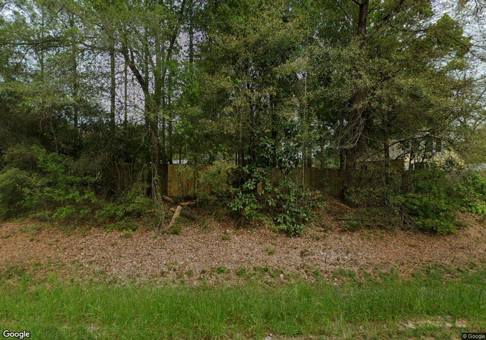
1520 County Highway 183 N Defuniak Springs, FL 32433
Estimated Value: $160,000 - $207,629
3
Beds
1
Bath
1,020
Sq Ft
$185/Sq Ft
Est. Value
About This Home
This home is located at 1520 County Highway 183 N, Defuniak Springs, FL 32433 and is currently estimated at $189,157, approximately $185 per square foot. 1520 County Highway 183 N is a home located in Walton County with nearby schools including West Defuniak Elementary School, Maude Saunders Elementary School, and Walton Middle School.
Ownership History
Date
Name
Owned For
Owner Type
Purchase Details
Closed on
Jul 3, 2013
Sold by
Secretary Of Housing & Urban Development
Bought by
Trawick Tony Neil and Trawick Nina Elizabeth
Current Estimated Value
Purchase Details
Closed on
Oct 22, 2012
Sold by
Underhill Paul
Bought by
Wells Fargo Bank Na
Purchase Details
Closed on
Oct 12, 2012
Sold by
Wells Fargo Bank Na
Bought by
Secretary Of Housing & Urban Development
Purchase Details
Closed on
Mar 2, 2005
Sold by
Magarine Carol and Hulett Mildred
Bought by
Magarine Carol
Create a Home Valuation Report for This Property
The Home Valuation Report is an in-depth analysis detailing your home's value as well as a comparison with similar homes in the area
Home Values in the Area
Average Home Value in this Area
Purchase History
| Date | Buyer | Sale Price | Title Company |
|---|---|---|---|
| Trawick Tony Neil | $65,000 | None Available | |
| Wells Fargo Bank Na | $5,700 | None Available | |
| Secretary Of Housing & Urban Development | -- | New House Title Llc | |
| Magarine Carol | -- | -- |
Source: Public Records
Tax History Compared to Growth
Tax History
| Year | Tax Paid | Tax Assessment Tax Assessment Total Assessment is a certain percentage of the fair market value that is determined by local assessors to be the total taxable value of land and additions on the property. | Land | Improvement |
|---|---|---|---|---|
| 2024 | $347 | $60,861 | -- | -- |
| 2023 | $347 | $59,088 | $0 | $0 |
| 2022 | $346 | $57,367 | $0 | $0 |
| 2021 | $351 | $55,696 | $0 | $0 |
| 2020 | $356 | $72,922 | $41,000 | $31,922 |
| 2019 | $348 | $53,692 | $0 | $0 |
| 2018 | $344 | $52,691 | $0 | $0 |
| 2017 | $345 | $52,618 | $22,000 | $30,618 |
| 2016 | $345 | $52,101 | $0 | $0 |
| 2015 | $347 | $51,739 | $0 | $0 |
| 2014 | $353 | $52,141 | $0 | $0 |
Source: Public Records
Map
Nearby Homes
- 0 Lot 49 Unit O&P U8186139
- 900 N Norwood Rd
- TBD County Highway 183 N
- 83 & 90 Shelter Rd
- 301 German Club Rd
- 180 S Norwood Rd
- 81 Lolley Ln
- 102 Alice Dr
- TBD Constitution Ave
- 39 Will Kelly Ave
- 891 Dorsey Ave
- 253 Argyle Church Rd
- 101 Malloy Ln
- 338 Railroad St
- xxx Rail Road St
- TBD Old Landfill Rd
- 841 N 1st St
- Lot 2 Texaco St
- Lot 1 Texaco St
- .47ac. Jordan St
- 1520 Kidd Rd
- 131 Spring Lake Rd
- 281 Spring Lake Rd
- 325 Spring Lake Rd
- 158 Spring Lake Rd
- 833 Spring Lake Rd
- 675 Spring Lake Rd
- 322 Spring Lake Rd
- 1890 County Highway 183 N
- 333 Tom Martin Rd
- xx Spring Lake Rd
- 3098 Spring Lake Rd
- 1927 County Highway 183 N
- 362 Spring Lake Rd
- 563 Spring Lake Rd
- Lot 49 O&P Spring Lake Rd
- Lot 49 Q&R Spring Lake Rd
- 0010 Spring Lake Rd
- 00 Spring Lake Rd
- 3075 Spring Lake Rd
