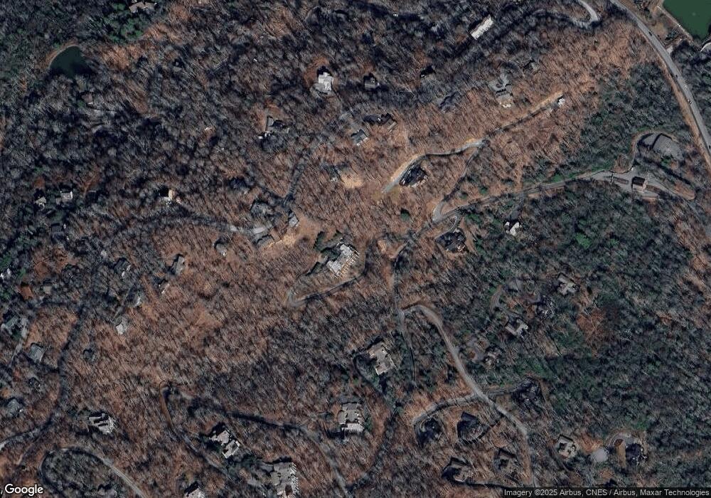
1520 Cranberry Cove Dr Banner Elk, NC 28278
Estimated Value: $1,136,000 - $2,842,000
4
Beds
4
Baths
3,762
Sq Ft
$591/Sq Ft
Est. Value
About This Home
This home is located at 1520 Cranberry Cove Dr, Banner Elk, NC 28278 and is currently estimated at $2,225,007, approximately $591 per square foot. 1520 Cranberry Cove Dr is a home with nearby schools including Banner Elk Elementary School, Avery Middle School, and Avery County High School.
Ownership History
Date
Name
Owned For
Owner Type
Purchase Details
Closed on
Sep 9, 2024
Sold by
Furr David M
Bought by
Bozeman Brett Alan and Powell Janice L
Current Estimated Value
Purchase Details
Closed on
Sep 26, 2011
Sold by
Scottsdale Co
Bought by
Furr David M and Furr Pamela K
Home Financials for this Owner
Home Financials are based on the most recent Mortgage that was taken out on this home.
Original Mortgage
$836,250
Interest Rate
4.12%
Mortgage Type
Adjustable Rate Mortgage/ARM
Create a Home Valuation Report for This Property
The Home Valuation Report is an in-depth analysis detailing your home's value as well as a comparison with similar homes in the area
Home Values in the Area
Average Home Value in this Area
Purchase History
| Date | Buyer | Sale Price | Title Company |
|---|---|---|---|
| Bozeman Brett Alan | $2,600,000 | None Listed On Document | |
| Furr David M | $1,115,000 | None Available |
Source: Public Records
Mortgage History
| Date | Status | Borrower | Loan Amount |
|---|---|---|---|
| Previous Owner | Furr David M | $836,250 |
Source: Public Records
Tax History Compared to Growth
Tax History
| Year | Tax Paid | Tax Assessment Tax Assessment Total Assessment is a certain percentage of the fair market value that is determined by local assessors to be the total taxable value of land and additions on the property. | Land | Improvement |
|---|---|---|---|---|
| 2024 | $3,310 | $827,500 | $100,000 | $727,500 |
| 2023 | $3,310 | $827,500 | $100,000 | $727,500 |
| 2022 | $3,310 | $827,500 | $100,000 | $727,500 |
| 2021 | $3,681 | $669,300 | $150,000 | $519,300 |
| 2020 | $3,681 | $669,300 | $150,000 | $519,300 |
| 2019 | $3,681 | $669,300 | $150,000 | $519,300 |
| 2018 | $3,681 | $669,300 | $150,000 | $519,300 |
| 2017 | $5,129 | $932,500 | $0 | $0 |
| 2016 | $4,170 | $932,500 | $0 | $0 |
| 2015 | $4,170 | $932,500 | $187,500 | $745,000 |
| 2012 | -- | $1,283,100 | $300,000 | $983,100 |
Source: Public Records
Map
Nearby Homes
- 1222 Cranberry Ridge
- 150 Squirrel Corn Ln
- 174 Grouse Moor Dr Unit 8
- 174 Grouse Moor Dr Unit 2
- 393 Green Cove Rd
- 126 Rock Spring Cir
- 110 Forest Run
- Lot 77 Rock Spring Cir
- 395 Cross Park Drives
- 251 Mossy Creek Ln
- 197 Rock Ledge Ln
- Lot B Tyneridge Dr
- TBD Grouse Moor Dr Unit LOT 152
- 1040 Sugar Mountain Dr Unit D-21
- Lot 35 Tynecastle Dr
- 118 Linville River Dr
- 388 Skyleaf Dr Unit B-12
- Lot 11 Linville River Dr
- Lot 9 Trillium Ln
- Lot 42 Linville River Ln
- 1519 Cranberry Cove Dr
- 491 Grouse Moor Dr
- 547 Grouse Moor Dr
- 1201 Cranberry Cove Dr
- 1201 Cranberry Cove Dr
- 130 Squirrel Corn Ln
- 577 Grouse Moor Dr
- 117 Green Cove Rd
- 1518 Cranberry Cove Dr
- 135 Green Cove Rd
- 486 Grouse Moor Dr
- 1217 Cranapple Ct
- 1218 Cranapple Ct
- 1211 Cranberry Trail Unit 12
- 1202 Cranberry Cove Dr
- 436 Grouse Moor Dr
- 605 Grouse Moor Dr
- 114 Bridle Spur Ln
- 184 Bridle Spur Ln
- 108 Bridle Spur Ln
