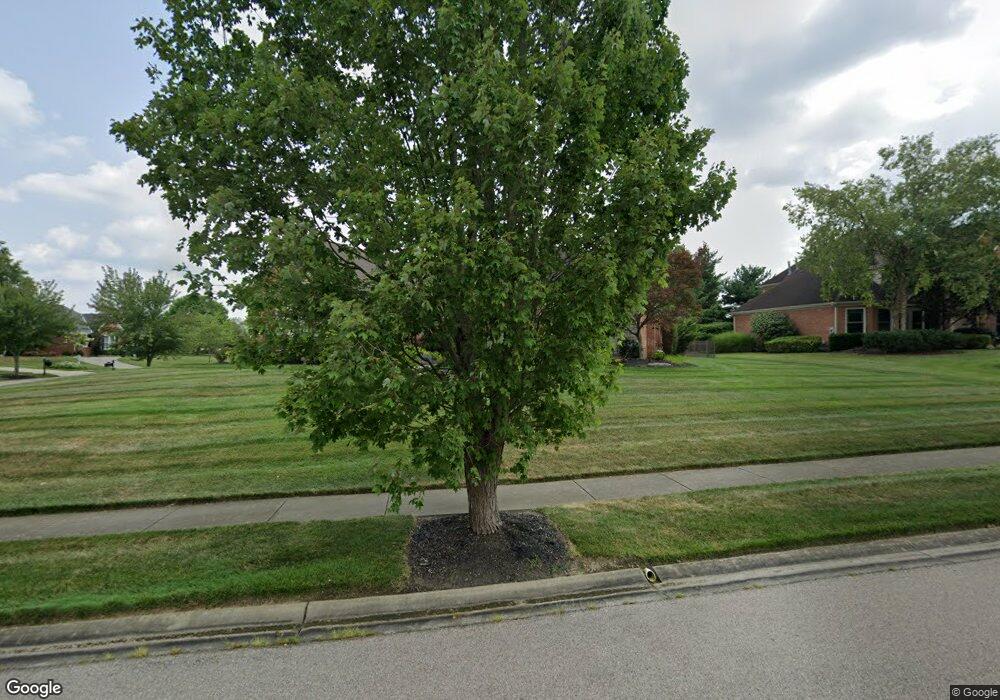
1520 Crown Point Ln Loveland, OH 45140
Outer Loveland NeighborhoodEstimated Value: $661,899 - $796,000
3
Beds
4
Baths
2,764
Sq Ft
$266/Sq Ft
Est. Value
About This Home
This home is located at 1520 Crown Point Ln, Loveland, OH 45140 and is currently estimated at $734,225, approximately $265 per square foot. 1520 Crown Point Ln is a home located in Clermont County with nearby schools including Loveland Primary School, Loveland Elementary School, and Loveland Intermediate School.
Ownership History
Date
Name
Owned For
Owner Type
Purchase Details
Closed on
Sep 2, 2005
Sold by
Mcpherron John P and Mcpherron Lisa N
Bought by
Beckett Brenda A
Current Estimated Value
Home Financials for this Owner
Home Financials are based on the most recent Mortgage that was taken out on this home.
Original Mortgage
$344,000
Outstanding Balance
$185,888
Interest Rate
6.01%
Mortgage Type
Fannie Mae Freddie Mac
Estimated Equity
$548,338
Purchase Details
Closed on
Feb 27, 2002
Sold by
Vent Hines - Griffin Joint
Bought by
Mcpherron John P and Mcpherron Lisa N
Home Financials for this Owner
Home Financials are based on the most recent Mortgage that was taken out on this home.
Original Mortgage
$214,000
Interest Rate
6.92%
Mortgage Type
New Conventional
Create a Home Valuation Report for This Property
The Home Valuation Report is an in-depth analysis detailing your home's value as well as a comparison with similar homes in the area
Home Values in the Area
Average Home Value in this Area
Purchase History
| Date | Buyer | Sale Price | Title Company |
|---|---|---|---|
| Beckett Brenda A | $430,000 | -- | |
| Mcpherron John P | $69,000 | -- |
Source: Public Records
Mortgage History
| Date | Status | Borrower | Loan Amount |
|---|---|---|---|
| Open | Beckett Brenda A | $344,000 | |
| Previous Owner | Mcpherron John P | $214,000 |
Source: Public Records
Tax History Compared to Growth
Tax History
| Year | Tax Paid | Tax Assessment Tax Assessment Total Assessment is a certain percentage of the fair market value that is determined by local assessors to be the total taxable value of land and additions on the property. | Land | Improvement |
|---|---|---|---|---|
| 2024 | $9,178 | $181,340 | $38,220 | $143,120 |
| 2023 | $9,345 | $181,340 | $38,220 | $143,120 |
| 2022 | $7,921 | $128,910 | $30,800 | $98,110 |
| 2021 | $7,934 | $128,910 | $30,800 | $98,110 |
| 2020 | $7,957 | $128,910 | $30,800 | $98,110 |
| 2019 | $7,969 | $122,120 | $30,660 | $91,460 |
| 2018 | $8,025 | $122,120 | $30,660 | $91,460 |
| 2017 | $8,198 | $122,120 | $30,660 | $91,460 |
| 2016 | $8,320 | $118,550 | $29,750 | $88,800 |
| 2015 | $7,993 | $118,550 | $29,750 | $88,800 |
| 2014 | $7,869 | $118,550 | $29,750 | $88,800 |
| 2013 | $7,535 | $119,980 | $26,950 | $93,030 |
Source: Public Records
Map
Nearby Homes
- 6557 Oasis Dr
- 1209 Red Roan Dr
- 955 Paul Vista Dr
- 962 Paul Vista Dr
- 1122 Black Horse Run
- 6881 Paxton Rd
- 6469 Brittany Ln
- 6690 Morgans Run
- 802 Andrea Dr
- 920 Blue Heron Ln
- 6646 Gentlewind Ct
- 1402 Miami Lake Dr
- 100 Colonial Dr
- 762 Wards Corner Rd
- 1516 Woodstrail Ln
- Lot 1009 Zoar Rd
- 322 Turtle Creek Dr
- 3265 Charles Snider
- 3269 Charles Snider
- 8 Trailside Estates
- 1518 Crown Point Ln
- 6580 Oasis Dr
- 1521 Crown Point Ln
- 6579 Oasis Dr
- 6581 Oasis Dr
- 1519 Crown Point Ln
- 6577 Oasis Dr
- 1516 Crown Point Ln
- 6582 Oasis Dr
- 6575 Oasis Dr
- 1517 Crown Point Ln
- 6574 Oasis Dr
- 1515 Crown Point Ln
- 6584 Oasis Dr
- 6573 Oasis Dr
- 6572 Oasis Dr
- 6571 Oasis Dr
- 6586 Oasis Dr
- 6570 Oasis Dr
- 6569 Oasis Dr
