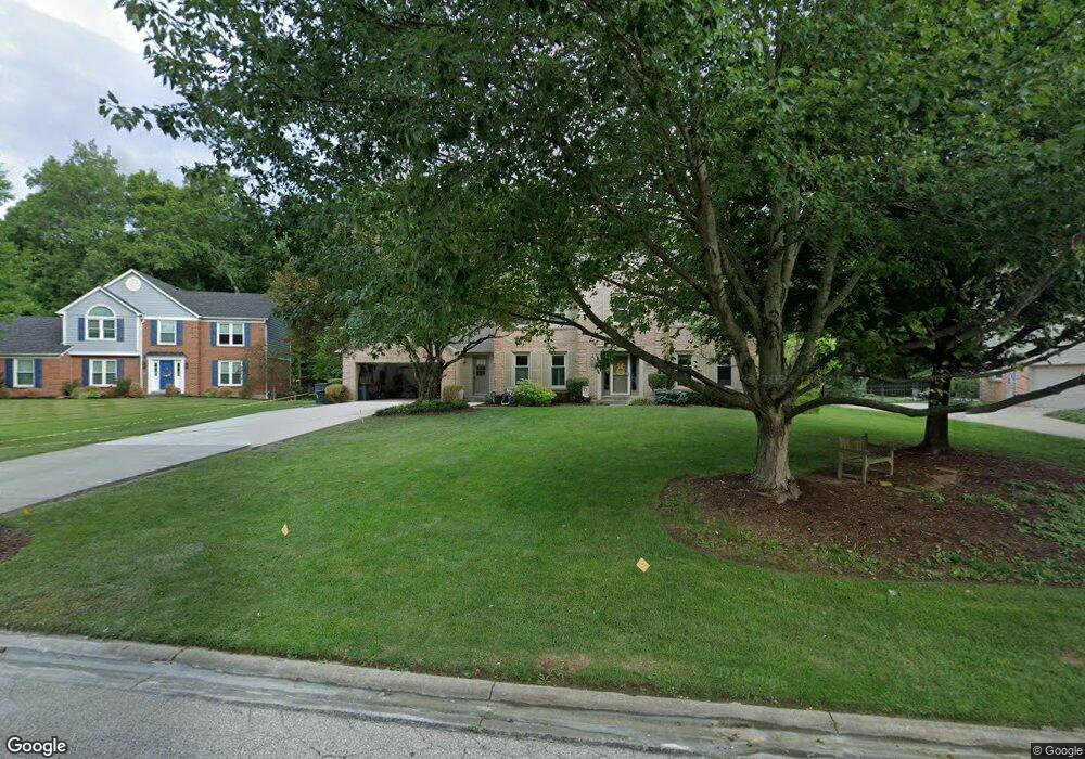
1520 Georgetown Rd Loveland, OH 45140
Outer Loveland NeighborhoodEstimated Value: $460,000 - $511,000
4
Beds
3
Baths
2,466
Sq Ft
$198/Sq Ft
Est. Value
About This Home
This home is located at 1520 Georgetown Rd, Loveland, OH 45140 and is currently estimated at $488,356, approximately $198 per square foot. 1520 Georgetown Rd is a home located in Clermont County with nearby schools including Milford Senior High School, Milford Christian Academy, and St. Andrew - St. Elizabeth Ann Seton School.
Ownership History
Date
Name
Owned For
Owner Type
Purchase Details
Closed on
Mar 1, 2018
Sold by
Bingham David J and Bingham Laureen B
Bought by
Bingham Trust
Current Estimated Value
Purchase Details
Closed on
Mar 1, 1999
Sold by
Penner Leon W
Bought by
Bingham David J and Bingham Laureen B
Home Financials for this Owner
Home Financials are based on the most recent Mortgage that was taken out on this home.
Original Mortgage
$197,250
Interest Rate
6.92%
Mortgage Type
New Conventional
Purchase Details
Closed on
May 5, 1994
Purchase Details
Closed on
Nov 1, 1989
Create a Home Valuation Report for This Property
The Home Valuation Report is an in-depth analysis detailing your home's value as well as a comparison with similar homes in the area
Home Values in the Area
Average Home Value in this Area
Purchase History
| Date | Buyer | Sale Price | Title Company |
|---|---|---|---|
| Bingham Trust | -- | -- | |
| Bingham David J | $215,000 | -- | |
| -- | $198,000 | -- | |
| -- | $168,500 | -- |
Source: Public Records
Mortgage History
| Date | Status | Borrower | Loan Amount |
|---|---|---|---|
| Previous Owner | Bingham David J | $197,250 |
Source: Public Records
Tax History Compared to Growth
Tax History
| Year | Tax Paid | Tax Assessment Tax Assessment Total Assessment is a certain percentage of the fair market value that is determined by local assessors to be the total taxable value of land and additions on the property. | Land | Improvement |
|---|---|---|---|---|
| 2024 | $6,255 | $130,550 | $21,910 | $108,640 |
| 2023 | $6,318 | $130,550 | $21,910 | $108,640 |
| 2022 | $5,966 | $93,910 | $15,750 | $78,160 |
| 2021 | $5,965 | $93,910 | $15,750 | $78,160 |
| 2020 | $5,721 | $93,910 | $15,750 | $78,160 |
| 2019 | $5,824 | $90,800 | $17,960 | $72,840 |
| 2018 | $5,836 | $90,800 | $17,960 | $72,840 |
| 2017 | $5,770 | $90,800 | $17,960 | $72,840 |
| 2016 | $5,654 | $79,630 | $15,750 | $63,880 |
| 2015 | $5,135 | $79,630 | $15,750 | $63,880 |
| 2014 | $5,135 | $79,630 | $15,750 | $63,880 |
| 2013 | $4,769 | $71,720 | $17,500 | $54,220 |
Source: Public Records
Map
Nearby Homes
- 1513 Charleston Ln
- 6379 Derbyshire Ln
- 1146 Clover Field Dr
- 1113 Clover Field Dr
- 5937 Firm Stance Dr
- 6149 Century Farm Dr
- 1152 Diekmeyer Ln
- 1331 Harbor Cove
- 1140 Weber Rd
- 2013 Weber Rd
- 899 Murle Ln
- 1809 Wheatfield Way
- 962 Paul Vista Dr
- 802 Andrea Dr
- 6469 Brittany Ln
- 709 Middleton Way
- 1803 Wheatfield Way
- 955 Paul Vista Dr
- 6211 Spires Dr
- 5893 Meadow Lark Ct
- 1522 Georgetown Rd
- 6345 Dustywind Ln
- 8329 Dustywind Ln
- 1524 Georgetown Rd
- 6343 Dustywind Ln
- 6344 Dustywind Ln
- 6341 Barrington Cir
- 1526 Georgetown Rd
- 6448 Paxton Woods Dr
- 1525 Georgetown Rd
- 6447 Paxton Woods Dr
- 6342 Dustywind Ln
- 1517 Charleston Ln
- 6445 Paxton Woods Dr
- 1528 Georgetown Rd
- 6444 Paxton Woods Dr
- 6337 Greensboro Ct
- 6336 Barrington Cir
- 1723 Old Farm Dr
- 1514 Charleston Ln