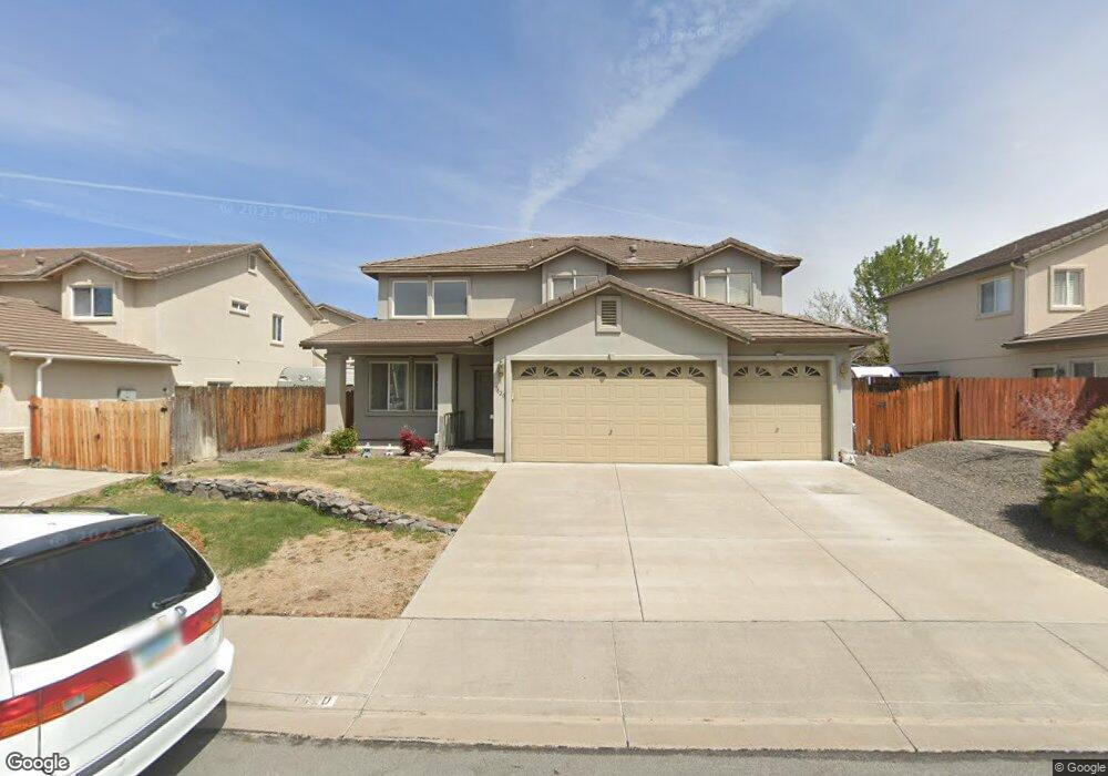
1520 Istrice Rd Sparks, NV 89436
Los Altos Parkway NeighborhoodEstimated Value: $626,042 - $695,000
3
Beds
3
Baths
2,778
Sq Ft
$236/Sq Ft
Est. Value
About This Home
This home is located at 1520 Istrice Rd, Sparks, NV 89436 and is currently estimated at $655,761, approximately $236 per square foot. 1520 Istrice Rd is a home located in Washoe County with nearby schools including Bud Beasley Elementary School, Edward C Reed High School, and Excel Christian School.
Ownership History
Date
Name
Owned For
Owner Type
Purchase Details
Closed on
Apr 1, 2025
Sold by
Deang Frederick V and Deang Marilou C
Bought by
Deang Living Trust and Deang
Current Estimated Value
Purchase Details
Closed on
Jan 7, 2004
Sold by
C & M Properties Llc
Bought by
Deang Frederick V and Deang Marilou C
Home Financials for this Owner
Home Financials are based on the most recent Mortgage that was taken out on this home.
Original Mortgage
$241,550
Interest Rate
6.02%
Mortgage Type
Unknown
Create a Home Valuation Report for This Property
The Home Valuation Report is an in-depth analysis detailing your home's value as well as a comparison with similar homes in the area
Home Values in the Area
Average Home Value in this Area
Purchase History
| Date | Buyer | Sale Price | Title Company |
|---|---|---|---|
| Deang Living Trust | -- | None Listed On Document | |
| Deang Frederick V | $303,000 | Stewart Title Of Northern Nv |
Source: Public Records
Mortgage History
| Date | Status | Borrower | Loan Amount |
|---|---|---|---|
| Previous Owner | Deang Frederick V | $241,550 | |
| Closed | Deang Frederick V | $60,600 |
Source: Public Records
Tax History Compared to Growth
Tax History
| Year | Tax Paid | Tax Assessment Tax Assessment Total Assessment is a certain percentage of the fair market value that is determined by local assessors to be the total taxable value of land and additions on the property. | Land | Improvement |
|---|---|---|---|---|
| 2025 | $3,413 | $145,132 | $38,271 | $106,861 |
| 2024 | $3,413 | $139,804 | $32,186 | $107,618 |
| 2023 | $3,315 | $138,260 | $36,509 | $101,751 |
| 2022 | $3,221 | $114,707 | $30,158 | $84,550 |
| 2021 | $3,129 | $110,370 | $26,035 | $84,335 |
| 2020 | $2,930 | $109,198 | $24,738 | $84,460 |
| 2019 | $2,844 | $105,152 | $24,372 | $80,780 |
| 2018 | $2,762 | $96,377 | $17,456 | $78,921 |
| 2017 | $2,681 | $95,461 | $16,459 | $79,002 |
| 2016 | $2,612 | $95,306 | $15,461 | $79,845 |
| 2015 | $2,610 | $93,203 | $13,732 | $79,471 |
| 2014 | $2,433 | $84,347 | $11,405 | $72,942 |
| 2013 | -- | $67,631 | $8,845 | $58,786 |
Source: Public Records
Map
Nearby Homes
- 1550 Istrice Rd
- 1560 Freeman Way
- 4675 Firtree Ln
- 1685 Southview Dr
- 4393 Acobat Ct
- 4788 Ravello Dr
- 1484 Serendipity Ct
- 1215 Ebling Dr
- 1388 Lambrays Ln
- 5105 Santa Anita Dr
- 1304 Lambrusca Dr
- 1850 Almonte Ct
- 5276 Santa Rosa Ave
- 4515 Whitney Cir
- 1716 Canyon Terrace Dr
- 4748 Pradera St
- 1557 Satellite Dr
- 1357 Silver View Cir
- 1475 Golddust Dr
- 4383 Setting Sun Ct Unit 1
- 1530 Istrice Rd
- 1510 Istrice Rd
- 4812 Santa Barbara Ave
- 4815 Deedee Way
- 4818 Santa Barbara Ave
- 1515 Istrice Rd
- 1525 Istrice Rd
- 4821 Deedee Way
- 1535 Istrice Rd
- 1505 Istrice Rd
- 4824 Santa Barbara Ave
- 1545 Istrice Rd
- 4827 Deedee Way
- 4805 Santa Barbara Ave
- 4811 Santa Barbara Ave
- 1495 Istrice Rd
- 4816 Deedee Way
- 4817 Santa Barbara Ave
- 4822 Deedee Way
- 1555 Istrice Rd