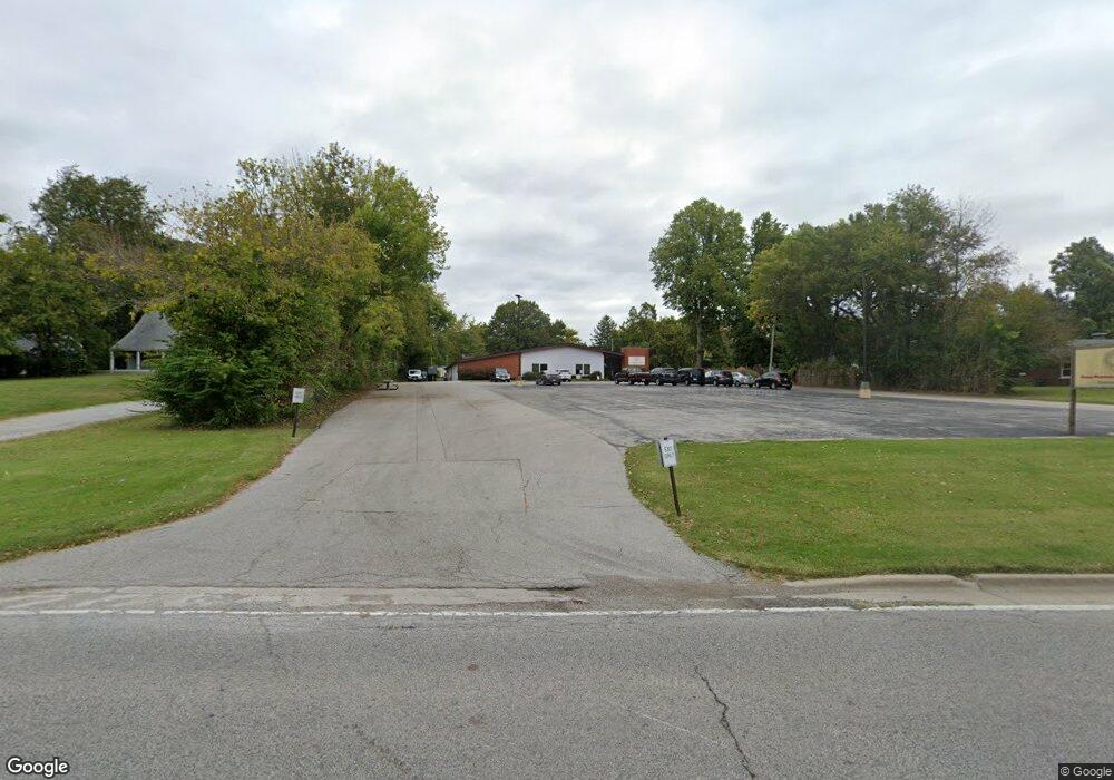
1520 Mascoutah Ave Belleville, IL 62220
Estimated Value: $870,586
--
Bed
--
Bath
8,454
Sq Ft
$103/Sq Ft
Est. Value
About This Home
This home is located at 1520 Mascoutah Ave, Belleville, IL 62220 and is currently estimated at $870,586, approximately $102 per square foot. 1520 Mascoutah Ave is a home located in St. Clair County with nearby schools including Belle Valley Elementary School-North, Zion Lutheran School Belleville, and Notre Dame Academy of Belleville.
Ownership History
Date
Name
Owned For
Owner Type
Purchase Details
Closed on
Apr 24, 2014
Sold by
Yociss David P
Bought by
Yociss David P and David P Yociss Declaration Of Trust
Current Estimated Value
Purchase Details
Closed on
Oct 30, 2001
Sold by
Yociss David P and Yociss Judith A
Bought by
Yociss David P and David P Yociss Declaration Of Trust
Create a Home Valuation Report for This Property
The Home Valuation Report is an in-depth analysis detailing your home's value as well as a comparison with similar homes in the area
Home Values in the Area
Average Home Value in this Area
Purchase History
| Date | Buyer | Sale Price | Title Company |
|---|---|---|---|
| Yociss David P | -- | None Available | |
| Yociss David P | -- | -- | |
| Yociss Judith A | -- | -- |
Source: Public Records
Tax History Compared to Growth
Tax History
| Year | Tax Paid | Tax Assessment Tax Assessment Total Assessment is a certain percentage of the fair market value that is determined by local assessors to be the total taxable value of land and additions on the property. | Land | Improvement |
|---|---|---|---|---|
| 2024 | $18,288 | $179,522 | $50,915 | $128,607 |
| 2023 | $18,516 | $175,159 | $49,906 | $125,253 |
| 2022 | $17,288 | $157,687 | $44,928 | $112,759 |
| 2021 | $16,669 | $145,777 | $41,535 | $104,242 |
| 2020 | $16,373 | $137,856 | $39,278 | $98,578 |
| 2019 | $21,720 | $180,277 | $39,341 | $140,936 |
| 2018 | $20,950 | $176,379 | $38,490 | $137,889 |
| 2017 | $10,514 | $175,139 | $38,220 | $136,919 |
| 2016 | $20,374 | $171,419 | $37,408 | $134,011 |
| 2014 | $7,133 | $133,199 | $25,480 | $107,719 |
| 2013 | $13,661 | $135,104 | $25,844 | $109,260 |
Source: Public Records
Map
Nearby Homes
- 18 Rusty Wil Dr
- 1105 Dawn Dr
- 16 Rusty Wil Dr
- 939 Green Mount Ln
- 959 Green Mount Ln
- 963 Green Mount Ln
- 1007 Forest Ave
- 1150 Lilac Dr
- 971 Green Mount Ln
- 000 S Douglas Ave
- 328 S Pennsylvania Ave
- 3335 Dovershire Dr
- 650 Fort Henry Rd
- 3509 Fox Valley Ln
- 3505 Fox Valley Ln
- 3501 Fox Valley Ln
- 3429 Fox Valley Ln
- 3425 Fox Valley Ln
- 3421 Fox Valley Ln
- 2000 Wexford Green Way
- 729 S Pennsylvania Ave
- 1500 Mascoutah Ave
- 719 S Pennsylvania Ave
- 1530 Mascoutah Ave
- 726 S Pennsylvania Ave
- 732 S Pennsylvania Ave
- 720 S Pennsylvania Ave
- 740 S Pennsylvania Ave
- 714 S Pennsylvania Ave
- 1600 Mascoutah Ave
- 1410 Mascoutah Ave
- 705 S Pennsylvania Ave
- 735 S Virginia Ave
- 1501 Mascoutah Ave
- 803 S Virginia Ave
- 710 S Pennsylvania Ave
- 731 S Virginia Ave
- 1415 Mascoutah Ave
- 805 S Virginia Ave
- 1608 Mascoutah Ave