1520 Mount Ulla Hwy Mount Ulla, NC 28125
Estimated Value: $476,000 - $530,752
3
Beds
3
Baths
2,078
Sq Ft
$243/Sq Ft
Est. Value
About This Home
This home is located at 1520 Mount Ulla Hwy, Mount Ulla, NC 28125 and is currently estimated at $505,438, approximately $243 per square foot. 1520 Mount Ulla Hwy is a home with nearby schools including Shepherd Elementary School, Lakeshore Middle School, and South Iredell High School.
Ownership History
Date
Name
Owned For
Owner Type
Purchase Details
Closed on
Jan 31, 2014
Sold by
Mcconnell Jonathan C and Mcconnell Amy
Bought by
Mcconnell Jonathan G and Mcconnell Amy
Current Estimated Value
Home Financials for this Owner
Home Financials are based on the most recent Mortgage that was taken out on this home.
Original Mortgage
$225,250
Outstanding Balance
$174,039
Interest Rate
4.56%
Mortgage Type
Construction
Estimated Equity
$331,399
Purchase Details
Closed on
Jun 1, 1974
Create a Home Valuation Report for This Property
The Home Valuation Report is an in-depth analysis detailing your home's value as well as a comparison with similar homes in the area
Home Values in the Area
Average Home Value in this Area
Purchase History
| Date | Buyer | Sale Price | Title Company |
|---|---|---|---|
| Mcconnell Jonathan G | -- | None Available | |
| -- | $15,000 | -- |
Source: Public Records
Mortgage History
| Date | Status | Borrower | Loan Amount |
|---|---|---|---|
| Open | Mcconnell Jonathan G | $225,250 |
Source: Public Records
Tax History Compared to Growth
Tax History
| Year | Tax Paid | Tax Assessment Tax Assessment Total Assessment is a certain percentage of the fair market value that is determined by local assessors to be the total taxable value of land and additions on the property. | Land | Improvement |
|---|---|---|---|---|
| 2024 | $1,500 | $436,740 | $85,360 | $351,380 |
| 2023 | $1,500 | $436,740 | $85,360 | $351,380 |
| 2022 | $2,000 | $414,790 | $77,600 | $337,190 |
| 2021 | $2,659 | $414,790 | $77,600 | $337,190 |
| 2020 | $2,659 | $414,790 | $77,600 | $337,190 |
| 2019 | $2,534 | $414,790 | $77,600 | $337,190 |
| 2018 | $2,161 | $352,950 | $46,560 | $306,390 |
| 2017 | $2,161 | $352,950 | $46,560 | $306,390 |
| 2016 | $1,967 | $320,550 | $46,560 | $273,990 |
| 2015 | $1,967 | $320,550 | $46,560 | $273,990 |
| 2014 | $258 | $46,560 | $46,560 | $0 |
Source: Public Records
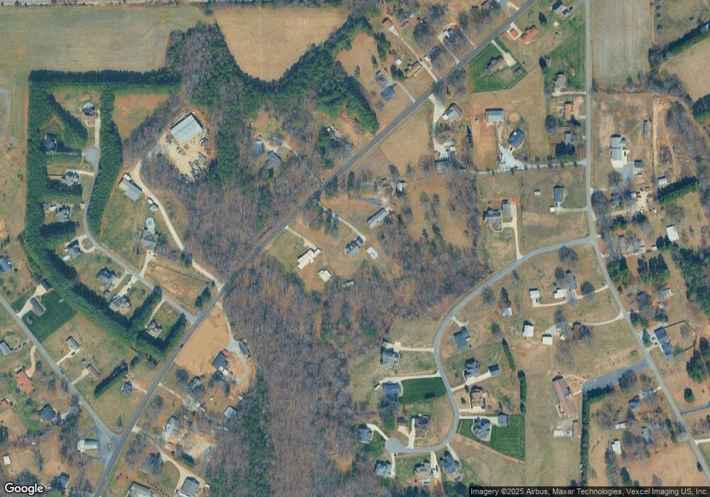
Map
Nearby Homes
- 175 Savannah Crossing Dr
- 1211 Mt Ulla Hwy None
- 143 Jentri Way
- Daffodil Plan at Brownstone Ridge
- Gardenia Plan at Brownstone Ridge
- Kensington Plan at Brownstone Ridge
- Townsend Plan at Brownstone Ridge
- Bridgeport Plan at Brownstone Ridge
- 126 Jentri Way Unit 19
- 795 French Belk Rd
- 121 Jentri Way
- 267 Winthrow Creek Rd
- 113 Jentri Way
- 105 Jentri Way
- 114 Jentri Way
- 112 Jentri Way
- 139 Gleniris Trail
- 154 Nicholson Ln
- 158 Nicholson Ln
- 223 Scottish Dr
- 1578 Mount Ulla Hwy
- 1528 Mount Ulla Hwy
- 1558 Mount Ulla Hwy
- 1559 Mount Ulla Hwy
- 1563 Mount Ulla Hwy
- 1563 Mount Ulla Hwy
- 1535 Mount Ulla Hwy
- 1569 Mount Ulla Hwy
- 1570 Mount Ulla Hwy
- 144 Wiggins Rd
- 116 Savannah Crossing Dr
- 1579 Mount Ulla Hwy
- 1523 Mount Ulla Hwy
- 132 Wiggins Rd
- 126 Wiggins Rd
- 140 Wiggins Rd
- 10.21 Prelude Dr
- 152 Wiggins Rd
- 00 Savannah Crossing Dr
- 143 Wiggins Rd