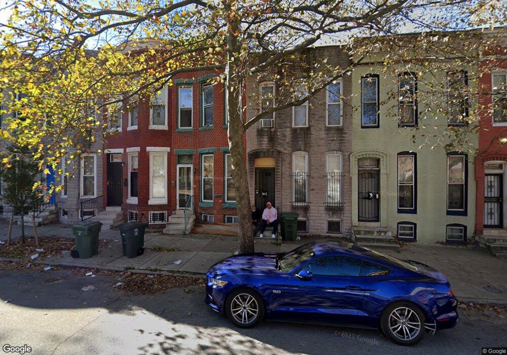
1520 N Mount St Baltimore, MD 21217
Sandtown-Winchester NeighborhoodEstimated Value: $80,000
--
Bed
--
Bath
--
Sq Ft
1,045
Sq Ft Lot
About This Home
This home is located at 1520 N Mount St, Baltimore, MD 21217 and is currently estimated at $80,000. 1520 N Mount St is a home located in Baltimore City with nearby schools including Matthew A. Henson Elementary School, Booker T. Washington Middle School, and Frederick Douglass High School.
Ownership History
Date
Name
Owned For
Owner Type
Purchase Details
Closed on
Jan 23, 2019
Sold by
Exr Llc
Bought by
Coates Wanisha Dineice
Current Estimated Value
Purchase Details
Closed on
Nov 14, 2018
Sold by
Nationstar Reo Sub 1B Llc
Bought by
Exr Llc
Purchase Details
Closed on
Jun 14, 2018
Sold by
Swepson Rosalind J
Bought by
Nationstar Reo Sub 1B Llc
Purchase Details
Closed on
Nov 18, 2015
Sold by
Fieldcrest Limited Partnership
Bought by
Braverman William S and Braverman Ethel
Create a Home Valuation Report for This Property
The Home Valuation Report is an in-depth analysis detailing your home's value as well as a comparison with similar homes in the area
Home Values in the Area
Average Home Value in this Area
Purchase History
| Date | Buyer | Sale Price | Title Company |
|---|---|---|---|
| Coates Wanisha Dineice | $7,500 | Crown Title Corp | |
| Exr Llc | -- | Crown Title Corp | |
| Nationstar Reo Sub 1B Llc | $26,000 | None Available | |
| Braverman William S | $32,500 | None Available |
Source: Public Records
Tax History Compared to Growth
Tax History
| Year | Tax Paid | Tax Assessment Tax Assessment Total Assessment is a certain percentage of the fair market value that is determined by local assessors to be the total taxable value of land and additions on the property. | Land | Improvement |
|---|---|---|---|---|
| 2025 | $579 | $25,000 | $5,000 | $20,000 |
| 2024 | $579 | $24,667 | $0 | $0 |
| 2023 | $572 | $24,333 | $0 | $0 |
| 2022 | $142 | $6,000 | $2,000 | $4,000 |
| 2021 | $142 | $6,000 | $2,000 | $4,000 |
| 2020 | $130 | $6,000 | $2,000 | $4,000 |
| 2019 | $318 | $15,000 | $3,000 | $12,000 |
| 2018 | $324 | $15,000 | $3,000 | $12,000 |
| 2017 | $328 | $15,000 | $0 | $0 |
| 2016 | $383 | $15,000 | $0 | $0 |
| 2015 | $383 | $15,000 | $0 | $0 |
| 2014 | $383 | $15,000 | $0 | $0 |
Source: Public Records
Map
Nearby Homes
- 1718 Presstman St
- 1512 N Mount St
- 1517 N Fulton Ave
- 1511 N Fulton Ave
- 1719 Baker St
- 1428 N Mount St
- 1432 N Fulton Ave
- 1552 N Fulton Ave
- 1708 Lorman St
- 1718 Lorman St
- 1520 N Gilmor St
- 1619 N Fulton Ave
- 1637 N Fulton Ave
- 1519 N Monroe St
- 1710 Presbury St
- 1618 N Monroe St
- 1201 N Fulton Ave
- 1709 Mckean Ave
- 1631 Laurens St
- 1723 N Fulton Ave
- 1518 N Mount St
- 1516 N Mount St
- 1520 N Mount St
- 1514 N Mount St
- 1520 W North Ave
- 1522 N Mount St
- 1510 N Mount St
- 1524 N Mount St
- 1508 N Mount St
- 1526 N Mount St
- 1506 N Mount St
- 1531 N Bruce St
- 1519 N Bruce St
- 1528 N Mount St
- 1537 N Bruce St
- 1535 N Bruce St
- 1533 N Bruce St
- 1504 N Mount St
- 1517 N Bruce St
- 1530 N Mount St