1520 NE Paropa Ct Gresham, OR 97030
Northeast Gresham NeighborhoodEstimated Value: $170,983 - $181,000
2
Beds
1
Bath
798
Sq Ft
$221/Sq Ft
Est. Value
About This Home
This home is located at 1520 NE Paropa Ct, Gresham, OR 97030 and is currently estimated at $175,992, approximately $220 per square foot. 1520 NE Paropa Ct is a home located in Multnomah County with nearby schools including Hall Elementary School, Gordon Russell Middle School, and Sam Barlow High School.
Ownership History
Date
Name
Owned For
Owner Type
Purchase Details
Closed on
Feb 24, 2020
Sold by
Cole Robert Gene and Cole Marjie Lorraine
Bought by
Cole Wendy Mae
Current Estimated Value
Home Financials for this Owner
Home Financials are based on the most recent Mortgage that was taken out on this home.
Original Mortgage
$156,420
Outstanding Balance
$138,203
Interest Rate
3.6%
Mortgage Type
Commercial
Estimated Equity
$37,789
Purchase Details
Closed on
Jul 15, 2015
Sold by
Mcgrath Jon M
Bought by
Cole Robert Gene and Cole Marjie Lorraine
Home Financials for this Owner
Home Financials are based on the most recent Mortgage that was taken out on this home.
Original Mortgage
$45,000
Interest Rate
3.85%
Mortgage Type
Purchase Money Mortgage
Create a Home Valuation Report for This Property
The Home Valuation Report is an in-depth analysis detailing your home's value as well as a comparison with similar homes in the area
Home Values in the Area
Average Home Value in this Area
Purchase History
| Date | Buyer | Sale Price | Title Company |
|---|---|---|---|
| Cole Wendy Mae | $157,000 | Ticor Title | |
| Cole Robert Gene | $60,000 | Fidelity Natl Title Of Or |
Source: Public Records
Mortgage History
| Date | Status | Borrower | Loan Amount |
|---|---|---|---|
| Open | Cole Wendy Mae | $156,420 | |
| Previous Owner | Cole Robert Gene | $45,000 |
Source: Public Records
Tax History
| Year | Tax Paid | Tax Assessment Tax Assessment Total Assessment is a certain percentage of the fair market value that is determined by local assessors to be the total taxable value of land and additions on the property. | Land | Improvement |
|---|---|---|---|---|
| 2025 | $1,396 | $68,600 | -- | $68,600 |
| 2024 | $1,336 | $66,610 | -- | $66,610 |
| 2023 | $1,218 | $64,670 | $0 | $64,670 |
| 2022 | $1,184 | $62,790 | $0 | $0 |
| 2021 | $1,154 | $60,970 | $0 | $0 |
| 2020 | $1,086 | $59,200 | $0 | $0 |
| 2019 | $1,057 | $57,480 | $0 | $0 |
| 2018 | $1,008 | $55,810 | $0 | $0 |
| 2017 | $968 | $54,190 | $0 | $0 |
| 2016 | $853 | $52,620 | $0 | $0 |
Source: Public Records
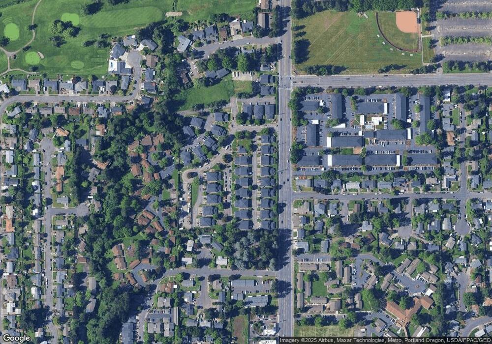
Map
Nearby Homes
- 1553 NE Hale Place Unit 1
- 1465 NE Kane Dr Unit 4
- 1480 NE Kane Dr
- 1350 NE Cochran Dr
- 2980 NE Division St Unit 31
- 2980 NE Division St Unit 13
- 2980 NE Division St Unit 43
- 912 NE Hacienda Ct Unit 916
- 2811 NE 6th St
- 4055 NE 13th Terrace
- 863 NE Fleming Ave Unit B10
- 1156 NE Paloma Ave
- 4117 NE 8th St Unit 9
- 445 NE Village Squire Ave Unit 4
- 3300 NE 29th St Unit 28
- 579 NE Fleming Ave Unit C41
- 569 NE Fleming Ave Unit B46
- 1935 NE 19th St Unit 56
- 1812 NE 19th St Unit 27
- 1508 NE Hogan Dr Unit 134
- 1510 NE Paropa Ct
- 1516 NE Paropa Ct Unit 2
- 1488 NE Paropa Ct Unit 2
- 1536 NE Paropa Ct Unit 3
- 1490 NE Paropa Ct Unit Beautiful 2 Bedroom
- 1490 NE Paropa Ct
- 1540 NE Paropa Ct Unit 4
- 1486 NE Paropa Ct Unit 3
- 1480 NE Paropa Ct
- 1530 NE Paropa Ct Unit 1
- 1525 NE Kane Dr
- 00 Chucks Place W
- 1476 NE Paropa Ct Unit 3
- 1545 NE Kane Dr Unit 4
- 1515 NE Kane Dr Unit 2
- 1478 NE Paropa Ct
- 1519 NE Kane Dr
- 1470 NE Paropa Ct Unit 1
- 1537 NE Kane Dr Unit 2
- 1491 NE Kane Dr Unit 3
Your Personal Tour Guide
Ask me questions while you tour the home.