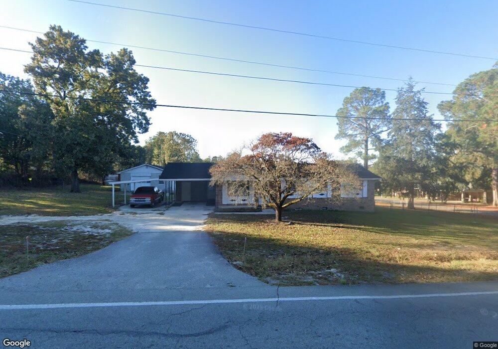
1520 Ramblin Rd West Columbia, SC 29172
Pine Ridge NeighborhoodEstimated Value: $186,000 - $206,000
3
Beds
2
Baths
1,353
Sq Ft
$144/Sq Ft
Est. Value
About This Home
This home is located at 1520 Ramblin Rd, West Columbia, SC 29172 and is currently estimated at $194,796, approximately $143 per square foot. 1520 Ramblin Rd is a home located in Lexington County with nearby schools including Herbert A. Wood Elementary School, Pine Ridge Middle School, and Airport High School.
Ownership History
Date
Name
Owned For
Owner Type
Purchase Details
Closed on
Oct 15, 2021
Sold by
Castle Angela S and Conway Angela C
Bought by
Shuford William T
Current Estimated Value
Home Financials for this Owner
Home Financials are based on the most recent Mortgage that was taken out on this home.
Original Mortgage
$118,560
Outstanding Balance
$108,116
Interest Rate
2.8%
Mortgage Type
New Conventional
Estimated Equity
$86,680
Purchase Details
Closed on
Apr 17, 2001
Sold by
Castle Arleen M
Bought by
Castle Angela S
Purchase Details
Closed on
Apr 6, 2001
Sold by
Hendrix Builders Inc
Bought by
Bone Robert T
Create a Home Valuation Report for This Property
The Home Valuation Report is an in-depth analysis detailing your home's value as well as a comparison with similar homes in the area
Home Values in the Area
Average Home Value in this Area
Purchase History
| Date | Buyer | Sale Price | Title Company |
|---|---|---|---|
| Shuford William T | $148,200 | None Available | |
| Castle Angela S | $1,000,000 | -- | |
| Bone Robert T | $90,000 | -- |
Source: Public Records
Mortgage History
| Date | Status | Borrower | Loan Amount |
|---|---|---|---|
| Open | Shuford William T | $118,560 |
Source: Public Records
Tax History Compared to Growth
Tax History
| Year | Tax Paid | Tax Assessment Tax Assessment Total Assessment is a certain percentage of the fair market value that is determined by local assessors to be the total taxable value of land and additions on the property. | Land | Improvement |
|---|---|---|---|---|
| 2024 | $906 | $5,928 | $800 | $5,128 |
| 2023 | $840 | $5,928 | $800 | $5,128 |
| 2022 | $841 | $5,928 | $800 | $5,128 |
| 2020 | $1,994 | $6,433 | $1,200 | $5,233 |
| 2019 | $2,070 | $4,282 | $720 | $3,562 |
| 2018 | $625 | $4,282 | $720 | $3,562 |
| 2017 | $601 | $4,282 | $720 | $3,562 |
| 2016 | $618 | $4,281 | $720 | $3,561 |
| 2014 | $440 | $4,461 | $618 | $3,843 |
| 2013 | -- | $4,460 | $620 | $3,840 |
Source: Public Records
Map
Nearby Homes
- 1306 Congaree Dr
- 1502 Pine St
- 632 Spruce Ln
- 114 Henston Dr
- 1124 Myrtle Rd
- 120 Hidden Acres Ln
- 0 Hyland Cir
- 151 Long Iron Ct
- 4156 Bachman Rd
- 1123 Pine St
- 945 Brookfield Dr
- 141 Shumpert Rd
- 1307 Main St
- 112 Preakness Ct
- 4705 McDonald Ave
- 500 Calcutta Dr
- 130 Mary Dr
- 1935 Valley View Rd
- 119 Hartford Place
- 109 Sedgewood Ln
- 1550 Anthony Dr
- 1511 Congaree Dr
- 1551 Anthony Dr
- 1509 Congaree Dr
- 1540 Anthony Dr
- 1537 Anthony Dr
- 1533 Anthony Dr
- 102 Pine Ridge Dr
- 1530 Anthony Dr
- 1527 Anthony Dr
- 1455 Ramblin Rd
- 1507 Congaree Dr
- 1451 Ramblin Rd
- 1517 Anthony Dr
- 1520 Anthony Dr
- 1450 Congaree Dr
- 1507 Anthony Dr
- 1508 Anthony Dr
- 1504 Anthony Dr
- 1503 Congaree Dr