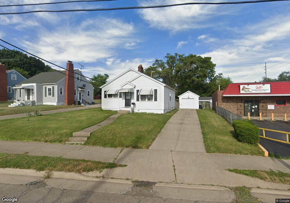
1520 Selma Rd Springfield, OH 45505
Estimated Value: $111,000 - $139,000
2
Beds
1
Bath
840
Sq Ft
$146/Sq Ft
Est. Value
About This Home
This home is located at 1520 Selma Rd, Springfield, OH 45505 and is currently estimated at $122,596, approximately $145 per square foot. 1520 Selma Rd is a home located in Clark County with nearby schools including Kenwood Elementary School, Hayward Middle School, and Springfield High School.
Ownership History
Date
Name
Owned For
Owner Type
Purchase Details
Closed on
Jun 18, 2019
Sold by
Shirey Paula M
Bought by
Jones Sharon K
Current Estimated Value
Home Financials for this Owner
Home Financials are based on the most recent Mortgage that was taken out on this home.
Original Mortgage
$40,500
Outstanding Balance
$35,312
Interest Rate
4%
Mortgage Type
New Conventional
Estimated Equity
$87,284
Purchase Details
Closed on
Jun 1, 1985
Create a Home Valuation Report for This Property
The Home Valuation Report is an in-depth analysis detailing your home's value as well as a comparison with similar homes in the area
Home Values in the Area
Average Home Value in this Area
Purchase History
| Date | Buyer | Sale Price | Title Company |
|---|---|---|---|
| Jones Sharon K | $54,000 | Landmark Ttl Agcy South Inc | |
| -- | $12,500 | -- |
Source: Public Records
Mortgage History
| Date | Status | Borrower | Loan Amount |
|---|---|---|---|
| Open | Jones Sharon K | $40,500 |
Source: Public Records
Tax History
| Year | Tax Paid | Tax Assessment Tax Assessment Total Assessment is a certain percentage of the fair market value that is determined by local assessors to be the total taxable value of land and additions on the property. | Land | Improvement |
|---|---|---|---|---|
| 2025 | $825 | $35,530 | $5,610 | $29,920 |
| 2024 | $834 | $26,470 | $5,250 | $21,220 |
| 2023 | $834 | $26,470 | $5,250 | $21,220 |
| 2022 | $875 | $26,470 | $5,250 | $21,220 |
| 2021 | $595 | $19,870 | $3,210 | $16,660 |
| 2020 | $596 | $19,870 | $3,210 | $16,660 |
| 2019 | $1,067 | $19,870 | $3,210 | $16,660 |
| 2018 | $297 | $14,060 | $3,010 | $11,050 |
| 2017 | $297 | $20,234 | $3,007 | $17,227 |
| 2016 | $297 | $20,234 | $3,007 | $17,227 |
| 2015 | $285 | $18,162 | $3,007 | $15,155 |
| 2014 | $568 | $18,162 | $3,007 | $15,155 |
| 2013 | $281 | $18,162 | $3,007 | $15,155 |
Source: Public Records
Map
Nearby Homes
- 1440 Selma Rd
- 1111 Lafayette Ave
- 1225 Beacon St
- 900 E Rose St
- 908 Pine St
- 1806 N Sweetbriar Ln
- 920 Oak St
- 652 E Southern Ave
- 1554 S Belmont Ave
- 1835 S Sweetbriar Ln
- 1652 Kenton St
- 1714 Kenton St
- 1724 S Belmont Ave
- 550 E Rose St
- 1846 Ohio Ave
- 2040 N Hadley Rd
- 2108 Sunset Ave
- 1724 Clay St
- 1008 Tibbetts Ave
- 1820 Clay St
- 1518 Selma Rd
- 1310 Sunset Ave
- 1514 Selma Rd
- 1322 Sunset Ave
- 1510 Selma Rd
- 1602 Selma Rd
- 1324 Sunset Ave
- 1202 Selma Rd
- 1321 Sunset Ave
- 1605 Selma Rd
- 1326 Sunset Ave
- 1408 Sunset Ave
- 1436 Selma Rd
- 1325 Sunset Ave
- 1606 Selma Rd
- 1430 Selma Rd
- 1420 Sunset Ave
- 1407 Sunset Ave
- 1321 Rutland Ave
- 1424 Selma Rd
Your Personal Tour Guide
Ask me questions while you tour the home.