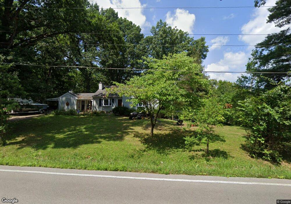
1520 Springdale Rd Cincinnati, OH 45231
New Burlington NeighborhoodEstimated Value: $212,573 - $236,000
4
Beds
1
Bath
1,132
Sq Ft
$196/Sq Ft
Est. Value
About This Home
This home is located at 1520 Springdale Rd, Cincinnati, OH 45231 and is currently estimated at $222,393, approximately $196 per square foot. 1520 Springdale Rd is a home located in Hamilton County with nearby schools including Mt Healthy High School and Central Montessori Academy.
Ownership History
Date
Name
Owned For
Owner Type
Purchase Details
Closed on
Dec 30, 2019
Sold by
Judd Cindy A and Lebourveau David
Bought by
Dillingham Jacob Bryant and Dillingham Emily
Current Estimated Value
Home Financials for this Owner
Home Financials are based on the most recent Mortgage that was taken out on this home.
Original Mortgage
$108,750
Outstanding Balance
$96,085
Interest Rate
3.6%
Mortgage Type
Future Advance Clause Open End Mortgage
Estimated Equity
$126,308
Purchase Details
Closed on
Mar 20, 2015
Sold by
Kiley Donald J
Bought by
Judd Cindy A and Judd Cynthia A
Create a Home Valuation Report for This Property
The Home Valuation Report is an in-depth analysis detailing your home's value as well as a comparison with similar homes in the area
Home Values in the Area
Average Home Value in this Area
Purchase History
| Date | Buyer | Sale Price | Title Company |
|---|---|---|---|
| Dillingham Jacob Bryant | $145,000 | Prodigy Title Agency | |
| Judd Cindy A | -- | Attorney |
Source: Public Records
Mortgage History
| Date | Status | Borrower | Loan Amount |
|---|---|---|---|
| Open | Dillingham Jacob Bryant | $108,750 |
Source: Public Records
Tax History Compared to Growth
Tax History
| Year | Tax Paid | Tax Assessment Tax Assessment Total Assessment is a certain percentage of the fair market value that is determined by local assessors to be the total taxable value of land and additions on the property. | Land | Improvement |
|---|---|---|---|---|
| 2024 | $4,001 | $68,530 | $39,207 | $29,323 |
| 2023 | $3,783 | $68,530 | $39,207 | $29,323 |
| 2022 | $3,889 | $50,751 | $38,322 | $12,429 |
| 2021 | $3,808 | $50,751 | $38,322 | $12,429 |
| 2020 | $3,836 | $50,751 | $38,322 | $12,429 |
| 2019 | $3,906 | $48,220 | $30,174 | $18,046 |
| 2018 | $3,928 | $48,220 | $30,174 | $18,046 |
| 2017 | $3,743 | $48,220 | $30,174 | $18,046 |
| 2016 | $3,506 | $44,328 | $28,690 | $15,638 |
| 2015 | $3,517 | $44,328 | $28,690 | $15,638 |
| 2014 | $3,498 | $44,328 | $28,690 | $15,638 |
| 2013 | $3,763 | $48,713 | $31,528 | $17,185 |
Source: Public Records
Map
Nearby Homes
- 10493 Mill Rd
- 10525 Mill Rd
- 10467 Mill Rd
- 1662 Springdale Rd
- 10591 Wellingwood Ct
- 1763 Springdale Rd
- 1717 Aspenhill Dr
- 10410 Maria Ave
- 1762 Lockbourne Dr
- 5 Briarwood Ln
- 2 Brompton Ln
- 1917 Springdale Rd
- 1890 Lotushill Dr
- 65 Damon Rd
- 48 Damon Rd
- 10443 Burlington Rd
- 22 Avenell Ln
- 1 Dewitt St
- 7 Dewitt Ct
- 2000 Struble Rd
- 1514 Springdale Rd
- 1526 Springdale Rd
- 1538 Springdale Rd
- 1517 Springdale Rd
- 1502 Springdale Rd
- 1540 Springdale Rd
- 1546 Springdale Rd
- 1547 Springdale Rd
- 10602 Stargate Ln
- 1552 Springdale Rd
- 10607 Stargate Ln
- 1533 Springdale Rd
- 10608 Stargate Ln
- 10615 Stargate Ln
- 1558 Springdale Rd
- 1557 Springdale Rd
- 10614 Stargate Ln
- 10490 Mill Rd
- 1564 Springdale Rd
- 10620 Stargate Ln