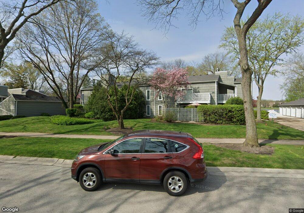
1520 Stonebridge Trail Unit 1-2 Wheaton, IL 60189
West Wheaton NeighborhoodEstimated Value: $232,610 - $300,000
2
Beds
2
Baths
1,246
Sq Ft
$215/Sq Ft
Est. Value
About This Home
This home is located at 1520 Stonebridge Trail Unit 1-2, Wheaton, IL 60189 and is currently estimated at $267,403, approximately $214 per square foot. 1520 Stonebridge Trail Unit 1-2 is a home located in DuPage County with nearby schools including Madison Elementary School, Edison Middle School, and Wheaton Warrenville South High School.
Ownership History
Date
Name
Owned For
Owner Type
Purchase Details
Closed on
Nov 26, 1997
Sold by
Spence Kimberly
Bought by
Thorne Carol B
Current Estimated Value
Purchase Details
Closed on
Oct 13, 1995
Sold by
Malone Carol
Bought by
Spence Kimberly
Home Financials for this Owner
Home Financials are based on the most recent Mortgage that was taken out on this home.
Original Mortgage
$88,300
Interest Rate
8.05%
Purchase Details
Closed on
Jan 31, 1994
Sold by
Old Kent Bank
Bought by
Malone Carol
Home Financials for this Owner
Home Financials are based on the most recent Mortgage that was taken out on this home.
Original Mortgage
$40,000
Interest Rate
7.22%
Create a Home Valuation Report for This Property
The Home Valuation Report is an in-depth analysis detailing your home's value as well as a comparison with similar homes in the area
Home Values in the Area
Average Home Value in this Area
Purchase History
| Date | Buyer | Sale Price | Title Company |
|---|---|---|---|
| Thorne Carol B | $100,000 | -- | |
| Spence Kimberly | $93,000 | -- | |
| Malone Carol | $85,000 | Attys Title Guaranty Fund In |
Source: Public Records
Mortgage History
| Date | Status | Borrower | Loan Amount |
|---|---|---|---|
| Previous Owner | Spence Kimberly | $88,300 | |
| Previous Owner | Malone Carol | $40,000 |
Source: Public Records
Tax History
| Year | Tax Paid | Tax Assessment Tax Assessment Total Assessment is a certain percentage of the fair market value that is determined by local assessors to be the total taxable value of land and additions on the property. | Land | Improvement |
|---|---|---|---|---|
| 2024 | $1,472 | $66,085 | $5,323 | $60,762 |
| 2023 | $1,543 | $60,830 | $4,900 | $55,930 |
| 2022 | $1,929 | $49,420 | $4,630 | $44,790 |
| 2021 | $1,971 | $48,250 | $4,520 | $43,730 |
| 2020 | $1,985 | $47,800 | $4,480 | $43,320 |
| 2019 | $1,994 | $46,540 | $4,360 | $42,180 |
| 2018 | $2,018 | $43,950 | $4,120 | $39,830 |
| 2017 | $2,068 | $42,330 | $3,970 | $38,360 |
| 2016 | $2,130 | $40,640 | $3,810 | $36,830 |
| 2015 | $2,221 | $38,770 | $3,630 | $35,140 |
| 2014 | $3,243 | $50,880 | $4,750 | $46,130 |
| 2013 | $3,163 | $51,030 | $4,760 | $46,270 |
Source: Public Records
Map
Nearby Homes
- 1612 Stonebridge Trail
- 1440 Stonebridge Cir Unit J7
- 1442 Stonebridge Cir Unit I8
- 1462 Stonebridge Cir Unit F10
- 2043 Spring Green Dr
- 1533 S County Farm Rd Unit 1-4
- 1605 Burning Trail
- 1601 W Wiesbrook Rd
- 1S710 Shaffner Rd
- 1S728 Shaffner Rd
- 1519 Foothill Dr
- Lot 1 Foothill Dr
- 870 S Kilkenny Dr Unit D
- 1s050 Shaffner Rd
- 1478 Timber Trail Unit 15C
- 1474 Timber Trail Unit D
- 615 Polo Dr
- 1028 Lodalia Ct
- 705 S Gables Blvd
- 1021 Greenwood Dr
- 2099 Creekside Dr
- 2099 Creekside Dr
- 2099 Creekside Dr Unit 113
- 2099 Creekside Dr Unit 2-4
- 2099 Creekside Dr Unit 2-2
- 2099 Creekside Dr Unit 2-3
- 2099 Creekside Dr Unit 121
- 2099 Creekside Dr Unit 2-1
- 2099 Creekside Dr Unit 1-3
- 2099 Creekside Dr Unit 1-1-2
- 1520 Stonebridge Trail
- 1520 Stonebridge Trail Unit 2-2
- 1520 Stonebridge Trail Unit 1-1
- 1520 Stonebridge Trail Unit 2-3
- 1520 Stonebridge Trail Unit 1-4
- 1520 Stonebridge Trail Unit 1-3
- 1520 Stonebridge Trail Unit 724
- 1520 Stonebridge Trail Unit 2-1
- 2091 Creekside Dr Unit 2-2
- 2091 Creekside Dr Unit 2-3
Your Personal Tour Guide
Ask me questions while you tour the home.