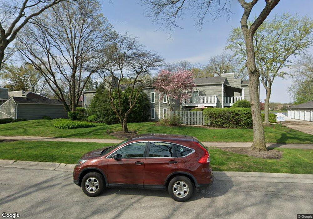
1520 Stonebridge Trail Unit 724 Wheaton, IL 60189
West Wheaton NeighborhoodEstimated Value: $232,075 - $286,000
2
Beds
2
Baths
1,246
Sq Ft
$210/Sq Ft
Est. Value
About This Home
This home is located at 1520 Stonebridge Trail Unit 724, Wheaton, IL 60189 and is currently estimated at $261,769, approximately $210 per square foot. 1520 Stonebridge Trail Unit 724 is a home located in DuPage County with nearby schools including Madison Elementary School, Edison Middle School, and Wheaton Warrenville South High School.
Ownership History
Date
Name
Owned For
Owner Type
Purchase Details
Closed on
Jul 30, 2001
Sold by
Dillard Jack H and Dillard Arbutus L
Bought by
Lee April Ann
Current Estimated Value
Home Financials for this Owner
Home Financials are based on the most recent Mortgage that was taken out on this home.
Original Mortgage
$103,700
Outstanding Balance
$38,900
Interest Rate
6.62%
Mortgage Type
Purchase Money Mortgage
Estimated Equity
$222,869
Create a Home Valuation Report for This Property
The Home Valuation Report is an in-depth analysis detailing your home's value as well as a comparison with similar homes in the area
Home Values in the Area
Average Home Value in this Area
Purchase History
| Date | Buyer | Sale Price | Title Company |
|---|---|---|---|
| Lee April Ann | $122,000 | -- |
Source: Public Records
Mortgage History
| Date | Status | Borrower | Loan Amount |
|---|---|---|---|
| Open | Lee April Ann | $103,700 |
Source: Public Records
Tax History Compared to Growth
Tax History
| Year | Tax Paid | Tax Assessment Tax Assessment Total Assessment is a certain percentage of the fair market value that is determined by local assessors to be the total taxable value of land and additions on the property. | Land | Improvement |
|---|---|---|---|---|
| 2024 | $3,084 | $55,721 | $5,323 | $50,398 |
| 2023 | $2,934 | $51,290 | $4,900 | $46,390 |
| 2022 | $3,016 | $49,420 | $4,630 | $44,790 |
| 2021 | $2,911 | $48,250 | $4,520 | $43,730 |
| 2020 | $2,987 | $47,800 | $4,480 | $43,320 |
| 2019 | $2,911 | $46,540 | $4,360 | $42,180 |
| 2018 | $2,757 | $43,950 | $4,120 | $39,830 |
| 2017 | $2,705 | $42,330 | $3,970 | $38,360 |
| 2016 | $2,638 | $40,640 | $3,810 | $36,830 |
| 2015 | $2,620 | $38,770 | $3,630 | $35,140 |
| 2014 | $3,650 | $50,880 | $4,750 | $46,130 |
| 2013 | $3,558 | $51,030 | $4,760 | $46,270 |
Source: Public Records
Map
Nearby Homes
- 1420 Stonebridge Trail Unit 1-3
- 1460 Stonebridge Cir Unit G9
- 1477 S County Farm Rd Unit 23F
- 1521 S County Farm Rd Unit 1-1
- 1601 W Wiesbrook Rd
- 1961 Wexford Cir Unit 116
- 1S710 Shaffner Rd
- 1S728 Shaffner Rd
- 1519 Foothill Dr
- 27W041 Walz Way
- 27W020 Walz Way
- Lot 1 Foothill Dr
- 1907 Gresham Cir Unit D
- 1785 Grosvenor Cir Unit A
- 2059 W Roosevelt Rd
- 1s050 Shaffner Rd
- 1110 S Gables Blvd
- 2S386 Seneca Dr
- 615 Polo Dr
- 2S501 Seneca Dr
- 1520 Stonebridge Trail
- 1520 Stonebridge Trail Unit 2-2
- 1520 Stonebridge Trail Unit 1-1
- 1520 Stonebridge Trail Unit 2-3
- 1520 Stonebridge Trail Unit 1-4
- 1520 Stonebridge Trail Unit 1-2
- 1520 Stonebridge Trail Unit 1-3
- 1520 Stonebridge Trail Unit 2-1
- 2099 Creekside Dr
- 2099 Creekside Dr
- 2099 Creekside Dr Unit 113
- 2099 Creekside Dr Unit 2-4
- 2099 Creekside Dr Unit 2-2
- 2099 Creekside Dr Unit 2-3
- 2099 Creekside Dr Unit 121
- 2099 Creekside Dr Unit 2-1
- 2099 Creekside Dr Unit 1-3
- 2099 Creekside Dr Unit 1-1-2
- 2091 Creekside Dr Unit 2-2
- 2091 Creekside Dr Unit 2-3